Hollow Rock... Which is correct?

H.W.Stockman
Jan 04, 2025

I was up Hollow Rock Peak (Southern Red Rock, near Las Vegas) 3x in the last 2 months.
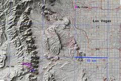
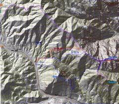
The red track in the first map is for this report, on 01-04-2025; it has the least gratuitous up-and-down.  I made it to the summit, without rushing, in 56 minutes. 

The map shows 2 other recent tracks from the west. The real hard (cardio-wise) routes are from the east.

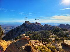
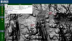
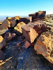
Apparently the location of Hollow Rock was mis-entered on Peakbagger long ago, as the location of what we locals knew as "Facade Peak," a class 2 bump to the SW of Hollow Rock. Paula Raimondi noticed the error and began a lively commentary in the registers. The lastest LIDAR from USGS shows that Hollow Rock is at least 31' higher than Facade.

The LIDAR assigns 6003' to the Hollow Rock summit, with 110' prominence. My dual-channel GPS gave 6005.5' +/- 2.7' for 7 points taken when the GPS was lying by the top cairn.

0map0a
Route up Hollow Rock
in last 2 months
1map0
Context
20250104_085727
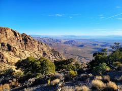
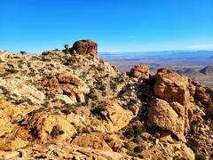
At ridge, Windy
Peak at L
20250104_090135
The peaks are
~1/2 mile away.
20250104_090135b_Lidar
The usgs LIDAR
site, with my editing
for Facade. Use the
LIDAR usgs and
these coords

36.00855, -115.46921

36.00799, -115.47032


20250104_092047
Top Hollow Rock,
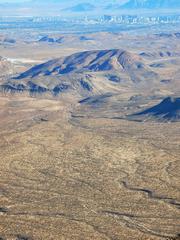
view to Vegas
20250104_092104
View to
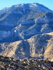
Potosi from
Hollow Rock
20250104_092110
South Point
from Hollow
Rock
20250104_092116
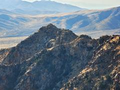
Pa's Rump from
Hollow Rock
20250104_092523 20250104_092747 - frame at 0m36s
Clown shoes
20250104_094250
My first 3.2 mm
Dyneema rap
in 2.5 years
20250104_095737
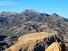
Hollow Rock
from Facade;
Mts to R of peak
are Muddies,
over 5300'
20250104_100047
Register on
Facade
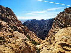
20250104_100649
View SE on
way back
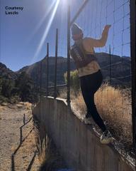
fence
There is an easy
way to circumvent
wildlife fence
near the parking.
The right side
of the fence is
a walk. Totally
legal.