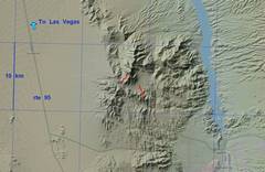
Iguana Peak, Southern Nevada

In "Rambles and Scrambles," CP called this Class 3/4 by NE gully. For the summit block, I took the way described by Bob B, which actually starts at the SE base of the summit block. I also took a gentler, more circuitous approach on the east side. While there is some exposure, the approach is class 2 and the summit block is almost entirely class 3, with a few sketchy bits and granite that occasionally looses crystals about the size of marbles. GPS file; don't open in browser, but "save as" or "download" to your device. Use GPS file at your own risk.

Pics by Harlan W S

Feb 13, 2022

0map0 1map0
context map
20220213_101759
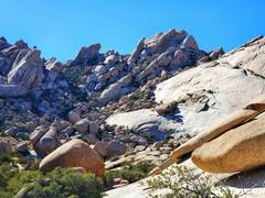
The view on approach S
from Xmas Tree Pass Road.
20220213_104511
One heads through
benign desert to this
pass, where there are 2
obnoxious but short
bits of brush fighting.
20220213_105014
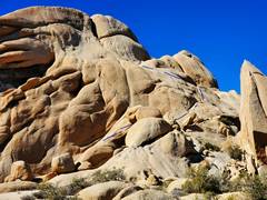
We will avoid this
bouldery gully, and
instead cut left up a
slope.
20220213_112916
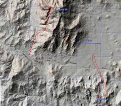
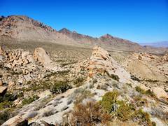
The approximate route,
from SE corner of
summitblock. Dots
indicate where route
goes BEHIND cliffs.
20220213_113238
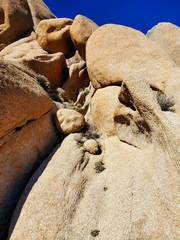
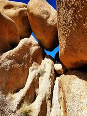
The "tunnel" mentioned
by Bob B.
20220213_113905
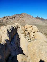
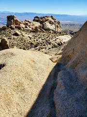
View back ~ESE at
top of ramp
20220213_114302
20220213_114313 20220213_114614
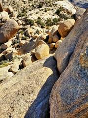
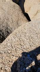
The crumbly granite
surface
20220213_114710_Moment2
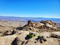
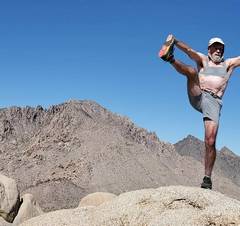
Sports bra drawn
in for modesty.
20220213_114922
Sprit Mt to NW
20220213_114928 20220213_115413
Heading down,
tricky section
below.
20220213_115710
The safe but exposed
way is at R. This steep
ridge seems great except
the granite surface tends
to peel off. But
a person could be
belayed up.
20220213_115901
Heading SE back
down "ramp."
20220213_120133
View back at rock
below "tunnel."

20220213_122844
View N at pass
20220214_060650
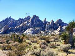
Space Needle
from campsite.