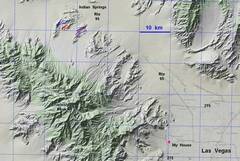
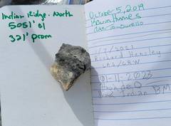
 3 hikes.Purple on Jan 11/23; Blue on Jan 02/23; Red on Dec 31/22. |
 Start with the latest (Jan 11), an Indian Ridge loop. |
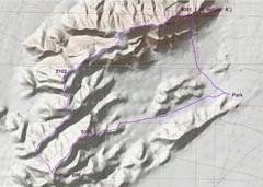
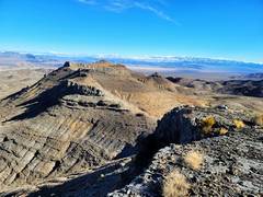
 From near Park, this view is N to 5051, and shows the way I will descend at end of hike. If I did this again, I would probably start with a climb up S face 5051 and go counterclockwise over 1676T |
 View WSW to next lumps. |
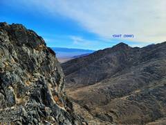
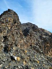
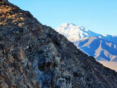
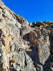
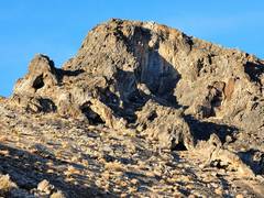 1544T (m) looks intimidating from this angle; but is just stiff class 3 around left corner |
 From 1544T. |
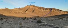
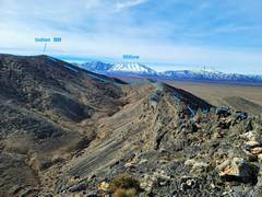
 View SE from ridge, on way to Indian BM |
 Top of Indian BM, View ~NE. |
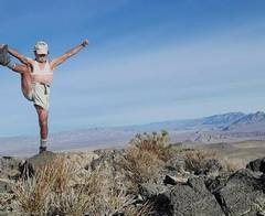 Top of Indian BM, sports bra drawn in for modesty. |
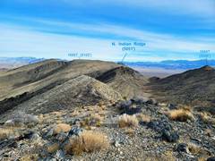
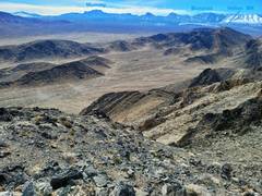
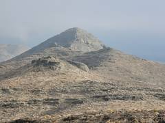
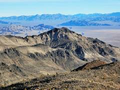 View (zoom) NE to 5051, where we will eventually traverse. |
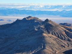
 View SW from Indian BM. 1676T is the ridge HighPoint, where I'll be next week. |
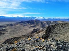
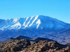
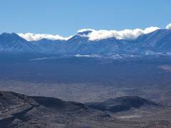
 Mummy Range. |
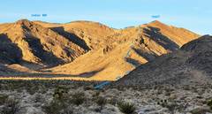
 Now I've crossed slight saddle to next peaklet. View ~NE. |
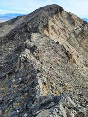
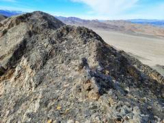
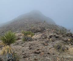
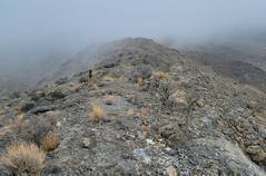
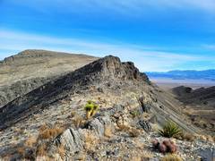 Slightly rough ridge. |
 |
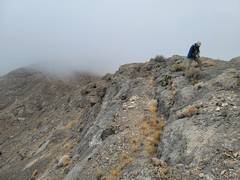
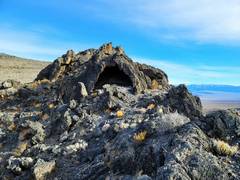 Shallow erosion cave on rough ridge. |
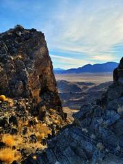
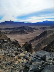
 From rough ridge, view SW. |
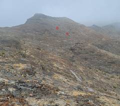
 Another look at 5051. |
 Unneccesary zoom NE. Mountains in back are on AFB land. |
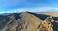
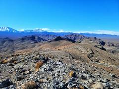
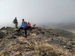
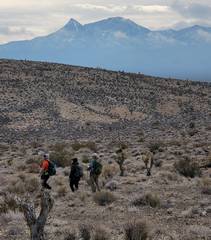
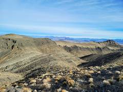 Still have a ways to go. Most is an easy ridge-walk. |
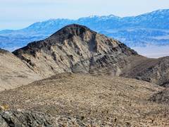 |
 5051 to NE. Ridge begins to get rough. |
 View SE just before ridge to 5051. |
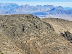
 The ridge is very rough; staying exactly on it is sketchy cl 4 (and very slow), but ridge can be made cl 2. |
 Oops, false summit. |
 |
 View SW from top of 5051 |
 View NW from top of 5051. |
 ~SSE from 5051 |
 Sheeps and prison to NE. |
 I walked NE from 5051 on surprisingly nasty terrain. I picked a descent gully that didn't seem to have hidden dryfalls. |
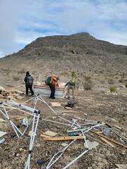
 The way to my car crossed a terrain covered with litter, mostly stuff used for gun targets. |
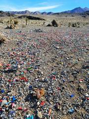 A tiny fraction of the shell casings. |
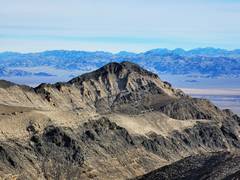
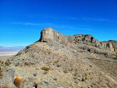
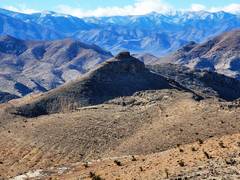
 Ison Peak and ridge to Traction. |
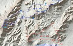 Jan 02/2023 trip is shown in blue. Dec 31/2022 trip in red. |
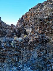
 Jan 02. I started randomly toward Smith BM, by this neat canyon. |
 Wheeler (Toiyabe) in back. I mostly just followed the ridge. |
 Willow from top |
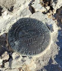
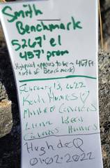
 Macks from top of Smith. Actual benchmark is a bit S of highpoint. |
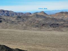
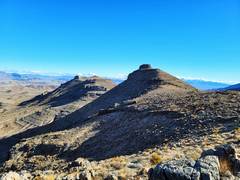
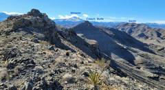
 Creech Overlook (L) and Creech Butte (R), view E from Smith. |
 |
 Oops, not quite right. |
 On the descent, I decided to try the canyon; it was tough getting there... |
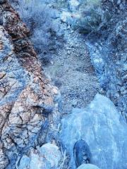 ...and I soon came to a 10' drop beneath a chock- stone. I climbed out. |
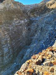 I wasted 30 minutes at least, then looked back at the canyon to see more pour-offs, the last at least 30'. |
 Magically, I'm now on the ridge before the Creeches. |
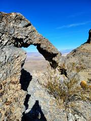
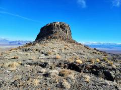 The Butte actually has a class 2 cut on SW side, and an even easier cut on E. |
 There is a design drawn in stones, perhaps that's what "sacred" means? CP saw the design years back. |
 |
 Creech Overlook from top of C Butte |
 |
 Perhaps there is another way, but these were the two breaks I saw in the cliffs below Overlook. |
 Break I took up. A bit steeper than it looks. |
 |
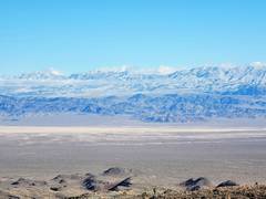
 View back to Spring Mts over Creech Butte |
 View to Sheep Mts |
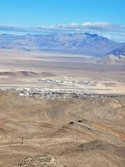 View N over Indian Springs. |
 |
 |
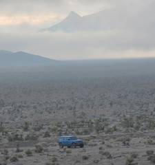
 Clouds come in over McFarland |
 This is where I exited downslope at R |
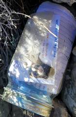
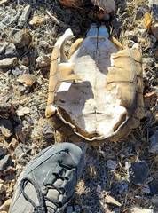 Poor guy. |
 On Dec 31, Kevin, Michelle, Laszlo and I did the red hike on the previous map. |
 Heading up 4839' |
 View to 4808'. Hmm, sure looks higher. |
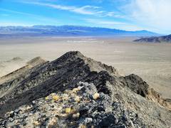
 Top of 4839. |
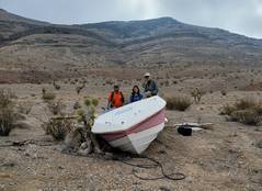 Boat dumped in the desert. |
 Heading up ridge to 5035. |
 |
 |
 View of Michelle and Kevin dropping off E side of 5035. |
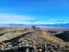
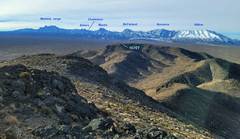
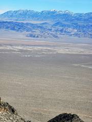
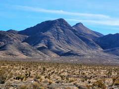
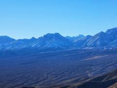
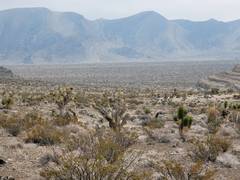 The range that contains Indian BM |
 remains of druggie camp |
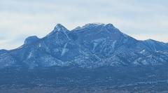
 Mummy Nose is sharp peak. |
 Spring Mts to S. |