Kingston Trio
Kingston Peak (7335'), CA.
This DPS summit is located near the NV border, S of Pahrump and W of Las Vegas. Here's a summitpost description.
Pics by Harlan W. S.
May 03, 2006 |
Remember the Kingston Trio? Then you probably also remember hula-hoops, Ipana, and the movie "The Russians are Coming".
The start of this hike can be approached from the Rte 15 in California, then the Kingston/Excelsior Mine Rd W of Mountain Pass (as described in Andy Zdon's "Desert Summits"). If you live near Henderson, NV, the fastest approach is probably to take I-15 ~57 miles S from the intersection with Route 160 (Blue Diamond Highway). Then take the right (N) off-ramp for the Kinston Road, and drive N and W for 29-30 miles (the road becomes the Excelsior Mine Road) to your choice of starting positions. Or, if you plan to drive from the west side of Vegas, you can take 160 west, as described at the end of the page. This map shows the roads one takes from west Vegas. A GPS file is at the end of the page.
This is an arduous hike, best left for early starts and cool weather (we were a bit short on both). Some advice: the vast majority would probably opt to wear long pants on this hike, if forewarned about the brush. I'd still wear shorts, but I'm a nut.
My comrades had little sleep the night before, and the Siberian made things more interesting by getting sunscreen in her eyes, so she did half the hike near blind.
Here's Kingston as seen from the NW (Nopah Range hike). Here's Kingston as seen from the NE, on Pa's Rump.
|
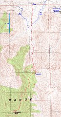
GPS trace. We ascended the normal route to the "U-shaped notch". |
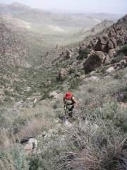
View N, perhaps 80% of way up to U-shaped notch (in terms of elevation gain). The brush turns to a mix of sage and wild (thorny) roses. |
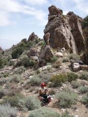
View E at notch. Most of the hike winds around granite/rhyolite spires. |
|
|
|
|
|
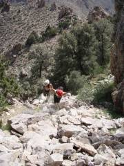
View E. The Siberian and the Surfer trudge up the N side of ridge. |
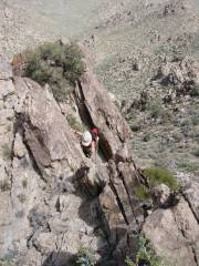
Really, this is a class 2 hike, but these guys always found a more challenging way. |
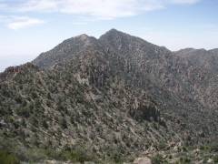
First view of Kingston Peak, to S, as one "turns L" to the rough ridgeline. |
|
|
|
|
|
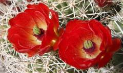
Claret cups. |
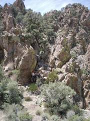
View S, in one of many places one has to wend among granite pinnacles. |
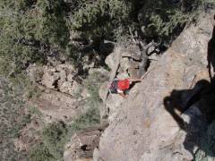
Just below summit, the Siberian once more finds a challenge (still half-blinded by sunscreen in her eyes). |
|
|
|
|
|
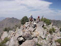
View N at summit. |

Look at me! Look at me!
View S in the haze. |
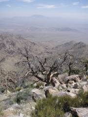
It was a hazy day. Clark Mt. is on skyline. |
|
|
|
|
|
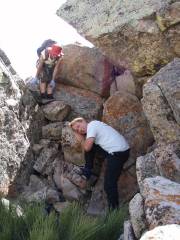
Surfer took a nap below summit. |
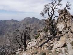
View NW on burned-over area. |
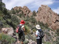
Heading back N. |
|
|
|
|
|
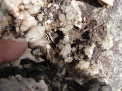
The upper rocks are rhyolite/granites, and have many vugs and cracks filled with quartz crystals. |
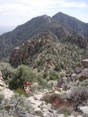
View S. |
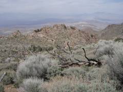
View NE from crest. The U-shaped notch (viewed from the back) is just out-of-sight on R side of picture. |
|
|
|
|
|
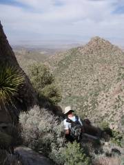
Nolina off to L of Surfer. |
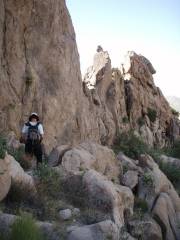
Heading S on descent. This wall provided welcome shade. |

A pea or vetch. |
|
|
|
|
|
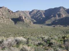
View S from car, near 5:45 PM. The "U-shaped notch" is just left of center on the skyline. |
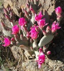
Beavertail cactus. |
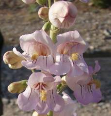
Palmer's penstemon. |
|
|
|
|
Getting to the trailhead from western Las Vegas:
--From Gas Station at rtes 159 and 160 to Mountain Springs Fire Station: 10.1 miles.
--From Mountain Springs, along 160, to left turn on Old Spanish Trail Highway (OSTH): 17 miles.
(At left turn, there is a tall signal tower on opposite (north) side of road.)
--From left turn, on OSTH, to left turn on Mesquite Rd: 22.2 miles.
--On Mesquite Rd to east (left) turn on Smith Talc Rd: 8.1 miles.
--On Smith Talc Rd east: 10.3 miles to parking place shown on GPS trace.
Note: 1st four miles on Smith Talc Road are pretty good, then there are some washouts. Though not particularly deep, they will get your attention if you are going more than ~20 mph.
Note: The Surfer found an old road, not more than 1/4 mile east of the start of the GPS trace, which gives a brush-free start for at least 1/2 mile.
GPS files:
USE AT YOUR OWN RISK. Please, please PLEASE note this file is relative to WGS84.
Here is GPX file with a track for the normal route, two alternative short routes on crude roads, and some waypoints for the drive from west Las Vegas. You can upload these data to a GPS with the free program G7toWin, via a Windows computer. You can also use that program to convert to another format, such as Garmin gdb.


