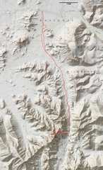
 Our track, near DPS A. The section across Growler Wash was brushy, and I would reroute that 1st part of the trip. |
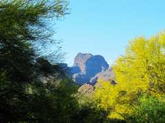
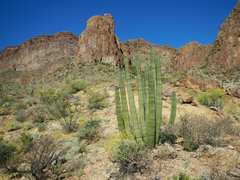
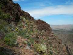
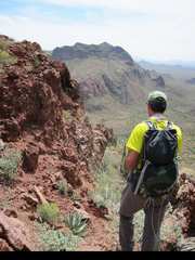
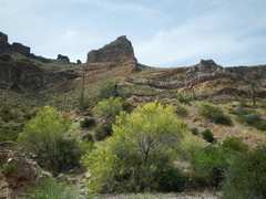
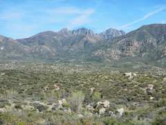
 View of Kino to S, from near the TH. There is actually an improbable, mainly class 2 way snaking diagonally across those steep faces. Loose rock (often perched over cliffs) is the biggest danger. |
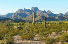
 Pic courtesy Craig J; palo verdes in bloom. |
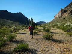
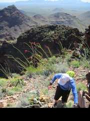
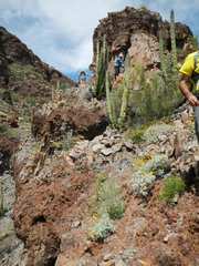
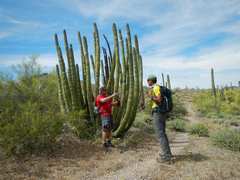
 Craig and Bill examine one of many pieces of detritus left by immigrants and smugglers |
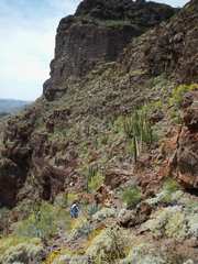
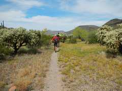
 Now we head south through main wash E of peak. |
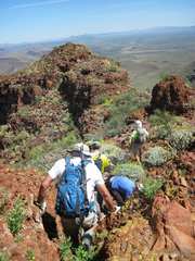
 Bill and I will stay just R of rocky prominence; others will head up wash to R. |
 Pic courtesy of Craig J. Jeff climbs the precarious face. |
 |
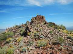
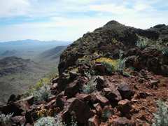
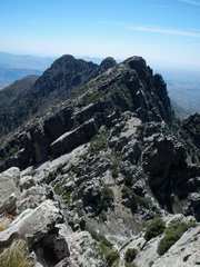
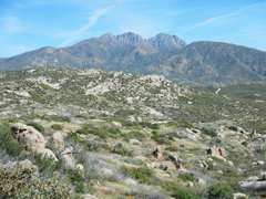
 South Kino. From the N peak, one can see lower mountains over the top, so this crag must be lower than the N peak. |
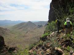
 View back north to folks gathering on N peak |
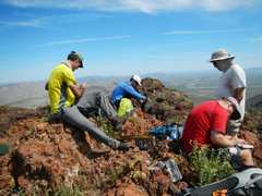 L to R: Bill, Jeff, Craig (red shirt), John |
 Photo courtesy Craig J. |
 |
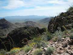
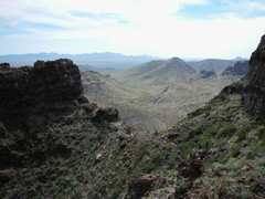
 View NE as we head back down |
 |
 about to start descent over NE face |
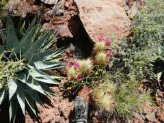 Many beautiful spiky plants are waiting to embed in your skin. |
 |
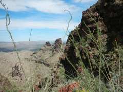
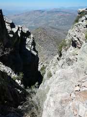
 View back SW from just above NE face. |
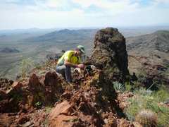
 Pic courtesy Craig J. Bill examines a possibility. |
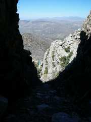
 View E across saddle; one must drop, then traverse to L. |
 View NW, over ridge bounding DPS B |
 Bill contemplates the start of traverse. Pic courtesy Craig J. |
 |
 The traverse from saddle. |
 |
 |
 |
 |
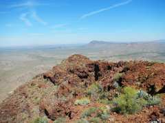
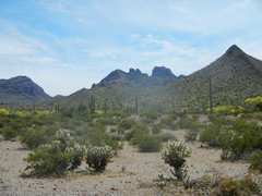 From near parking, view S at peak. |
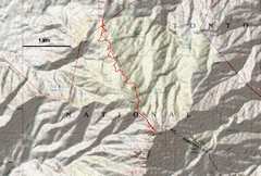 Browns is reached by a long (20 mile) but very good dirt road, with some steep and exposed sections. |
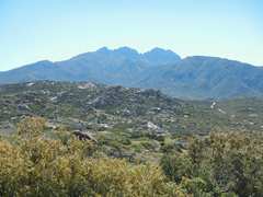 The Four Peaks to E; Browns is at L. |
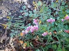 Vetch near start of hike. |
 |
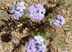 Verbena |
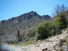 View up at N side of Browns, showing class 2 & 3 gully |
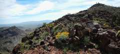
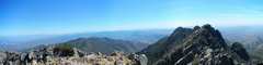
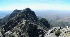 View SSW over peaks 2, 3 and 4 |
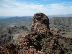
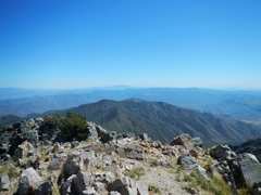
 View NE from summit |
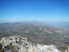
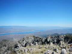
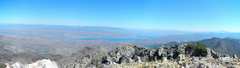 View SSE from summit over Apache Lake |
 |
 Pano S from summit. |
 |
 |
 Beginning descent. There is a chockstone just below top of gully, requiring a mantel, which turns back many folks |
 |
 The arrow points to folks who turned back |
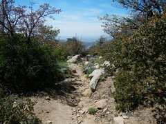
 Imagine hiking through the manzanita, if there were no trail! |
 lupines |
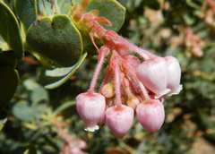 manzanita flowers |
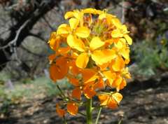 wallflower |
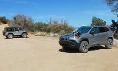 Overkill for this road-- but you will spend a lot of time in 1st gear. |
 View back on the Four Peaks. |
 |
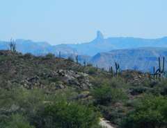 Weaver's Needle to S. |
"The Department of the Interior, National Park Service (NPS) and U.S. Customs and Border Protection has constructed infrastructure and increased numbers of agents and park rangers.Where there used to be a barbed wire fence designating the border there is now a 30-mile vehicle barrier fence and a 5.2-mile pedestrian fence.The NPS has increased the Visitor and Resource Protection staff from 5 park rangers to 20.The Border Patrol Ajo Station in the Tucson Sector has increased from 25 agents to over 500.The Department of Homeland Security has installed towers with radio and imaging technology that also aids in the tracking and apprehension of those engaged in illegal smuggling."