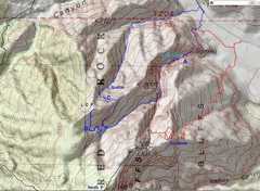
 We took the blue route today. The red route is the exit over Goodman, the black is the exit over North Peak. |
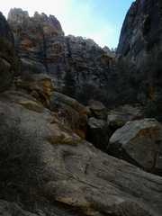
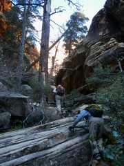
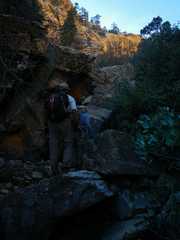
 Before point A on the map. we first round the bend into Lost Creek Canyon. |
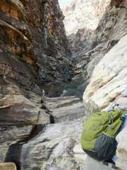
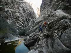
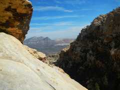
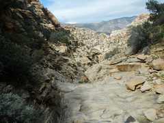
 Heading west into the very steep-walled Lost Creek. The canyon is so steep that a GPS will usually not get enough satellites for a fix after the first half mile. |
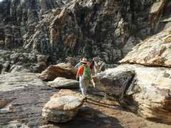
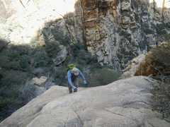
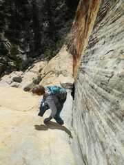
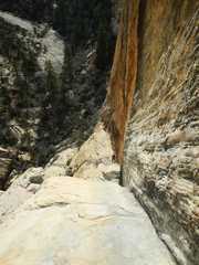
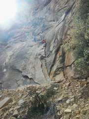
 One must surmount this thin ledge on the N side of the canyon. |
 |
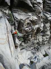
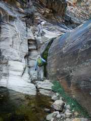
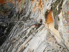
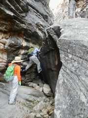 I will be helped at this obstacle by my flexibility. |
 View down on Candace at the obstacle. |
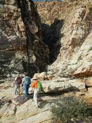
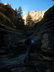
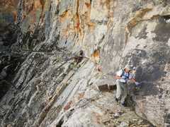
 Near point A, I climb up quickly to get photos. |
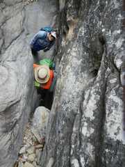
 Candace climbs up. |
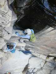
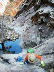
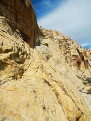
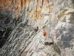
 Here I found a way around the left side of the pool. |
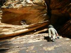
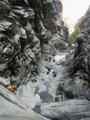
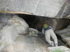
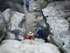
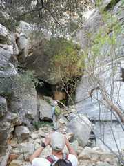 Next we must go L under this huge chockstone. |
 |
 |
 |
 I wonder how I got this picture! |
 |
 |
 |
 Me make a strategic right turn (where the blue track diverges from the red in the map)/ |
 |
 |
 |
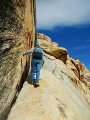
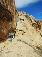 At point B, we head N up a ledge. Mounting the ledge was not easy. |
 |
 |
 |
 |
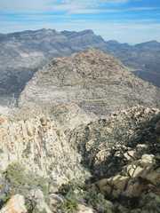
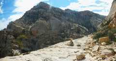
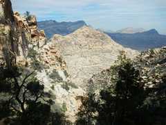
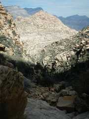
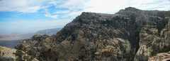 View of North Peak from Lost Creek "Peak." |
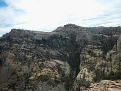 |
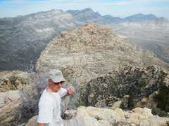 Jim, and View N over White Rock Hills Peak to LaMadre. |
 |
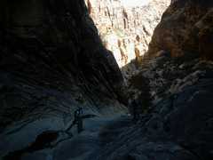
 Heading back S. |
 |
 S back down the ledge near B. |
 |
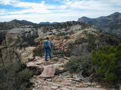
 We are about to turn the corner and head to C. |
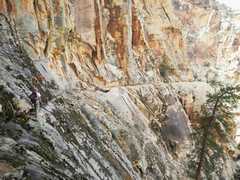 View of Jim as he crosses near C, in Graffiti Canyon. |
 |
 |
 |
 |
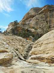
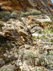
 This very steep crack heads down below the ledges of the Graffiti traverse. |
 |
 |
 |