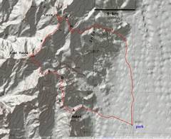
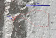
 Map for the Lost Yucca- Yucca BM loop. The letters are mentioned in figure captions. Route was clockwise. |
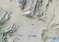 Zoom out for context. |
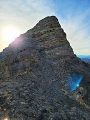
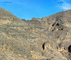
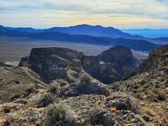
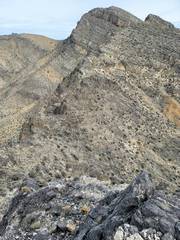
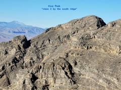
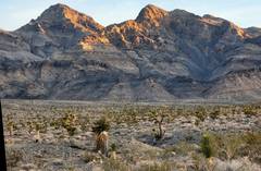 First Peak to north of Mormon Wells Rd. |
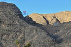
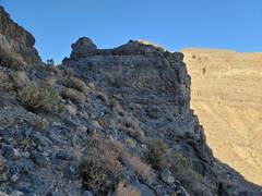
 Near A, north of Naked, heading to saddle. |
 View south to Naked, from saddle. |
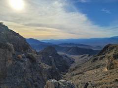
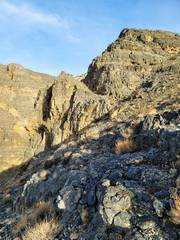 View north from before B; we will stay on left side. |
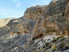
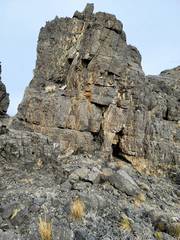
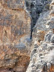
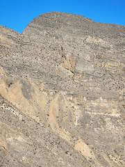
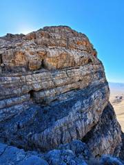
 View north near B. Shallow caves in light gray limestone. |
 |
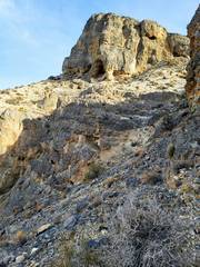
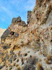
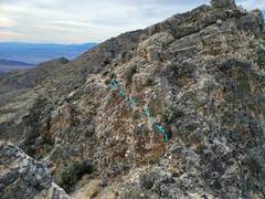
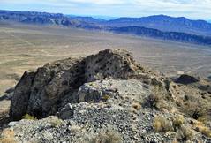
 View north near C. Climb onto the higher ledge. |
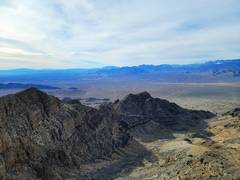
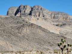
 Mt Potosi to south |
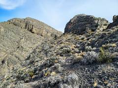
 Drop left and come back up other side. |
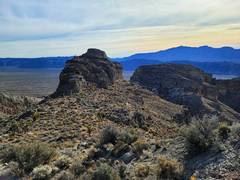
 View NW from D, the "battleship" rock described by Purcell. I went over it, but you can actually just walk left around it |
 Viewof F from E, the ridge connecting Lost Yucca and Yucca. It is hard to stay on the exact ridge. |
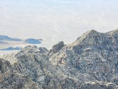
 View south. |
 The "Battleship" viewed ESE from near E. |
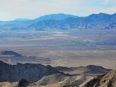
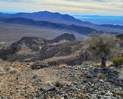
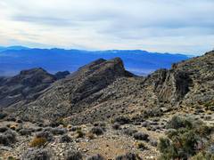
 View SE to Gass Peak, from near E. |
 View SE to Gass Peak, from near E. |
 View south over First Peak (right) |
 Zoom in on previous photo to gendarme on South Ridge Route to First Peak. |
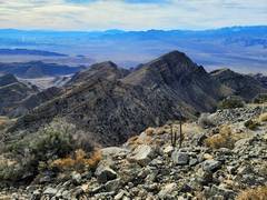
 Gass Pk from top of Lost Yucca |
 |
 |
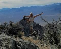
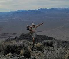 Summit Lost Yucca, sports bra added for modesty. |
 View of Yucca BM to north. |
 Looking down at F, rough saddle. Yucca BM in back. |
 Staying on ridge, vs. dropping 100' east, entails sketchy climbing or circumnavigation. |
 View south, a very sketchy traverse. |
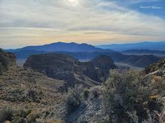
 Ahead is point 6778 on map; one can go over the top. |
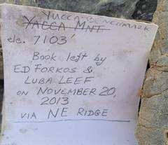
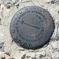
 Top of Yucca BM, view SW over Lost Yucca. |
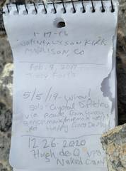
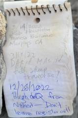
 The last person (probably didn't sign in, pencil was broken) just left the register out like this. When I was here 17 yrs ago, there was a MacLeod-Lilley register |
 |
 |
 |
 View south, sports bra drawn in for modesty. |
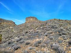
 View SW from G, view of shiny aerial tow target we visited in 2005. |
 View SE from H. You can just go around this lump on right. |
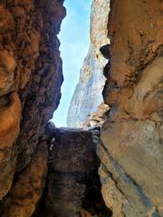
 View west from I. I stayed on north side of this canyon; it looks inviting from above, but quickly becomes choked with brush and ends up... |
 ...in this overhanging dryfall, at least 50' drop |
 OK, when I started the same trip 3 days prior, and hit a navigation ambiguity... |
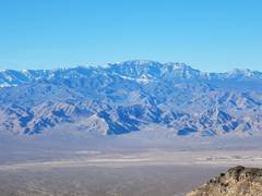
 Here is Naked as seen from south, off Mormon Wells Rd. |
 I went up Naked by this ridge, probably harder than it had to be. |
 On summit Naked. View of Mummy to south. |
 View of Lost Yucca to NW. |
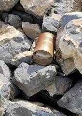
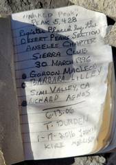 Last visitor in 2020 left glass bottle register out in sun, so the paper is now pretty cooked. |
 View of First Peak from Naked. |
 I came down 200' from the summit of Naked, where the guidebook told me to head west under the cliffs of Naked, and head to saddle. Alas, it should be 300- 400' below summit. This saddle (shown) is a dead end. |
 Naked as viewed from peaklet in previous photo. |
|