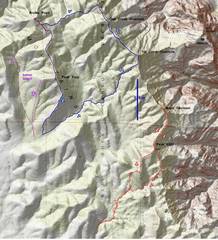
 For both hikes, I started at the end of the 4x4 roads just after sunrise, at 47F. The magenta route is my guess for a better route to the western peaks. |
 The map of First Creek Overlook shows it probably has ~194+/-10' prominence... |
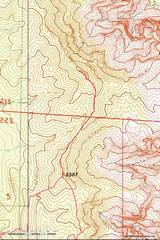 ...whereas Major Decision and 6587 probably have > 200' prominence |
 zoom out for context. |
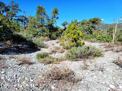
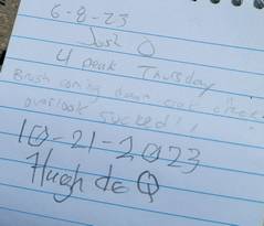
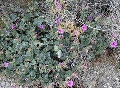 After starting the blue route on Oct 21, I came across desert 4 o'clocks. |
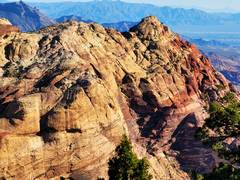
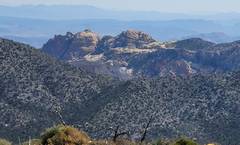
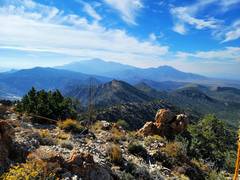
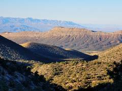 View SW over Mesa BM to Kingston Range in left back. |
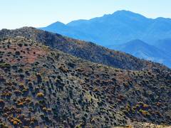
 View NE over Damsel (L) and Calico |
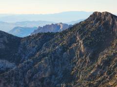
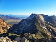
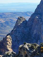
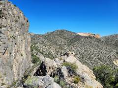
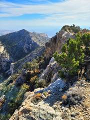
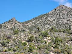
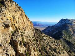 Saddle between Wilson (R) and First Creek Overlook (L). |
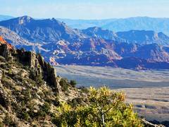
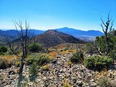
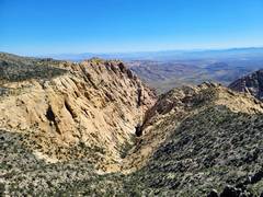
 View SE down First Creek |
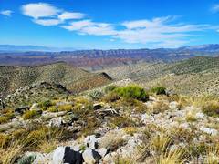
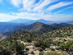
 View ~SSE over Monument |
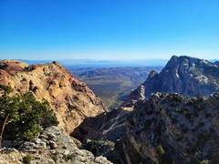
 View S from 1st Cr Overlook |
 Rainbows from 1st Cr Overlook |
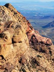
 Wilson from 1st Cr Overlook |
 |
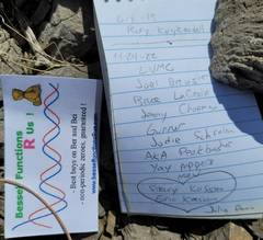
 I guided the group at the bottom |
 |
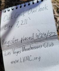
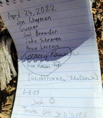
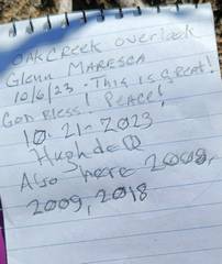
 Rainbow Peak as I head up Oak Cr Overlook |
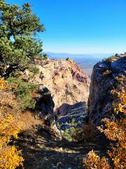
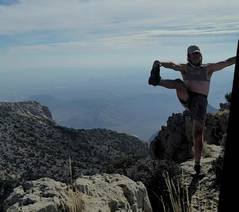
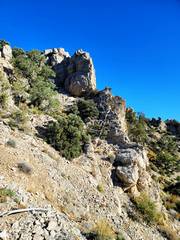 I opted to stay near the edge to be sporting |
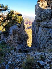
 Sporting route |
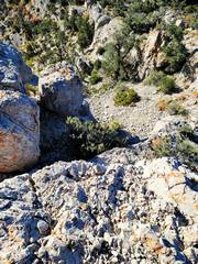 Down from sporting route |
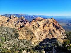 Bridge (L) and Rainbows (R) from Oak Cr Overlook |
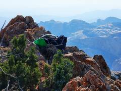
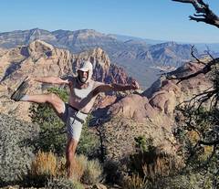 sports bra for modesty |
 |
 |
 |
 |
 |
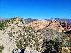 Bridge at R |
 |
 Cactus Flower Tower |
 |
 Profile Point, mighty next goal |
 Agave roasting pit in middle of nowhere |
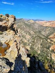
 Higher Peaks to N, from Profile Point. I called one on R "Pepper Peak" in 2005. |
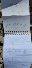
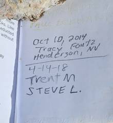 Kevin Humes faded sig at top. |
 |
 Now we head S to Peak Four. |
 Peak Four, Potosi in back R |
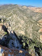
 View ~WSW |
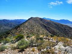 Peak Four |
 |
 |
 |
 Monument from Peak Four |
 Potosi and Pa's Rump to SSW |
 Back at bland side Oak Cr Overlook. CP and I once came over that center rock. |
 Horse BM to W. |
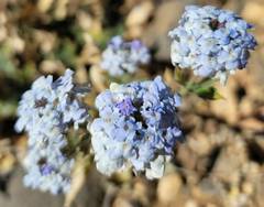 Verbena |
 |
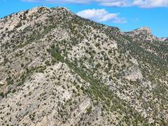
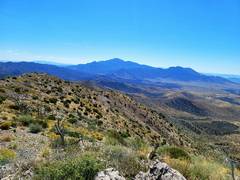
 Now to Oct 26, red route. View NNE from below Peak 6587. |
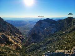
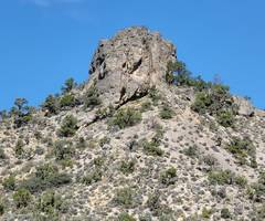
 Indecision Pk from 6587. |
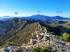
 Near Major Decision, View NNE. |
 |
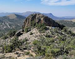
 Indecision Pt SE of Major Decision. |
 View of Potosi to S, 6587 in middle distance |
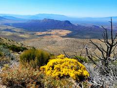
 Monument and Hidden to SSE |
 Sports bra for modesty |
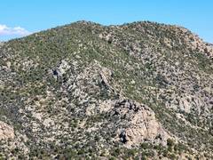
 6587 in middle distance |
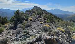 Coming down SSE of 6587, View S to a highpoint on ridge |
 Little nubble to W, I went up by arrow |
 nubble from S |
 View of two little peaks from S, nearer Rainbow Springs trail |
|