 Today I went clockwise |
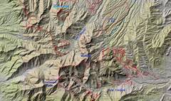 Context |
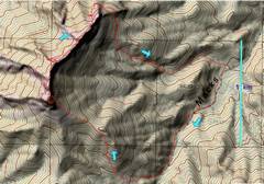
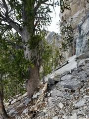
 Heading WNW to S Macks. There is loose gully behind the diagonal ledge of trees. |
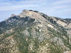
 View to N Macks, from below summit of S Macks |
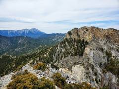
 McFarland to WSW |
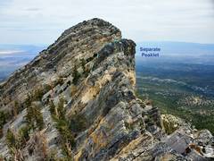
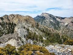
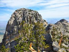 3rd Peaklet as one heads N from S Macks |
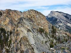
 The last lump (middle) before one heads W to find cut through cliffs |
 I saw 2 people, the Harts, on N Macks but never caught up to them.. |
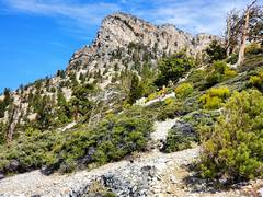
 Now I've broken through the cliff, band and follow a shelf ESE, soon I will cut L... |
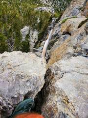
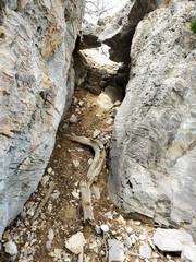 ...and descend this chute, and again walk a short ways and descend to lower cliff band. There was an old handline at descent point (which I did not use) |
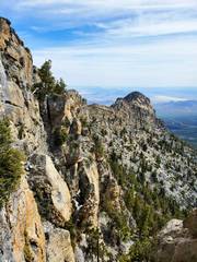
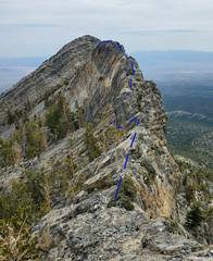 View NE, my route. I picked a slightly harder but more competent rock and ascended the 1st ridge pinnacle on the L (BW recommends R, light blue) |
 This is peaklet at top of dark blue line in previous photo. I didn't read the HLV instructions before I went. |
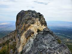
 This peaklet was not visible in previous route photo. BW instructs a climb-off to L before this pinnacle. Not knowing any better, I climbed over it. (N Macks is behind pinnacle, and has one loose class 4.) |
 Now I'm on that last pinnacle, looking SW. There is a sort-of easy climb-off to N of last pinnacle, then I climbed up class 4 gully of N Macks. |
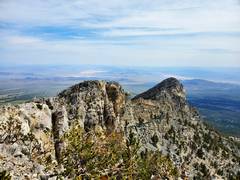
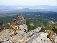
 Now I'm on N Macks, view to Charleston (L) and S Macks (R) |
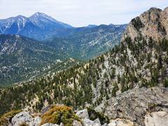 |
 McFarland in distance |
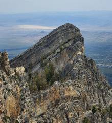
 Heading down NE from N Macks summit, I'll go over very steep slabs and turn L just before little peaklet. |
 This shortcut was not good. |
||