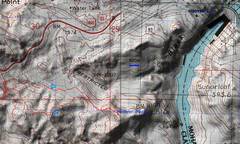
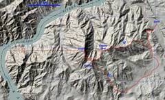
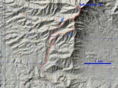
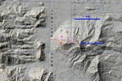
 Hike map for Hoover. It was projected to be 75F by PM, with clouds in the morning, so I got down and left early. |
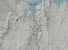
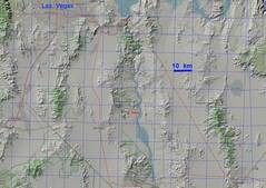
 zoomed-out map for context. TH is same for Goldstrike Hot Spr. |
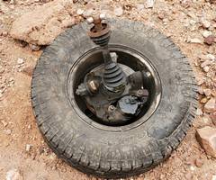 This tire has sidewall damage, should be checked. |
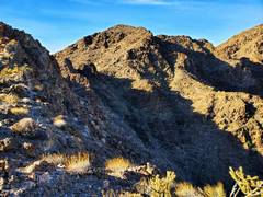
 When one sees the canyon wall steepen at R, start to look L for a route onto ridge with powerlines. It's a steep, loose climb out of the canyon. |
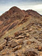
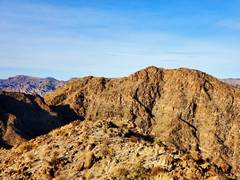
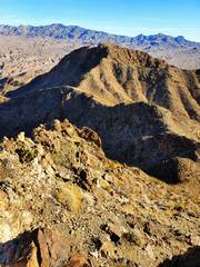
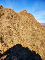
 View of Hoover Pk. from ridge to W, which is almost as high! |
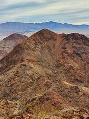
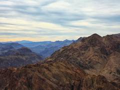
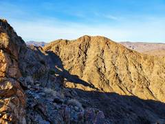
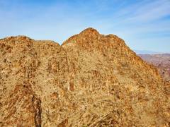
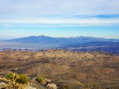
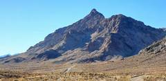
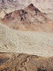
 View E to Hoover, Mt. Wilson AZ in back. |
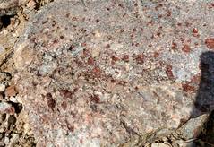
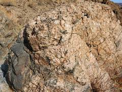
 Feldspar-rich pegmatite in andesites |
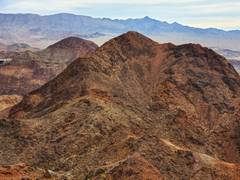
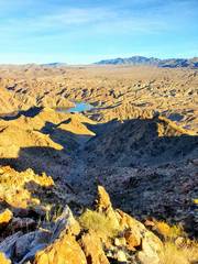
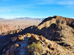
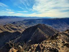
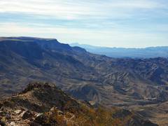
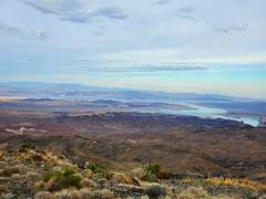
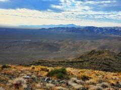
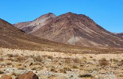
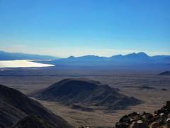
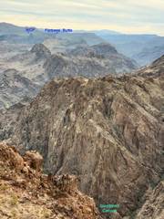 View ~SE across Goldstrike canyon, to Fortress Butte and White Rock Canyon Peak in AZ |
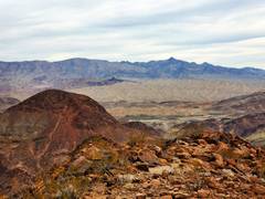
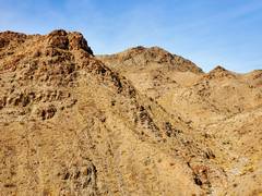
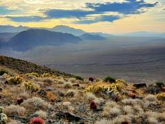
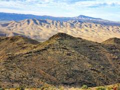
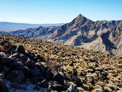
 Some interesting peaks to S. About this time the clouds started to disipate and suddenly it felt warm. |
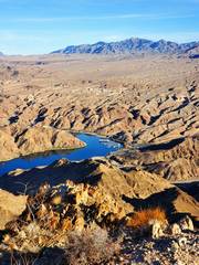
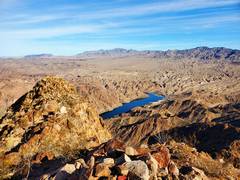
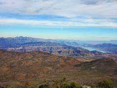
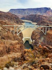 View of Hoover Dam from peak, behind "new" i-11 bridge. |
 |
 View N over "Rough BM," also known as "Preparation H Hill." |
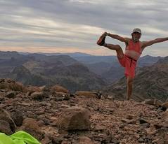 Sports bra drawn in for modesty. |
 Laszlo likes this hike. |
 |
 Heading down from peak. There is an old use trail, no cairns, on NW side. |
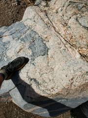
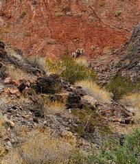 This is gully where people occasionally tear a hole in the fence. The fence has been fixed; bighorn is on the other side of fence. |
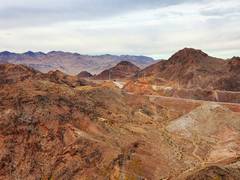
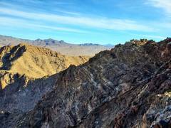
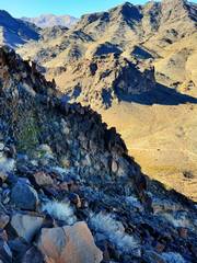
 Down S from ridge. I went a bit too far W before I descended back into Goldstrike Canyon. |
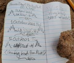
 I got a very early start the Willow Beach Pk (WBP) ridge. This is not the shortest route, but I like ridges and this minimized dusty driving. Sarada Devi (SD) has ~300' prominence, "Kenny" ~200' (from interp. of countour lines). |
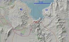
 zoomed-out map for context |
 View N to Willow Beach, starting up the ridge. |
 WBP to W |
 Marina from SD |
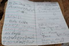
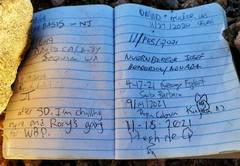
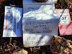
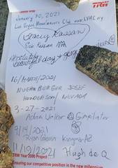
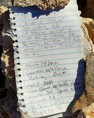
 The register on SD had pens, and they were almost dry. PLEASE use pencils for registers! |
 WBP from way to Kenny. |
 Kenny on way up ridge |
 |
 SD from Kenny |
 |
 WBP from Kenny |
 |
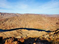
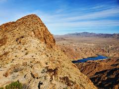
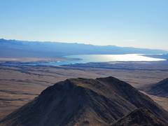
 N to Colorado R from WBP. |
 View back SE over Kenny |
 Colorado R to WNW |
 |
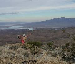
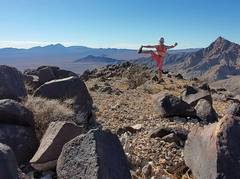
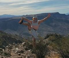 SE to Malpais Mesa. Sports bra drawn in for modesty. |
 Spirit Mt. on R side Malpais Mesa |
 View N past WBP as I descend |
 |
 Garnets in high- grade metamorphics |
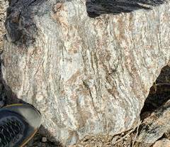
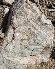 Gneiss wirh granitoid migmatite band. |
 View ~W to WBP. I almost came down over cliffs at L. |
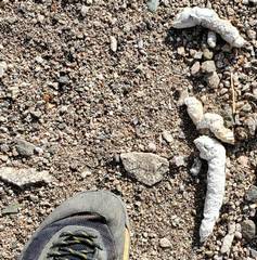 cat turds, possibly |
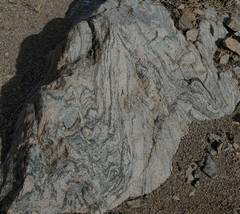 Gneiss! |
 Stope block of dark gray metamorphics in granitoids |
 Garnets in gneiss |
 Stope block at L, coarse-grained granitoids (pink) |
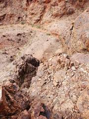
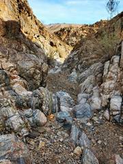 Where I entered and left gully at start and end of hike. |
 I camped at the base of Salt Spring Mt. that afternoon. The long drive through Dolan Springs took me past a failed housing development and acres of nut trees. Only the last 5 miles of road were slightly rough. |
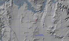 I've zoomed-out the map for context. |
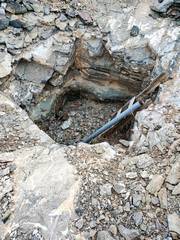 Prospect pit on way up. I later turned the pipe flat to protect birds. |
 |
 View NE; Bonelli at far L, Jumbo to R of Bonelli |
 SE over ?Garnet? Mt. |
 N, Temple Bar "temple" at R |
 NE |
 Hualapai Mts. to S. |
 Bonelli and Jumbo to NE |
 |
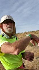
 I slipped on schist talus and hit my elbow on a rock. This huge hematoma immediately formed. |
 |
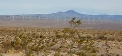 New windfarm SE of Temple Bar-- rte 93 junction |
 Hike to Salt n' Pepa Mountain. |
 Zoomed out for context |
 On good gravel Rd., Salt n' Pepa is the highpoint. |
 Copper Mt to SW from parking spot. Copper is actually nearly class 2 from the S. |
 Copper viewed near top of Salt n' Pepa |
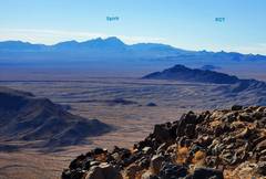 Familiar peaks to ~SE, RDT is Real Devil's Thumb. |
 Lake Mojave and Spirit to S |
 |
 |
 |
 Dupont. I wish I'd gone, but the intense winds gave me pause |
 I came down under cliffs |
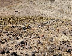 Jumping cholla forest between me and car. |