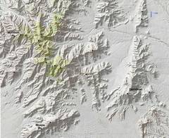
 The various Mormon peaks I've visited, shown as black dots; the peaks in this TR also have red diamonds. |
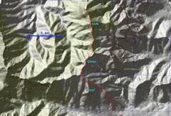 On May 24, we went to 6921. |
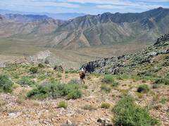
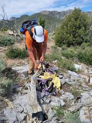 There was a faint animal trail much of the way, and an abandoned camp with rotting nylon tent, light synthetic bag, LED flashlight, and one sock that was turned inside-out. |
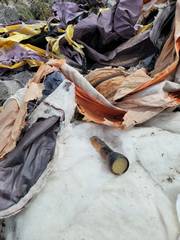 We're quessing someone abandoned some equipment after a cold or wet night. |
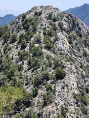
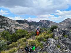
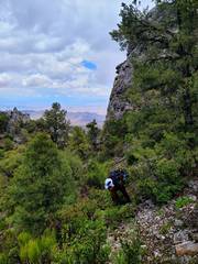
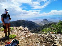
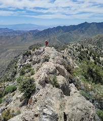 Tracy walks up a thin ridge on S side of southern peak. This the nicer summit. View south. |
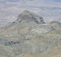
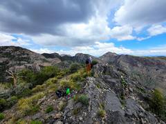
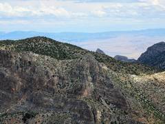
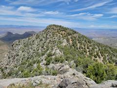 View N to 6921. |
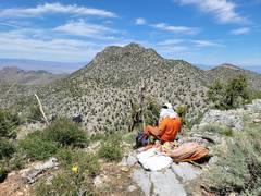
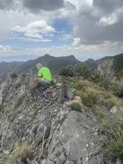
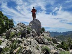 Tracy on 6921. |
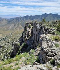
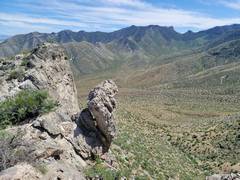
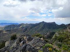
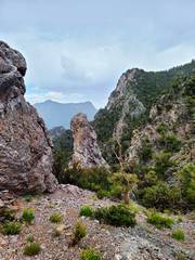
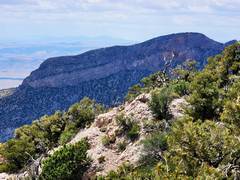
 Some sharp peaklets to E |
 |
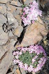 Phlox near summit. |
 Crossing back to southern peak. |
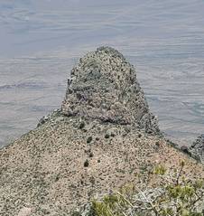
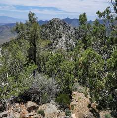
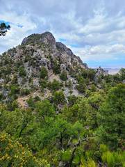
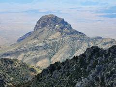
 Zoom to southern peak. |
 View back N at 6921, by abandoned camp. |
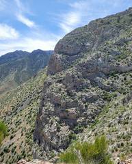
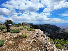
 We walked along cliffs |
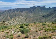 ID of peaks to south. |
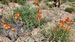 Globe Mallows |
 Tracy head SE |
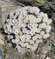 Mojave Asters |
 Map "oops" was when I almost took us down that ridge. Tracy caught the mistake! |
 |
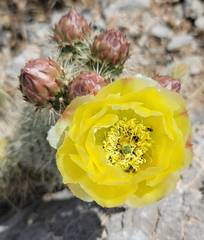 Prickly Pear |
 Our descent took us over a short class 3 |
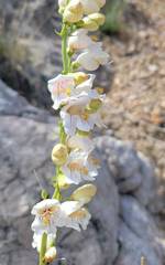 Palmer Penstemons |
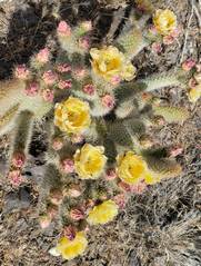 More Prickly Pear |
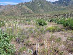 |
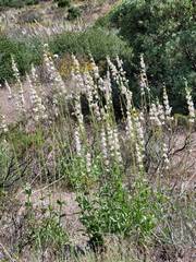 Fields of Palmer Penstemons |
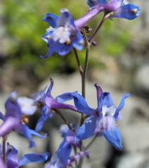 Larkspur |
 On June 12, we set out to explore a "cave" then took "new" routes up 2 peaks. |
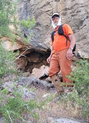
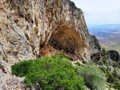
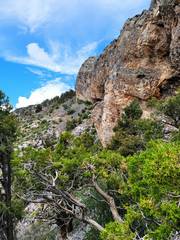 Approaching cave from east |
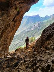 Peak 6966 in back of Tracy. Sheep poop but no artifacts! |
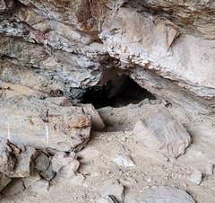 There were a few small holes with dripstone in back, but they would be miserable to dig out. |
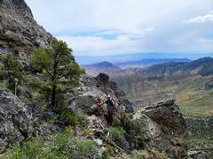
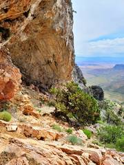 View W as Tracy walks up from cave. |
 |
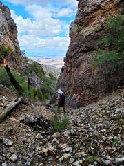
 We then turned a corner up a talus chute with some class 3 |
 further up miserable talus. Two years before, I took the class 3 ridge to the N. |
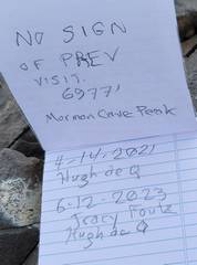 register. I had a slight error in elevation. |
 View NW from 6975. Rain and hail start. |
 Peak IDs |
 S to 7088 and 6966 |
 Tracy's pic of me as precipitation becomes more intense |
 |
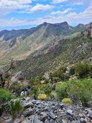
 Now we're almost at low point to S of 6975. Precip. has lessened. |
 View back at 6975 to N. On R side is talus chute we took up; on L is cliff we skirted for descent. |
 Tracy starts up a fairly open ridge, with some class 3, to 7378. |
 Top of 7378, Dome to SW. |
 CP and I went up Dome in 2015; there was a class 2+ chute network starting on R (N) side. |
 Mormon Peak. |
 |
 Descent E, finally at end of miserable upper gully (brush, trees and downed logs). |
|||