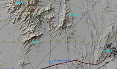
 This map gives some context. The area is NE of Las Vegas. |
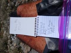
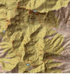 A closer view. 7201 barely has 200' prominence, but sure feels like a peak (or PITA) |
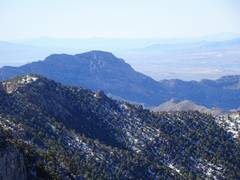
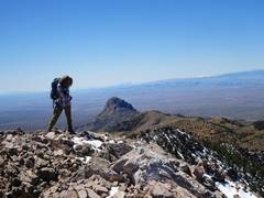
 Here's my view east in 2014, from the 7414' Mormon Peak. For the 4/13/19 trip we approached from the other side, off the Carp-Elgin Rd. |
 Ani's pic back (the car is at R) as we start the ascent. It was 36F an hour before |
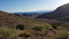
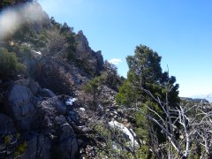
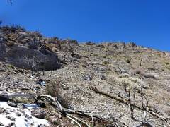
 Heading W, trying to keep above the wash. Our aim is to go through the left-most notch. |
 View S. We got tired of the thick brush in the wash, and headed up. |
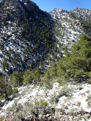
 The snow was crunchy early in the day |
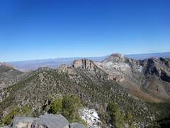
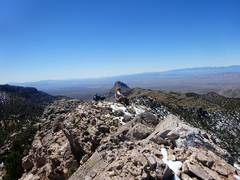
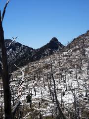
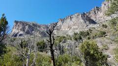
 View of the snowy Spring Mts in distance. In forground is "the Dome" where I saw signatures from Luba Leef and Ed Forkos. |
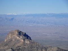
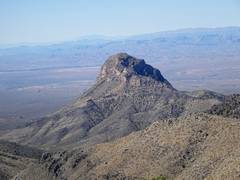
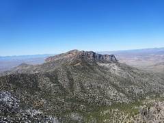
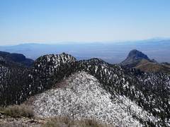
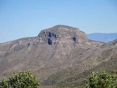
 Side view of Moapa Peak |
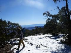
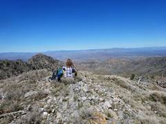
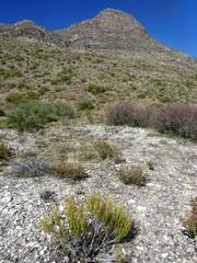
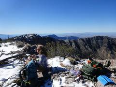 On top of 7378, view S |
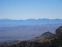
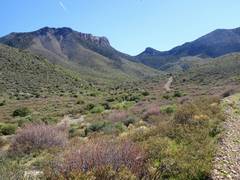
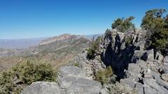 View NW to Mormon Peak, typical ridge terrain |
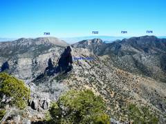
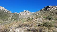
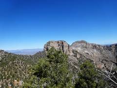
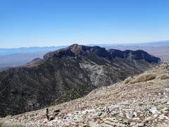
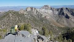 L to R, 7201, 7222, and 7365 |
 |
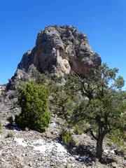
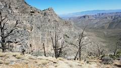
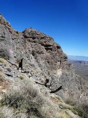
 Coming off the W side of 7201.I never got a summit photo, but spire in back gives an idea of terrain. No walkoff, and not safe. |
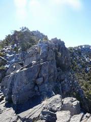 So we went to L side, then R, then L... to get down |
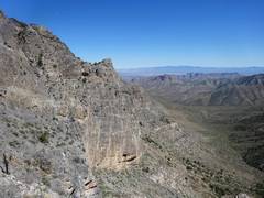
 7222 and 7365 ahead |
 The Dome again |
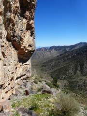
 Passing below 7222. I spent some energy trying to find a way up one gully, only to be turned back at crumbly class 5 |
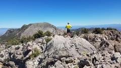
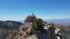 Finally! Anji's pic of me on 7222 summit block |
 Anji makes final steps |
 Anji on 7222 |
 Anji's pic of me on 7222, contemplating 7365 (L) and descent ridge (R) |
 View back W at Mormon |
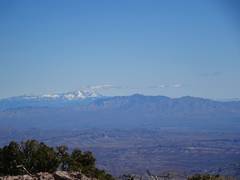 Signal Peaks, Utah |
 |
 View back at 7201 as we cross to 7365. Google Earth makes everything look so soft and fluffy! |
 View of the ridge E of 7365; we would start a bit too early on our descent |
 On 7365 |
 Mormon to W of 7365 |
 A view back at our route |
 Anji on 7365, view N |
 Ram Mts to W |
 Coming off SE side of 7365 |
 We thought we saw a good line, but hit lots of cliffs and a 50' dryfall. We actually descended at least 0.5 miles short of the route we picked. |
 I'm right above the dryfall. That cliff is several hundred feet high |
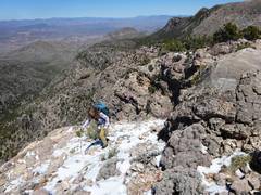
 Anji makes one of many zigzag routes to avoid cliff bands |
 We were finally able to hug the base of cliff 2 photos back. |
 Anji's view back UP at our route down. |
 The W side of 5804. There may be a weakness middle of photo near the bottom. |
 Agave roasting pit |
 Our car! |
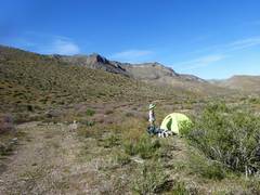 Tired, we pack up. Many, many thanks to Anji for driving most of the way. |
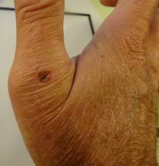 This was one of the oddest injuries I've had while hiking A pine branch, diameter of scar, got lodged in the back of my thumb and broke off to about 1" length. I couldn't pull it out with my fingers, but was finally able to pull it out with my teeth. I cleaned it with snow and quickly bandaged the wound. |
||