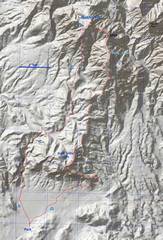
 Overview of the route. Parking is the same as southern approach to Muddy. A sturdy 7" clearance vehicle can make it with CAREFUL DRIVING. |
 Close-up of traverse, with some features mentioned below. The traverse can be made largely class 2. |
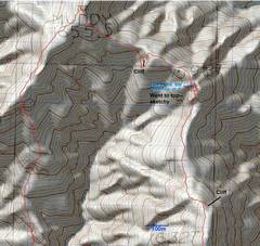
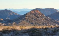
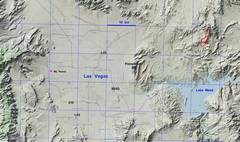 Zoom out for context. |
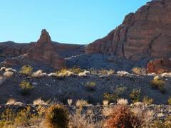
 View N toward Gale Hills, with fine-grained Tertiary sandstone. |
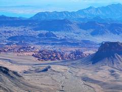
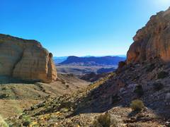 South Gate as seen through sandstone bluffs |
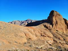 Bluff is a bit lower than Gale Hills high point. |
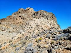
 View N to 5354; I'll go up right ridge. From Gale Hills high point (GHHP). The gray consists of Paleozoic dolostones. |
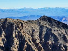
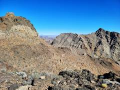
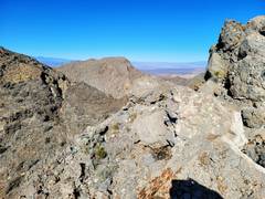
 View of Harris (L) to Mummy (R) from GHHP |
 On the ridge E of 5354. |
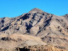
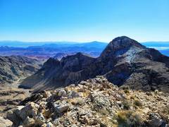
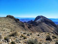
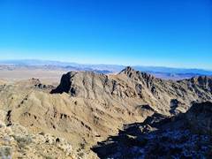
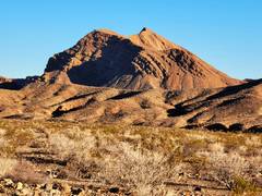
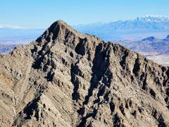 Muddy Peak as viewed from Peak 5354. |
 "Luxor Peak" as viewed from 5254. |
 Bowl of Fire as viewed from 5354. |
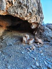 As you head NW off 5354, you may be tempted to take a N- trending gully. If so, head left near this cave, across the ridgeline; else you will come to cliffs at the base of the gully. |
 Peak 1598T (5243') is the lump at left; it has ~75' prominence relative to the N side, but sticks up ~250' above the S ridgeline. Muddy Peak in back at right, across a deep wash. |
 1598T. The highest point is the light gray in center; one can pass between the high point and the darker gray to left and in front, without climbing it. The highest lump is sketchy class 4 on R side, but looks like class 3 on side facing viewer (SW). |
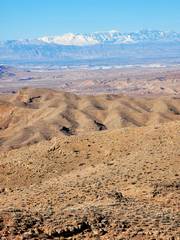
 View of 5354 and Lovell Canyon from 1598T. |
 If one stays on the ridge, ~250m past 1598T one hits a serious cliff, but a sharp L (SSW) gets to a cut. I had a 30 mph N wind at this point, which ceased as soon as I dropped. |
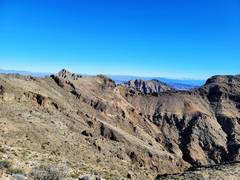
 View back ~SE to 1598T (L) and 5354 (R) |
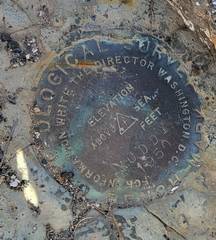 Benchmark on MHP. |
 View E to Muddy Peak |
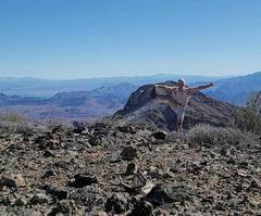 Sports bra drawn in for modesty. It was below freezing, with a stiff wind. |
 |
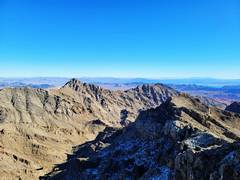
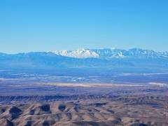 Harris (L) through Mummy (R) from top of MHP. |
 View E as I descend SW off top of MHP. Labels on full-size image. |
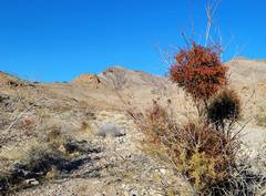 View back at MHP, with mistletoe on catclaw. |
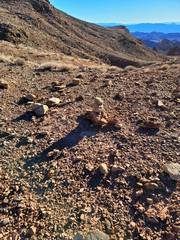 I found several cairns near the southern part of the descent. |
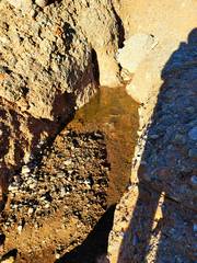 Lots of water in potholes; it rained recently. |
 erosion |
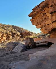
 leaving S end of cliffs. |
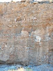 Layers of colluvium. |
 view S, almost back. |
 Endless Ridge. I went there in 2007. |
|