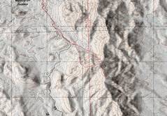
 Here's the basic topo map; it looks like we stopped short of the highpoint! Well, I had this position confirmed with two GPS units reading to +/- 10'. The purported conical highpoint did not exist.... |
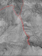 ...and here's why the USGS was wrong. This is the composite aerial photo as used for photogrammetry; the east side of the peak is bound by cliffs with deep shadows, a notorious bane for photogrammetry. |
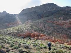
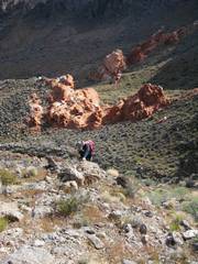
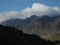
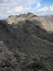
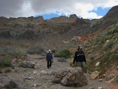
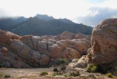 OK, back to the trip. We walked up the road toward HIdden Valley for quite a while, then kept going SE toward the peaks. The clouds were washing over the ridge, which was quite cool-looking. |
 |
 |
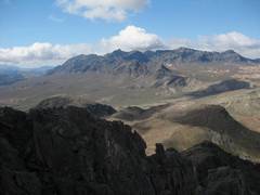
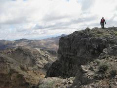
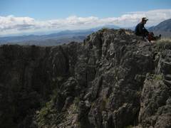
 View back NW. |
 |
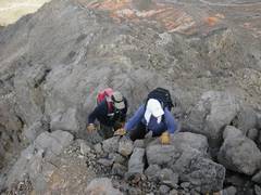
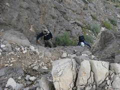
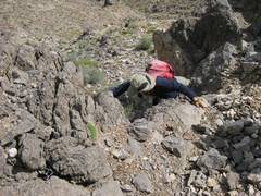
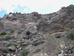
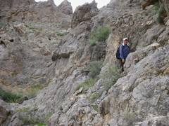
 DB handles some unnecessary roughness. |
 View S to Muddy Peak. |
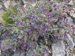 Sage. |
 |
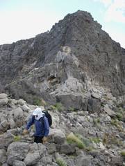
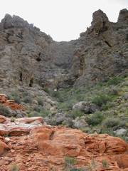
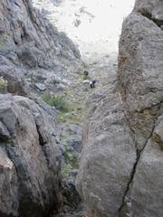 We went up a cool canyon. |
 |
 |
 |
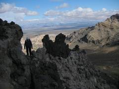
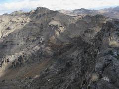 View to N along ridge; we intended to go there next, but were chased off by storms. |
 |
 |
 |
 view N. |
 The map puts a conical hill behind CP, another 20 meters or so higher. That highpoint doesn't exist. |
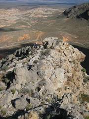
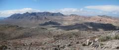 View S to the higher Muddy Mts. |
 |
 |
 Again, the next intended goal to N. When we got to the saddle, we saw a storm front with thick clouds and lightning a few miles off, so we descended... |
 |
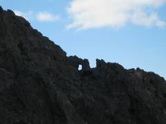
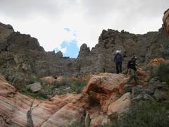
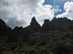 Neat limestone hoodoos... |
 |
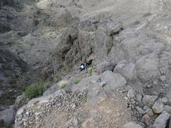
 Oops, we hit a 30' dryfall, so we took a bypass... |
 |
 |
 |
 Beavertail. |
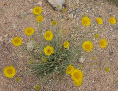 Desert marigolds. |
||