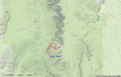
 General location map. N Potosi is roughly W of Las Vegas, NV |
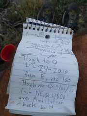
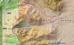 Blue is the track for April 24, red is for May 14 |
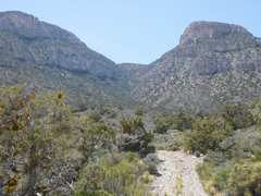
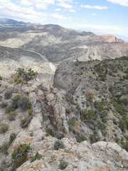
 Heading S to ridge April 24; terrain is rough, but class 2+ |
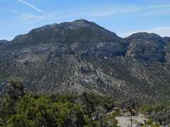
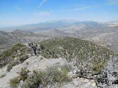
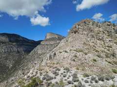
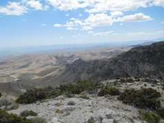
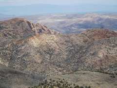
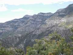
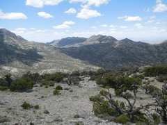
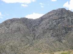
 View W on ridge; N Potosi at R in back |
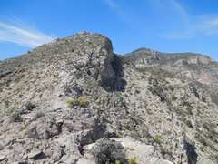
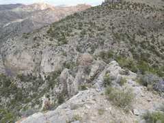
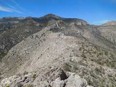 The ridge leads over several bumps |
 Parts of the ridge have knifey characteristics |
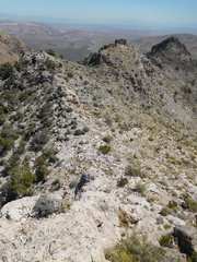 View back E over bumps I traversed |
 |
 |
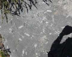 Lots of horn coral fossils |
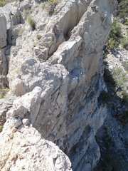
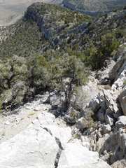 The last part of the route gets steep, and leads to class 3 that can usually be avoided |
 Pa's Rump to W |
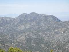
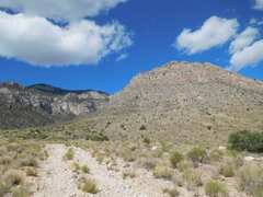
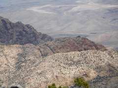
 Potosi to S |
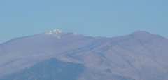 Little snow on Charleston in this dry year |
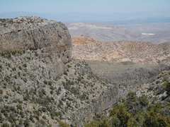
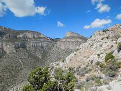
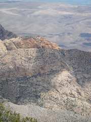
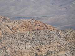 S edge of Red Rock Sandstone |
 |
 |
 Heading down to N |
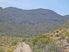
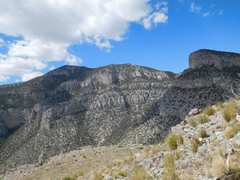
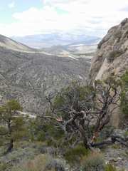
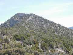 View back S at N Potosi. This part of route has some scrub. |
 About to head E through brushy, loose-rock canyon. Meditation Point to L. |
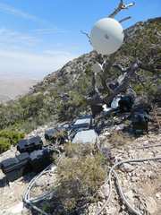
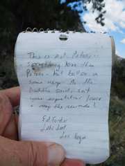
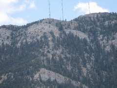
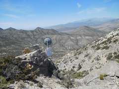 This is actually BSA land; I'm guessing this relay supplies cell phones. |
 |
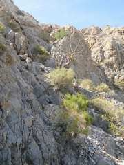
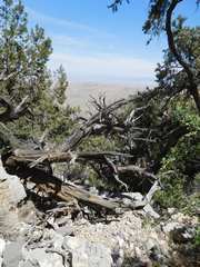 I enter the horrible canyon. |
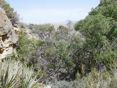 brush everywhere |
 |
 A last look back at N Potosi |
 View W, start of May 14 trip. I'll cut of the L side of hill at R. |
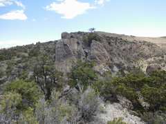
 Meditation Point in middle |
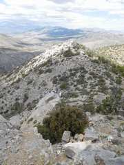
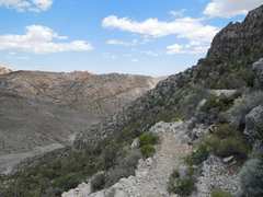
 View back E on benign ridge, class 2 |
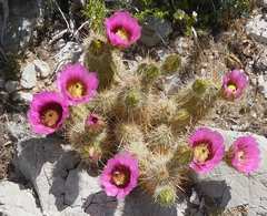 Strawberry hedgehog cactus |
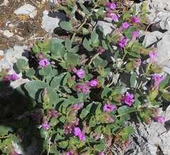 Desert 4'oclocks |
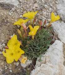
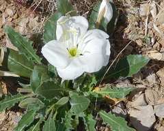 Evening Primrose |
 A bit higher, Meditation Point in middle |
 |
 I've just come over that lump, the only difficulty. Lose a few feet and bypass on W! |
 Cliffs ahead, on W side. Route heads L on quasi knife edge. |
 Quasi knife, class 2+ |
 |
 N Potosi is inconspicuous lump at L |
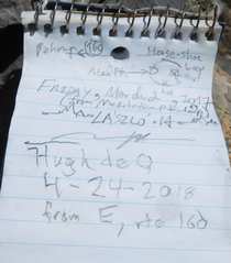
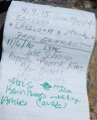
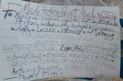
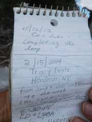
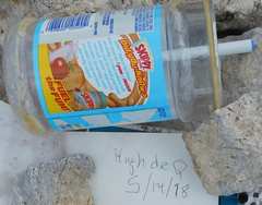 The resister jar on Meditation Pt still has peanut butter in it... smells rather bad. |
 View to Windy Pk (L) in Red Rock |
 |
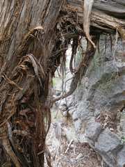
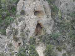 possible cave entrance |
 View S |
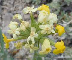
 Early Evening primrose (some call them suncups) |
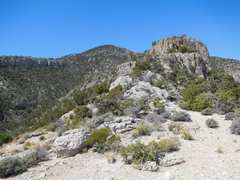
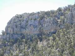
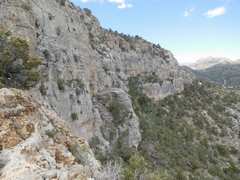
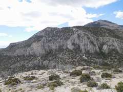
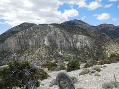
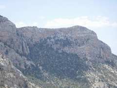
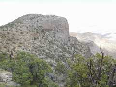
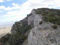 Cliffs bounding N Potosi |
 |
 |
 |
 The main Potosi |
 Hollow Rock Pk |
 I think Luba and I found a sketchy way up there, to L |
 Potosi, some routes on N side |
 |
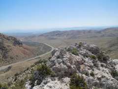
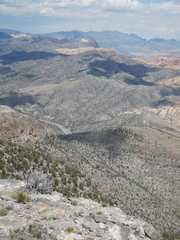 Rte 160 to N, Mount Wilson near-skyline Madre range on far skyline |
 Cryptanth |
 Pa's Rump to W |
 |
 Meditation Pt, more benign view |
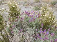
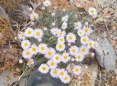 asters |
 About to cross the rough "edge" |
 Now I'm descending NW through a gap in cliffs |
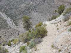 There is a nice pack trail much of way N. |
 |
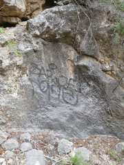
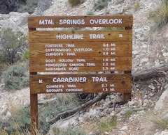 I believe BSA erected this sign on BLM land |
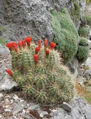 Claret Cup |
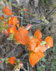 Globe mallow |
 Descent canyon was tight, but not too brushy |
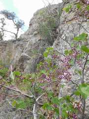 Redbud |
 Close to road! |
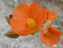 Globe Mallow |
 4x4 road is a bit too rough for some. |
 Sage |
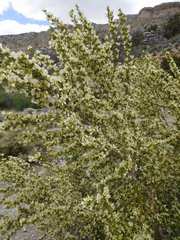 Cliffrose |
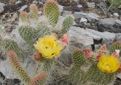 Prickly Pear |
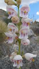 Palmer's penstemons |
 View back to N Potosi |
|