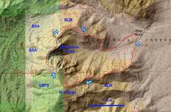
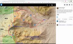
 My recent route. I parked on a very wide shoulder on the S side of the road. See comments on access in last frames |
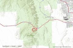 A zoom-out for context. |
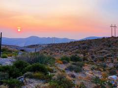 AQI was well above 100 when I started. |
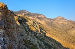
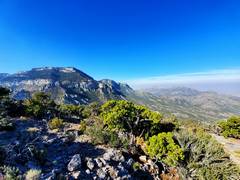
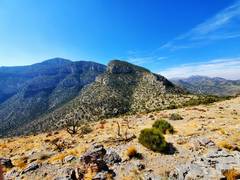
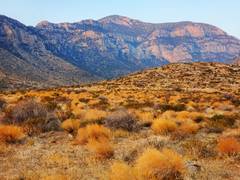 Early view WSW to N Potosi (also called "Buddha's Rest") |
 Mounting first ridge to S |
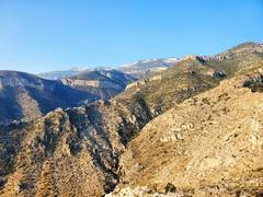 View ~SSW. These ridges were burned over decades ago. |
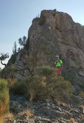
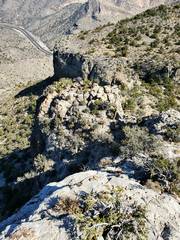
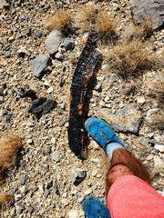
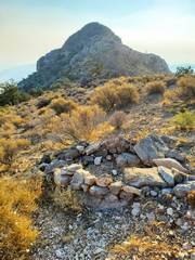 View E, old firepit and first on many lumps |
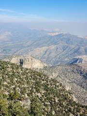
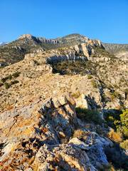 View ~W to N. Potosi; the ridges are quite rough |
 View ~E at unnecessary downclimb. |
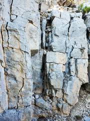 Unnecessary upclimb. I found 4 cairns which probably lead around these cliffs. |
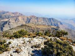
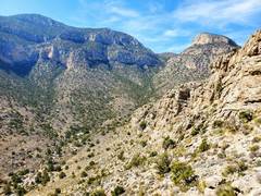
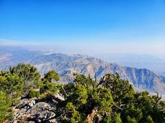 Top of N Potosi, view ~N over smoky sandstone peaks of Red Rock |
 |
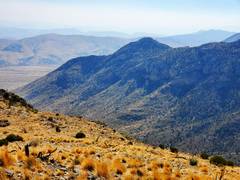
 View of big Mt Potosi to ~SW |
 Heading down. Meditation Pt below. Stay on the more open areas to L. |
 The dish at left likely provides cell service to BSA. Meditation Pt. at R. |
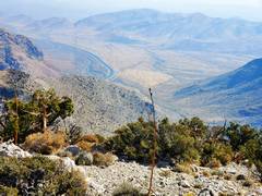 My car is down there somewhere. |
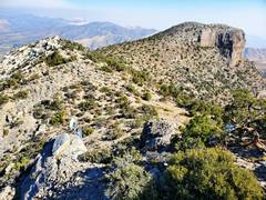
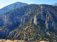 View ~ S to cliffs on N Potosi. |
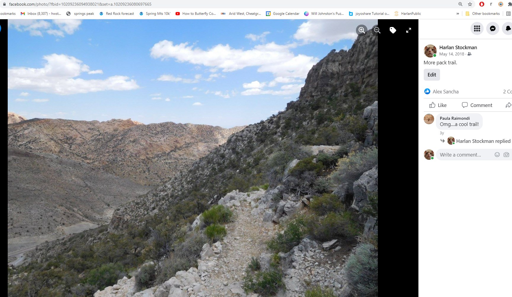
 Next lump we traverse on way back E. First, we must negotiate a ridgeline. Stay on more open areas at L. |
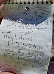
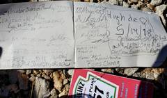
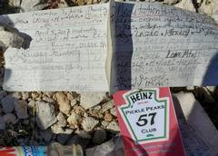 Register on Meditation Point needs work. |
 |
 3.5 years ago, I went L of that cliff. The ridge down from here is rough, but just class 2 with some exposure. |
 In my younger days I went directly over the top. Today I went L around base. |
 View back ~S at Meditation Pt (center) and N Potosi (L). |
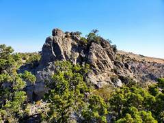
 First lump of the day. |
 Old burn on the last ridge |
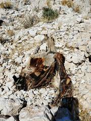 Juniper stump from fire break |
 View ~W, N Potosi at L. Meditation Pt at R. I once came down the ridiculously brushy valley between. |
 This the barrier one faces getting back to your car. This is a smooth 6' wall with a steel bar 1' above the top. I climbed it easily, but someone with less upper body strength might want to bring an etrier and hide it on the S side of wall. |
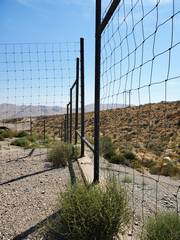 Here's the fence opening. The 6' drop is to R (S), my car is parked L (N). |
 3.5 years ago. Sometimes we forget. And forget again. |