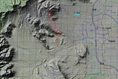
 It used to be easier access this range, but house construction has cut off the Brownstone right-of-way. UP route is discommended. |
 Context. |
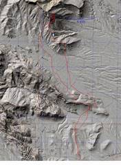
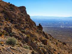
 Kraft Mt at L. I'm starting out on Gene's Trail; we have about 5.5 miles by foot to the destination, most cross-country without trails. PP= Pincushion Pinnacle. |
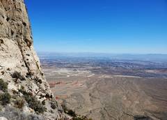
 Now I'm looking across Brownstone Basin |
 |
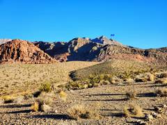
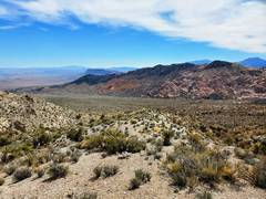
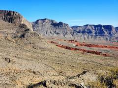 Little Red Rock through a window in the ridge. Gottlieb at center. |
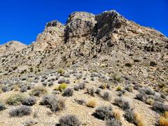
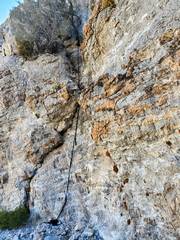
 The route I took up is discommended; lots of marginal cl 4 cliffs. |
 We go R of the cliffs |
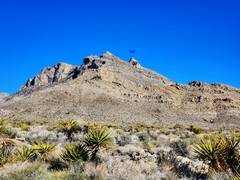
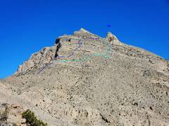
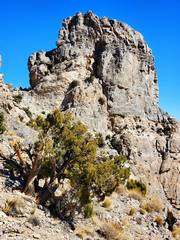 PP as seen from SW |
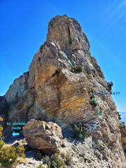 PP as seen from W. Dustin Wittmier referred to a 5.6- route, which may be as shown. Today I'll use the traditional. |
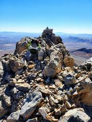 On top, view S |
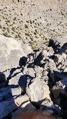 The chaotic terrain should never be worse than class 3 past crux. |
 |
 |
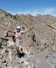 Sports Bra drawn in for modesty. I was injured and couldn't get full leg extension. |
 I rapped crux on 15mm webbing with Munter. DO NOT try to climb this while wearing a big pack; you need to push your back against the R side of chute for balance. For my 1st try with pack on, the straps caught and I peeled off and fell 8'. Hence my injury. I just went up again, trailing a rope, which I used to pull up the pack. |
 Descending east side of PP |
 Brownstone Basin to S |
 About now, I could have used a hang glider. |
||