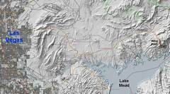
 Context. In a longer day, one could do the Hamblins. |
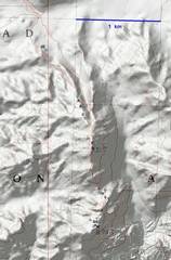 Most of the hike, and key for the photos, with photo locations and directions. |
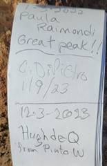
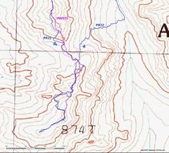 I didn't load a gps track before this trip, but after the fact I looked at the track from Paula R (PR22), which is essentially the track from Adam W. Mine (HWS23) is sometimes more direct, where I went down ledges to avoid talus. |
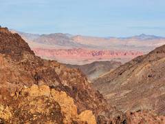
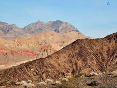 The first view to Muddy Mt. |
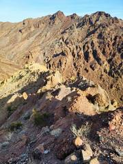
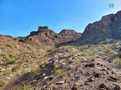
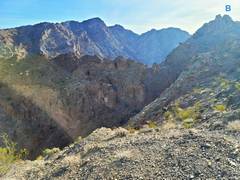 West Hamblin to L, view over eventual descent canyon |
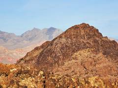
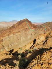
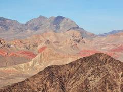
 Pinto W ahead |
 View to SSE from Pinto W |
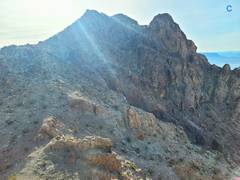
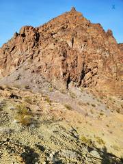
 West Hanblin to E |
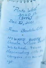 Howard Booth was quite well- know; he passed away from cancer in 2017, age 90. |
 |
 Now descending ridge S from Pinto West |
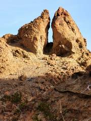
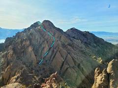 Over last false summit |
 |
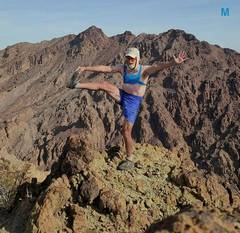 Hamblins from 2867. Sports bra added for modesty. Hip still an issue with stretches. |
 View NNE to Fire Cliffs from 2867. |
 Niew back N to Pinto W |
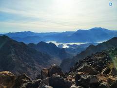
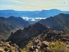
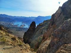
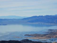 Calville Bay boat launch and L Mead |
 |
 |
 View down to Calville wash |
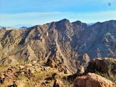
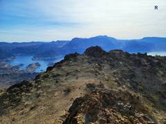 View from N summit nubble over to lump with register. Fortification Hill at R. |
 From 2867, view N back over Pinto W |
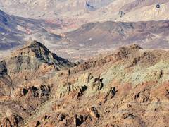
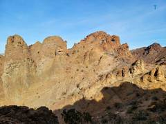 Terrain near low saddle between peaks |
 |
 View SE from same saddle |
 Hamblins |
 Palse summit of Pinto W ahead |
 Muddy N from Pinto W again |
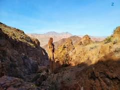 Descent canyon |
 View back on descent canyon |