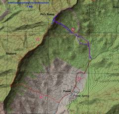
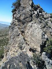
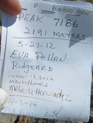
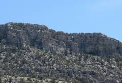
 Trips from 2005 (blue), 2014 (magenta) and 2020 (red). The way I take for ascent is direct but uses class 3 (SW side of last steep chute) to class 4 (NE side of chute) |
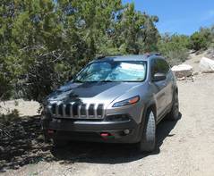
 Context. Take the Potosi Camp Road off rte 160, washboarded but fit for passenger cars with decent clearance. |
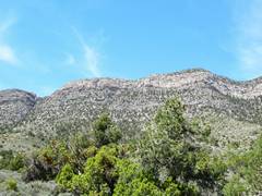
 There are basically three "easy" ways to break through the cliff bands. Middle route has a class 3 stretch, R route has class 2+. |
 If you take the middle route, stay L in the gully. |
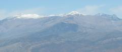
 La Madre at left distance, Windy and Hoolw Rock in middle. |
 |
 |
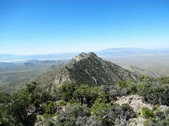
 Potosi to E |
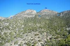
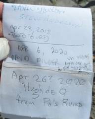
 Bluebird to S (view from S peak of Pa's Rump). |
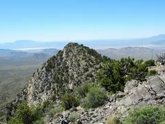
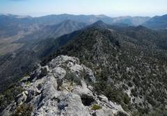
 View NE from south peaklet of Pa's Rump. |
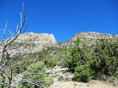
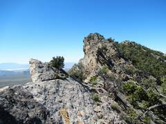
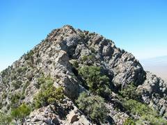
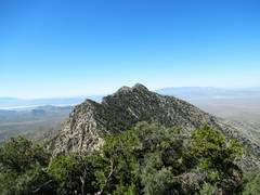 Getting closer to Bluebird |
 |
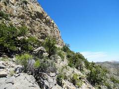
 It is a bit hard to walk on the very edge, but that path avoids the talus and brush on the W side |
 |
 |
 |
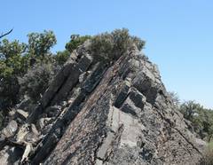
 The rock is so frictional, one can climb steep stuff (but beware of loose rock!) |
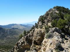
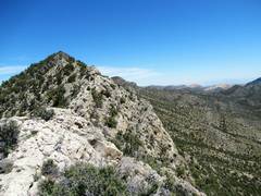
 View back NE |
 |
 |
 Bluebird again |
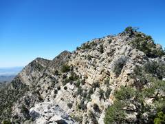
 N face of Bluebird looks OK, but I chose easy route along ledge on L (E) side |
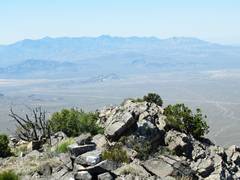 Kingston range, where I was a week back |
 Clark Mt at L on skyline |
 |
 |
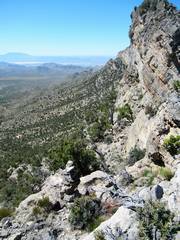
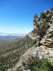
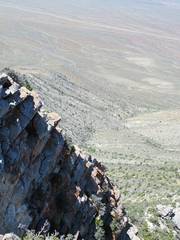 Steep drop to W |
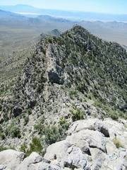
 View back N |
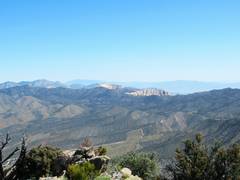
 Charleston L, Griffith mid, Mummy R |
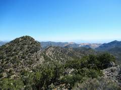
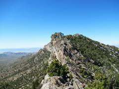
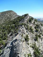
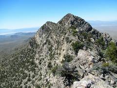
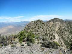
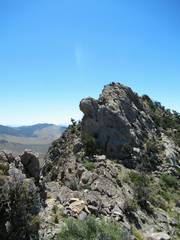
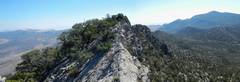
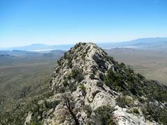 Ridgeline S of Bluebird |
 View back N |
 I chose to cut L here to descend; should have gone another 0.5 mile S |
 |
 After cutting E, I had to cut N to avoid cliffs below. |
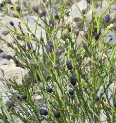
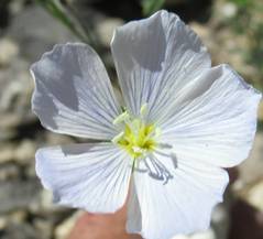 Flax |
 Fremont phacelia |
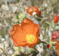 Globe Mallow |
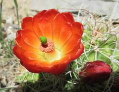 Claret cup |
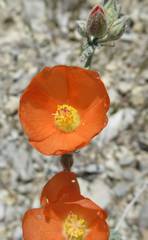 globe mallow |
 turpentine broom |
 I came down the break at L |
 windows on Potosi |
 |
 From 2014: View NE from Pa's Rump shows a crease on E side where one can descend |
 Another view NE, with crease on E side |