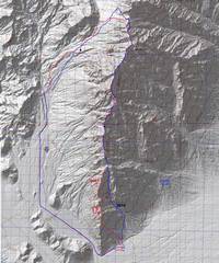
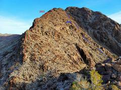
 The blue route is for 2010, the red for 2023 solo. The "new" part of the red route is mainly slow, depending on how one sticks to the exact ridge. |
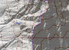 This close-up near the crux shows how much the 2010 and 2023 routes diverged. My newer gps is dual-frequency, and is less affected by wall reflection errors. |
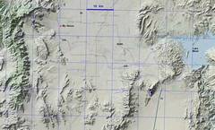 zoom out for context |
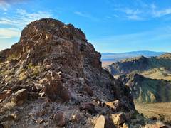
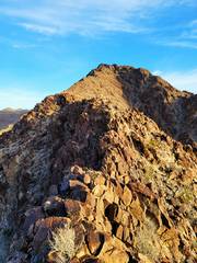 Typical lower route in 2023. I won't rejoin the 2010 route till top of shadow in distance. |
 turned around 180 degrees, lower route. |
 |
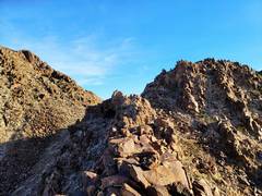 the 2010 and 2023 routes meet at saddle |
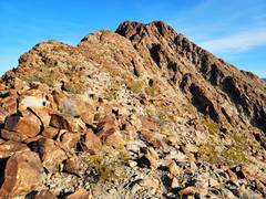 Now on 2010 route |
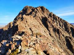 Railroad Peak NOT visible yet. |
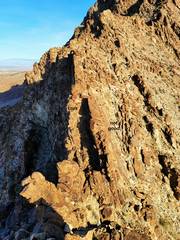 The crux. What looks plausible to right, is actually made of very steep, slippery slabs. To reach crux, descend steep gully ahead at R, then climb left over wall into shadows at base. |
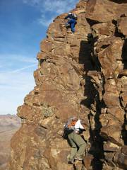 The crux as seen in 2010. There are actually no hard moves, but the exposure makes one cautious. |
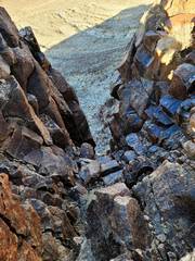 View NW and down at base of crux. |
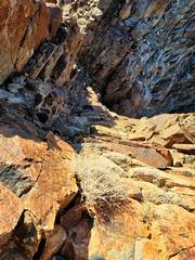 View down (and S) from top of crux |
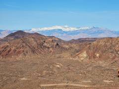 Charleston Pk in distance |
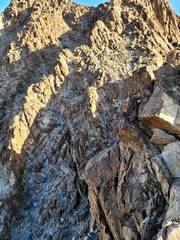 View N ~30m past crux. |
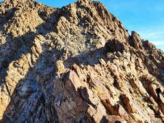 I walked across that serated edge, but came to a dead end; smarter move is to skirt it on R |
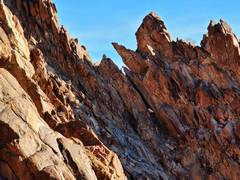 |
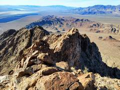 View back to S |
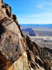 The rock is often very steep, but usually one can find breaks. |
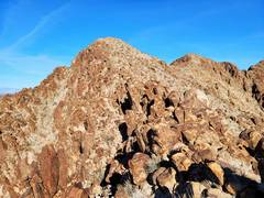 We came up about 20m to L in 2010. The ridge is pretty mellow until the N side of peak 4040+. |
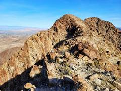 4040+ at L, Railroad Pk at R. |
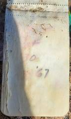 The register on 4040 is very fragile, and dates back to 1967. |
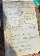
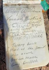 Vernon Bostick was just shy of 100 when he passed away in 2013. |
 |
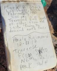 |
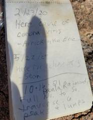 |
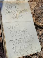 |
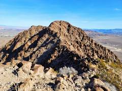 Railroad Pk ahead, from 4040+ |
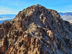 View back S to 4040+. There seems to be a class 2 chute down to W from this sadlle. Traverse to Railroad is rough, but need be no worse than class 2+. |
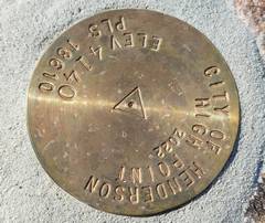 The city of Henderson officially annexed RR Pk in 2022 (thanks Tracy!), I first saw reports of annexation plans in ~2005-6. I hope they don't build houses here. |
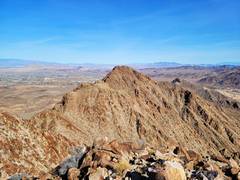 Peak to N of RailRoad; I was there in 2005. |
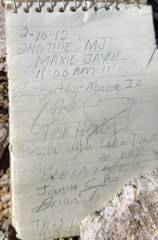 |
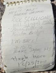 |
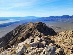 View back on 4040+ |
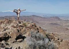 Sports bra drawn in for modesty. |
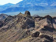 Interesting peaklet to SSW |
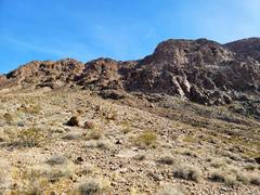 On my descent back to car, I check out this gully that seems to lead to saddle between 4040+ and Railroad Peaks. |
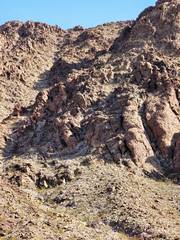 zoom of gully |
|