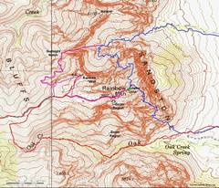
 We focus on the red, light blue or magenta routes that come from the west side of "Rainbow Mtn" on the USGS map. The dark blue routes are class 3-5, depending on fixed rope use. Note the zoom location. |
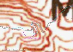 This is the zoomed region, showing the two creepiest parts of the ledges; the numbers 1 and 2 are used in the photos that follow. |
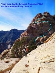
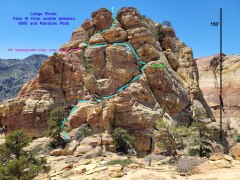 This view looks WEST at the ledges route from the saddle between peak 6800 and Rainbow Peak. I've taken the green route, and don't recommend it for solo trips. |
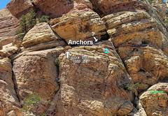 This zoom on the previous photo shows possible anchors for a handline on ledge section 2. (One could possibly use one long handline all the way down the gully from spot 1, BUT not use the line in the middle where the gully is overhanging.) |
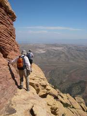
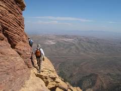
 Another view of the ledges from the east. |
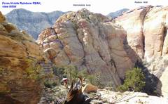 ...and yet another. |
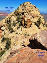 View E from top of creepy spot 1.In the past I anchored a line up here, I believe on the outcrop at R. At the base, one turns hard R. |
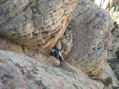
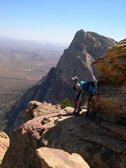
 Barb and Jodie climb UP to this spot. View from W. |
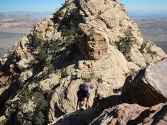 Jodie climbs UP on way from Rainbow Peak. View from W. |
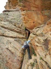
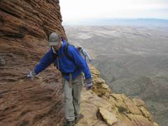
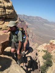
 View from E, Barb on an unnecessarily creepy route below spot 1 |
 View from the NE. Richard shows a way to skirt on the N side to avoid the overhanging downclimb at spot 1. |
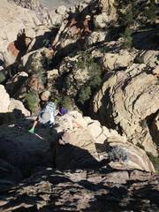
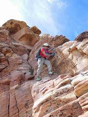
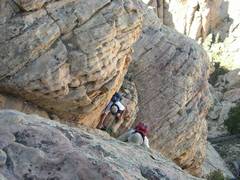
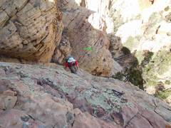
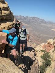
 Now on to spot 2. Susan hugs the rock to climb back UP to 2nd spot. |
 Susan steps across before climbing up the gully/chimney. |
 |
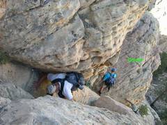 |
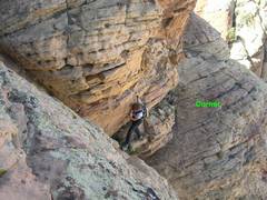
 Jodies comes up gully/chimney |
 View of same, but from "corner," as Barb steps across. |
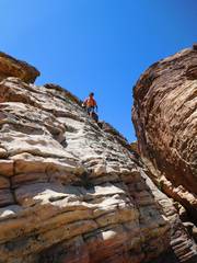
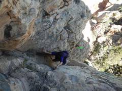
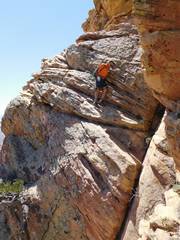
 Barb usually chose to go directly up the rock, rather than take the gully/chimney. |
 From "corner," this is Richard climbing directly over rock, toward gully; this is a "bold" approach. |
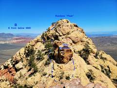 View east toward Rainbow Peak from ledges. Note large "Boulder." The S (R) route is currently cairned. |
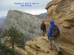 On the way back, you must remember to climb up a bit and head SW around the "Boulder." |
 Now for the "old" route marked in magenta on 2nd map at top. View EAST. Note the directions on photos. |
 This way used the "photographic ledge" to bypass creepy section 1, on the SE side of peak 6800. However, it required one first descend a loose gully, and some found the exposure unnerving. |
 |
 After the photographic ledge, one wrapped NE (L) to join the "new" route. |
 A view from the other direction of nearly the same spot. |
 |