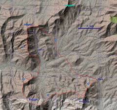
 My route. I've marked the place a "runner" might want to stay low as "easier." |
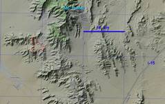 Same, but zoomed out for context |
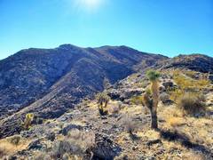
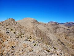
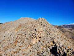
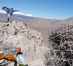
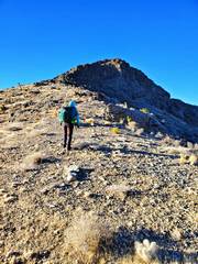 Kevin heads SW up Shagged |
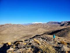 |
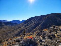
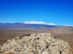
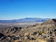 Nopah Range across Sandy Valley, view W from Shagged |
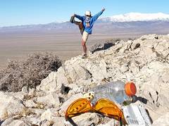
 Oops! View back S over Ragged... I was so rushed I didn't stop at summit. |
 Still descending Ragged... |
 Potosi from way down Ragged |
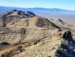
 Peak 1642 to ~S |
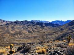 |
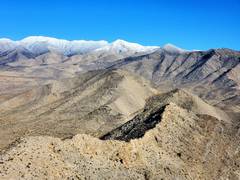
 View N to Jagged |
 There's the valley where we are to meet. |
 View NW, last ridge down to valley where we are supposed to meet. |
 Now I'm on the next ridge looking N to Jagged. I expected this would be fast. |
 It wasn't. |
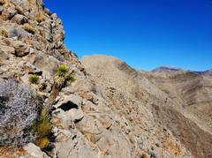
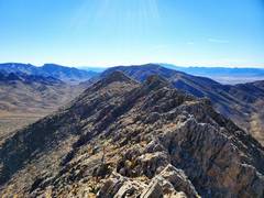
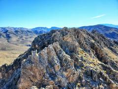
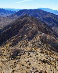
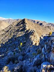
 No picture adequately captures the roughness, as there are hidden drops in what appears as one ridge. View S. |
 |
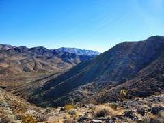
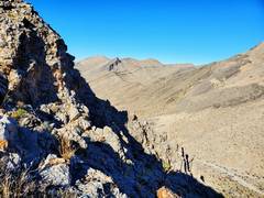
 View N |
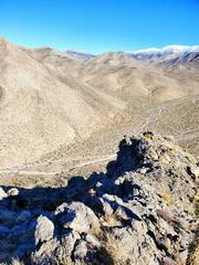
 View S |
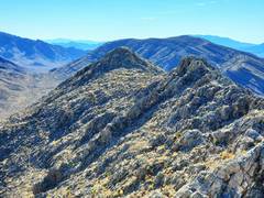 View S |
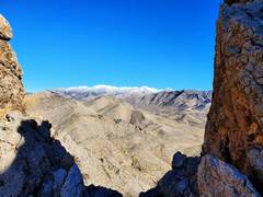 Potosi to E, through one of many hidden gaps. |
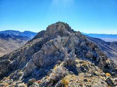
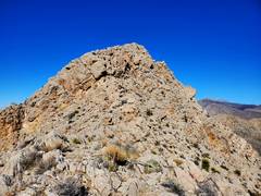
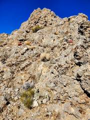 One of many pinnacles I climbed, just to find a 20' cliff on next side. |
 |
 |
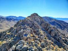
 At last, Jagged! |
 Finally on Jagged. Charleston to N |
 |
 View ~W, Nopah on R side |
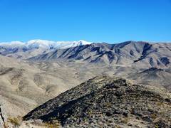
 Next ridge in foreground, View to frosted Potosi |
 Charleston to N. |
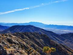 Kingston range WSW |
 I met Kevin over next peaklet to E. |
|