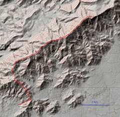
 Our hike. We took a mainly-2WD road to the old Aliquot Mine, ceded back to BLM in 1989. |
 |
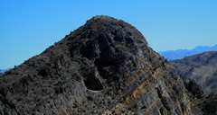
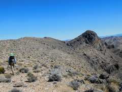
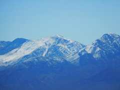
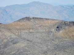
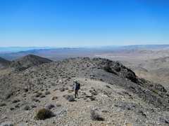
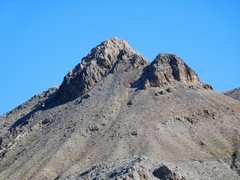 This peak looked impressive from early on, but actually has little prominence. |
 First peak, with only about 150' prominence |
 |
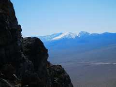
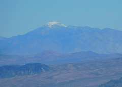
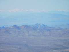
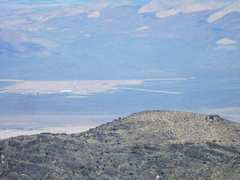
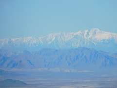 Telescope Peak across Death Valley. |
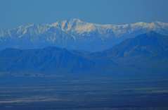
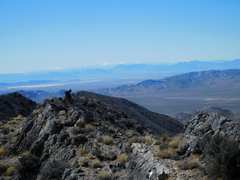
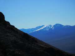 SW end of Spring Mts. |
 |
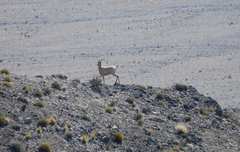 Lone bighorn |
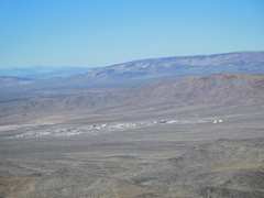 Mercury NV, a closed town I last visited in 1992. |
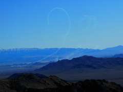 Something was flying tight loops on the Creech USAF base. Some drones can handle this thrust. |
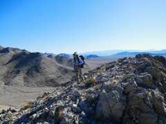
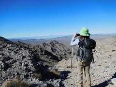
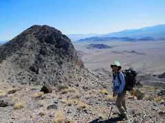
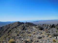
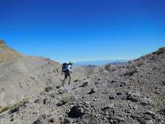
 South Ridge, our destination (over many little peaks) |
 |
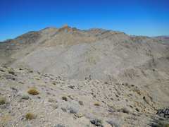
 South Ridge in back |
 Another view of Spring Mts |
 |
 Yet another view of Willow. |
 Telescope again |
 Bald Mt. |
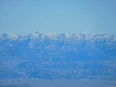 Sheep Mts |
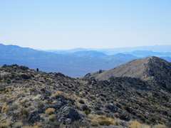
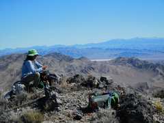 View east from South Ridge summit. |
 |
 |
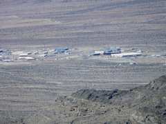 Mercury |
 Area 5, where I once took soil samples |
 North Ridge |
 |
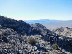
 Heading back |
 |
 |
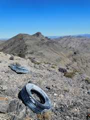 Target Tires for USAF, on BLM land. |
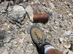 One of MANY smoke grenades. USAF probably wants this land so they don't have to write EISs for dropping junk on it. In the past, there was no real penalty. |
 |
 |
 |
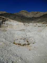 The old Aliquot gold mine |
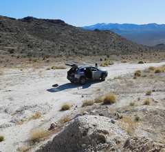 Our trusty steed. |
||