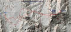
 I took the route from the pavement on Rte 60/165 to Nelson. The first 1-2 miles is a confusion of washes. It looks like there is an easier path from 4x4 road to the east. |
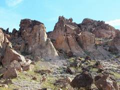
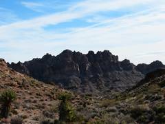 First view of Stocker Ridge from west. |
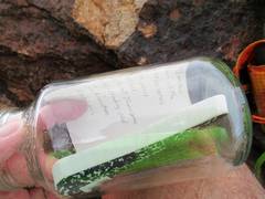
 |
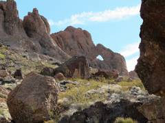 Arch to SSW of Stocker |
 We go up the R gulley. It's steeper than it looks. |
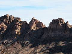
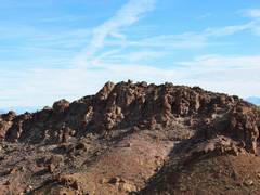 Now on the E side of Stocker ridge, we see the true summit, a lone boulder. (USGS, using photogrammetry, put the 1173m mark on a spot to N). |
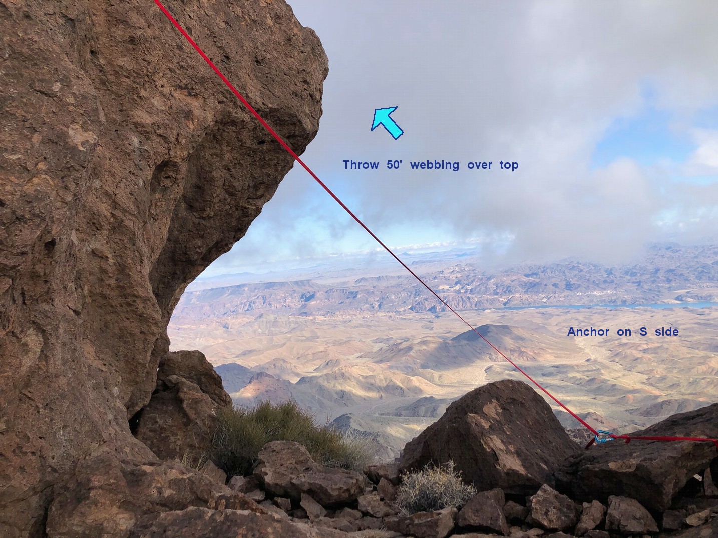
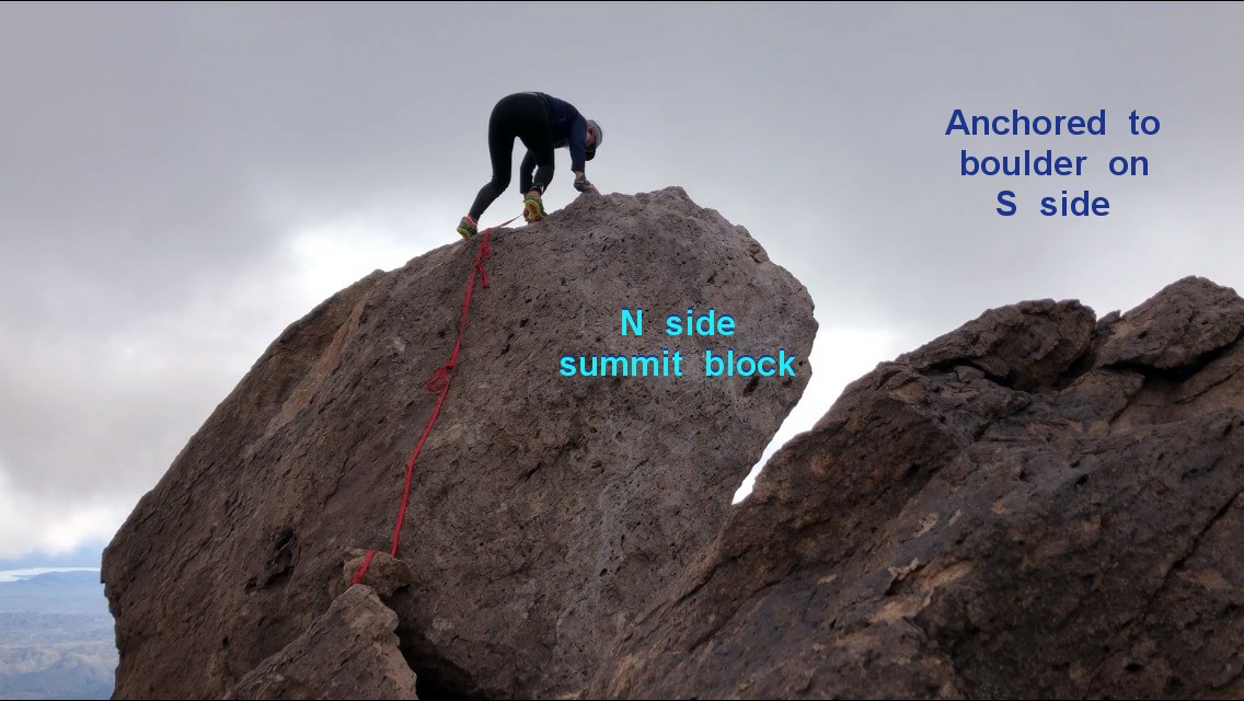
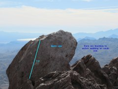 This is the true summit block, view S. I needed to add 2" of cheater rock to reach the ledge at top of "7.5'" bar. A taller person might reach the ledge easily, but would need some upper body strength to mantle. Look here and here to see how Ms. XX used webbing. |
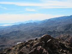
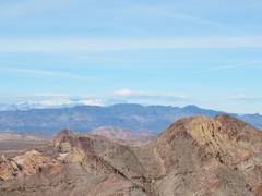 View S, with snowy Charleston at L, Black Mt ridge in mid-distance, and Lonesome Peak (Wilderness highpoint) as the tannish Mt on R in foreground. |
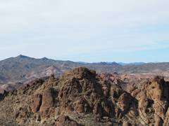
 View to Railroad Peak in Black Hills near Henderson. |
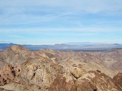
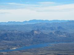
 View S to Spirit Mt |
 View over Stocker |
 Black Mt in back of Lonesome Peak. |
 |
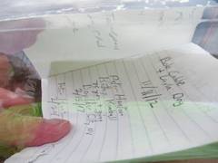 Bob Cable wrote rock- climbing books for California, and has climbed many of the harder summit blocks in Southern NV. |
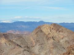
 Fire Mt. near river, with Mt. Tipton and the Cerbat Ridge in back. |
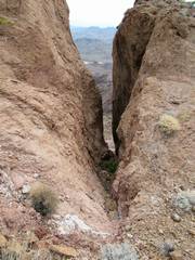 View S through some canyons at the S end of the valley between Stocker and Stalker. |
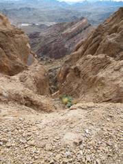 All the S canyons had unseen, talus-covered cliff bands |
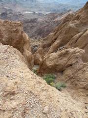 So for today, I opted not to explore routes down the canyons. |
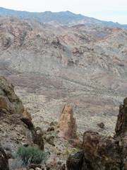
 View back at Stalker |
 Heading W from Stocker Ridge. |
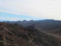 Nelson and the Nelson Rd. |
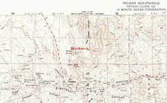 The 1958 15 min. map. |
||