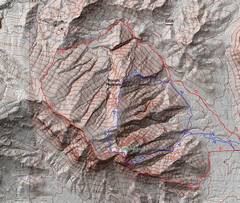
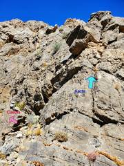
 The route with Walt and Kelly is in red; my later retrace of 1999 route is blue. |
 The first time with my AZ buds, we climbed the low cl 5 cliffs, but followed cairns to skirt part of arete. Later I avoided the cl 5, but went directly up arete. |
 Context. |
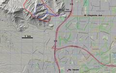
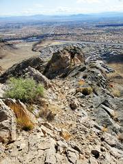
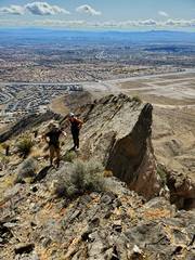
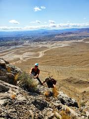
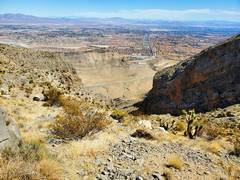
 View ~east as we start the SE ridge. The area behind Kelly was desert until ~2007, when it was graded. Actual house-building started about 2016. |
 Walt is almost knocked over by the wind. |
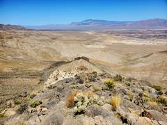
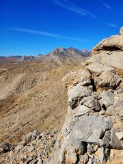 View ~SW to Damsel/ Pincushion Peaks |
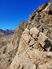
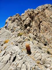
 View ~NW to the start of 30-40' cl 5 |
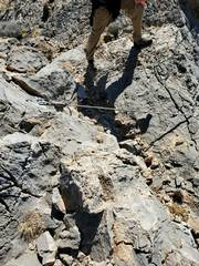
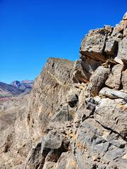
 The red is the route I took. Note catclaw. |
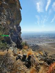 Now the same cliff, but looking straight past catclaw, to show steepness. |
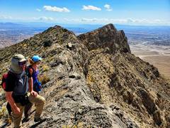
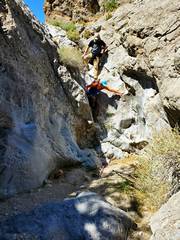
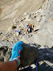 I planned to offer a belay, but my buds were so fast the rope was just a handline. Kelly in blue-green hat. |
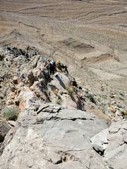
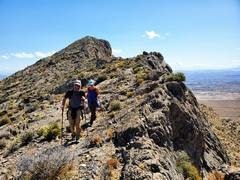
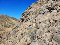
 There is short benign section, till one starts the arete. |
 |
 |
 |
 |
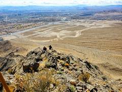 |
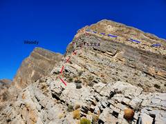
 At the summit, the view W is a whole different world. La Madre in back. Next we will run L to R on the "Woody" ridge in foreground. |
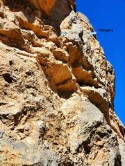
 On Woody ridge, someone has put in bolts for a rap over the cliffs. This is a wilderness area, and bolting has been illegal since at least 2005. |
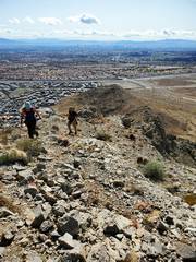
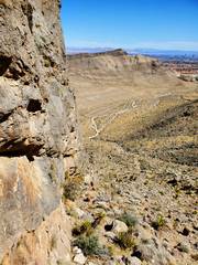
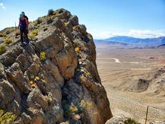 Walking near the edge. At R is a 100' cliff. |
 |
 |
 The last dryfall of the day. |
 So a week later, I went back solo to finish the route Matt and I started 22 years before. |
 An important note: make sure you turn R from the main drainage, else you will end up below the cl 5 cliff. |
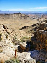 View down subsidiary gully. Cheyenne Mt in back. |
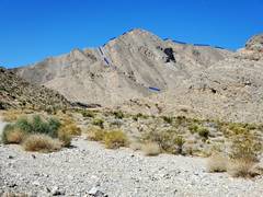
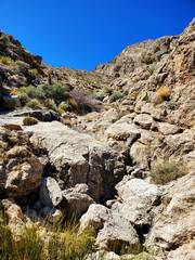 View up-drainage to start of arete |
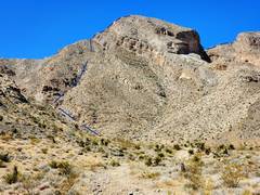
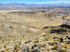 View back down to Cheyenne Mt |
 The 1999 trip ended ~at the red dot. |
 |
 Above the red dot 2 pics back, one can follow cairns for a more protected climb, or go up the very sticky rock on the mid-arete. |
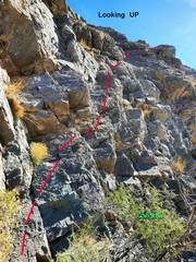
 Looking up, the route |
 View back down mid-arete |
 At L, the cairned route joins the arete again. |
 My one photo from the summit: a gastropod fossil. |
 I started down the normal ascent route, which would go down the ridge at L... but chose instead... |
 ...to head down a ridge W of the normal descent. From here it looks totally benign... |
 ...except there are some peaklets that are about 50' above the ridge. |
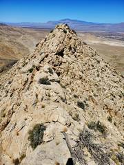 View N from top of previous peaklet, somewhat hairy edge between. |
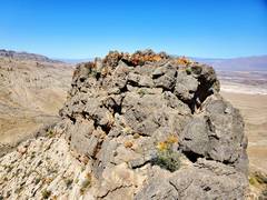 And yet another peaklet. After climbing this one, I backed up and went down at R. |
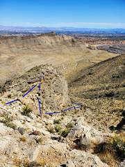 Route down. |
 |
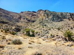
 Before the wilderness closure, one could drive to these climbing walls. |
 View back at lumpy ridge, so benign on maps. |
||