 Overview |
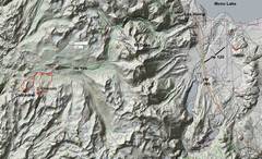
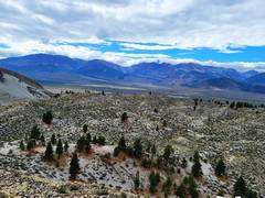
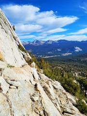
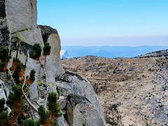
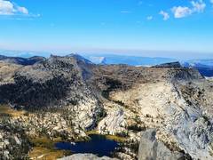
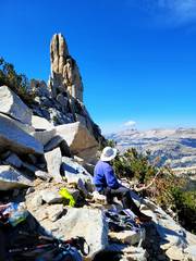
 Sept 13 I drove out to camp on BLM land, and took a quick hike up onto a volcanic dome. |
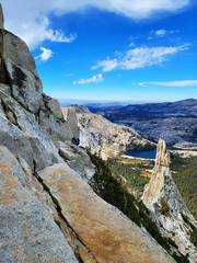
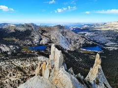
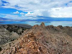 View S to Mono Lake from highest crag on this one dome. |
 |
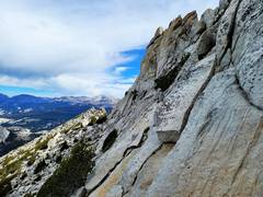
 View W to Sierra, where CP and Michelle are hiking in the rain! |
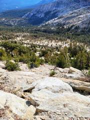
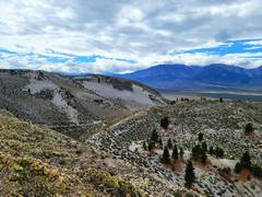 SW |
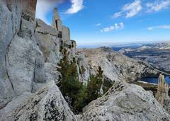
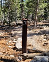
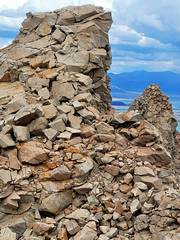 The last crag on Sept 13. |
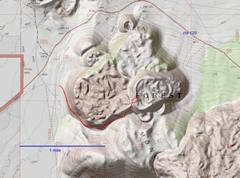
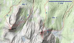 Overview for next 2 days. |
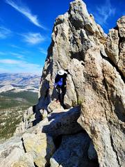
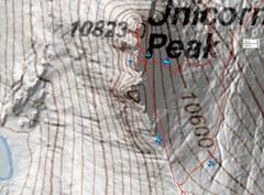 On Sept 14, we went up Unicorn, which looks "unicorn" only from NE |
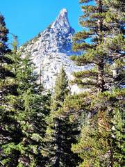 View from NE |
 |
 View SE from Summit |
 Lots of rap slings |
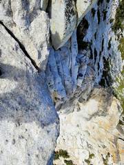
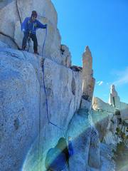
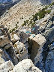 This is the way I took down, a 4-5' jump to avoid... |
 ...the way I came up. We later used a handline for folks who didn't want to jump! |
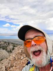
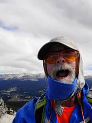
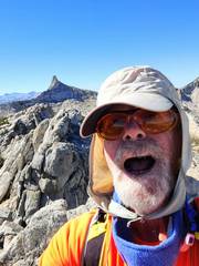 Selfie. I think that is Cockscomb to S |
 |
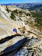
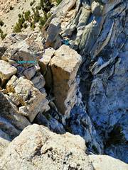
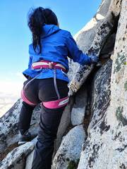
 CP comes down a knife edge |
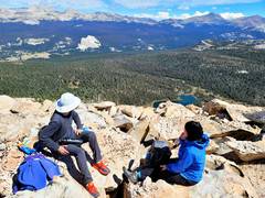
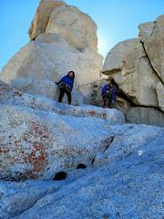
 Michelle and CP chill |
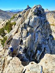
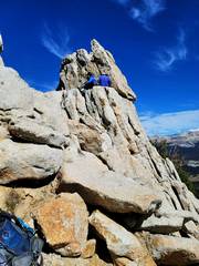
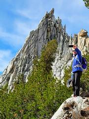
 "Unicorn" to N, we are climbing a very-slightly higher peak to S. |
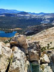
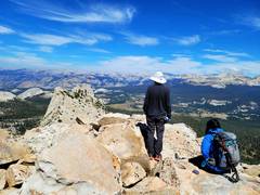
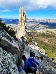
 This is from the peak N of unicorn; view SW to Cockscomb and WSW to Echo Peaks (R). |
 |
 |
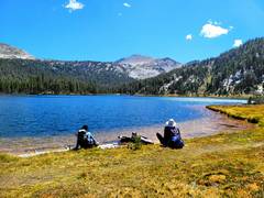 Chilling by Elizabeth L |
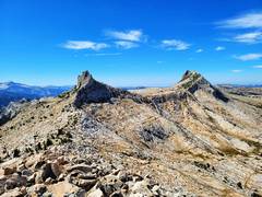
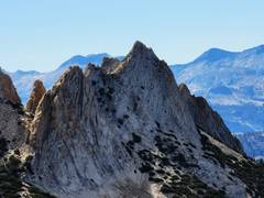
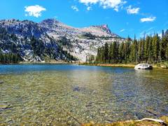 Believe it or not, that's what "Unicorn" looks like from E. The ridge on R is actually very thin, and culminates in several sharp peaklets. |
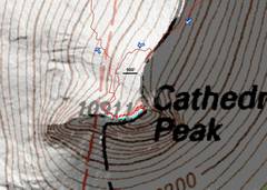 On the 15th we went up Cathedral. The blue dots show the ridge crest; NOTE the scramble route stays N of the crest till near the very east side, when it climbs a gully up a route just W of summit block, heads around a creepy corner to S side, and heads up a very exposed but technically simple chimney. |
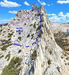 Scramble route on N slope Cathedral. (Picture courtesy Sarah Meiser, 13ergirl, from Eichorn Pinnacle.) Blue is the normal scramble (mountaineer) route. Light blue dots indicate route has gone behind rock to South Face. Pink route is harder. |
 Unicorn to SE |
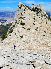
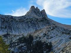
 Cathedral as we head to rough climb on E side |
 View NE on typical terrain below N-trending ridge |
 Michelle comes up crappy sand to crappier steep slabs mixed with sand. |
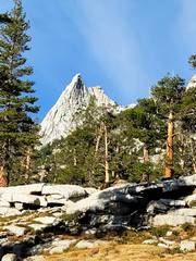
 Cathedral to SE, before topping lesser ridge N of peak. |
 Eichorn Pinnacle to W, start of scramble route on N side of peak |
 View E, below crest. One can always find a class 3-ish way up cracks as one climbs up to R and ENE and E |
 View back W |
 View back W to Half Dome |
 View back W |
 View of Half Dome from Cathedral Summit. I went ahead to see if I could set up protection. |
 Selfie on summit |
 |
 Here I'm looking down WNW from summit. CP (foot only visible) is belaying Michelle. They will then head up a hidden gully to L and up from CP's foot, and emerge at creepy corner on S side. |
 More views W from top |
 Coming down, view S. I am just below hidden gully, acting as a spot. There is a very big drop to L (E) just off camera. |
 CP lowers pack. |
 Waiting for the pack (in another place) |
 Eichorn to W, as we get ready to head down on W side of peak. |
 Where Mountaineer's trail diverges |
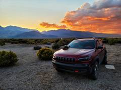
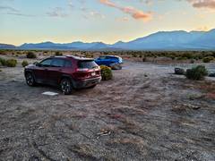 Our camp spot that eve. |
 |
 next day in Fish Lake Valley E of White Mountains. |
|
*I planned trips to Cathedral in 2008, 2012, and 2017...all were cancelled. I fnally got here, thanks to Michelle and CP. This was the first time I had been to the Sierra in over 5 years, and the first time I had driven more than 200 miles since my accident in 2018. This was CP's 9th time to Cathedral, and he slowed to keep me from blowing a gasket. If ever I seem "ahead of CP" it was because he had stopped to belay.