LaMadre
From NW (near Vegas, NV)
pics by Harlan W. S. This trailless route starts at near 6000’, and is
low on talus and brush (I wore shorts).
This route would be deathly hot in summer.
The terrain is confusing; either be very good with a map and compass,
or use a GPS. This is not the
approach described on the www.hikinglasvegas.com
site as of Oct 16, 2008; this route is substantially shorter with less
accumulated elevation gain, and much less talus. It may be the approach
described by Andy Zdon in Desert
Summits, except the correspondence would require Zdon to have an odd
definition of “ The best way to
describe the approach is with the co-ords for the two crucial turns. First,
one takes rte 157 ( A GPS (gpx) file
that you may use at your own risk is here. Save it with a gpx extension; your
brain-dead browser may try to rename it xml. |
|
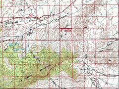
This 100k map shows the area. |
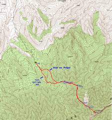
24k topo with GPS track. |
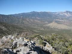
Near point 7044, this view is NW to the |
|
|
|
|
|
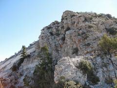
At point 7044, this view is up ridge. At L is the landslide scar, described on p38 of |
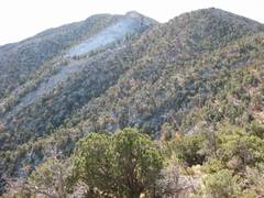
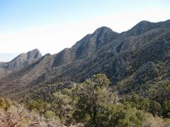
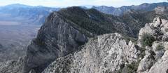
View E at pt 7044; The leftmost peak is East LaMadre, and the next point R is pt 7667. |
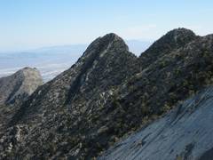
As we climb the ridge, the sharpness of pt 7667 becomes more apparent. |
|
|
|
|
|
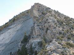
The top of the landslide scar is at L. We go up the rocky ridge at R. |
View back to Mummy. |
|
|
|
|
|
|
|
View back NW over the rocky ridge. |
View down E over top of slide. |
|
|
|
|
|
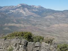
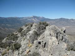
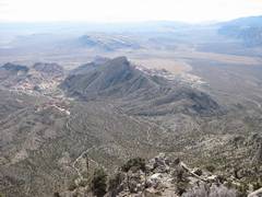
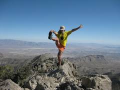
At summit, view SW over El Padre. |
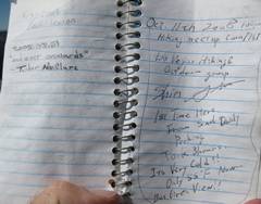
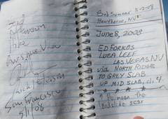
Last entries in register. |
|
|
|
|
|
|
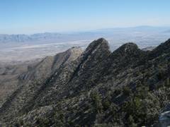
View down S at Turtlehead. |
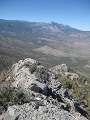
View E over Summerlin Range. |
Starting down, view NW to Mummy. |
|
|
|
|
|
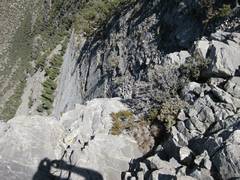
View down rough quasi-knife edge. |
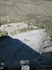
View down the slide, with scar and debris field at bottom. |
At same point, view E. |
|
|
|
|
|
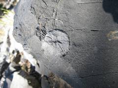
Rose coral fossil. |
Tingley, J.V. et al. (2001) Geologic Las Vegas
Area (Expanded Edition). Special
Publication 16. ISBN-1-888035-07-2. |
|
|
|
|
|