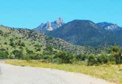
 View of Dean from N, on the Hualapai Mt Road. |
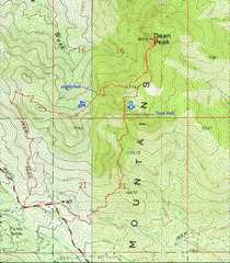 My routes. The descent route initially followed a faint cairned trail. Descent: if you continued W, instead of dropping down straight S in the gully, you could probably cut back over to the ridge. |
 View back at Aspen Peak,; the notch in the peak is the site of the "Dean Peak View" sign (which causes many who take the trail to Aspen Peak, to think they are on Dean Peak!). |
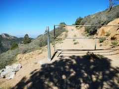 The padlocked gate on the road to 1st ridge. |
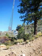 The road is to service some transmitters. |
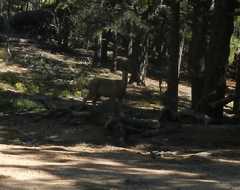 I saw 2 does that day. |
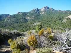
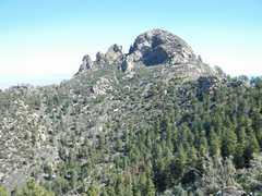
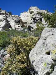
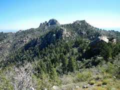 Dean Peak is at L. The ridge in between is surprisingly rough; there are many slick granite boulders, with large drops, pinnacles to avoid, and lots of rose bushes waiting to cut you. |
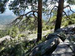
 Welcome to Slight Hell. |
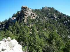
 Summit block of Dean. At first I thought I might just scramble up the S face, but as I drew closer, I realized it was technical. At this point the remaining ridge walk, to the pass, is pleasant, especially if you keep to the R side. |
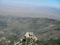
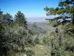 Kingman below. |
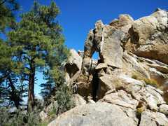 Elephant rock. |
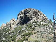 View up at Summit block. The plan is to go on the right side and look for a gentler route. I was wearing trail runners that proved slippery on the polished granite. |
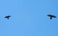 On top, ravens were trying to scare off a hawk. |
 |
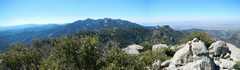 Panorama of other "tall" Hualapai Peaks to west. There is a big cliff about 30' west of here; oddly, I didn't get any pictures looking down the cliff. |
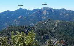 Detail of previous pic, with peak names. |
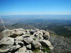
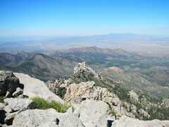 View N. |
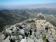 Same, slightly different perspective. |
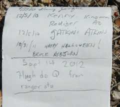
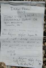 Just 1.5 pages of signatures in log. |
 |
 View E. Don't know what this junk is. |
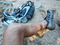
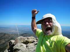 I've never felt more beautiful. I'm not used to my camera, and just broke my glasses, so I forwent my normal pose. |
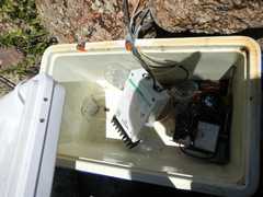 Here are the contents of one of the experiment boxes on top of the lesser peaklet. |
 Almost down, view back S. The other route starts R of the tree. |
 |
 The 4th class route goes up this chimney on SE side. |
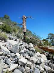 Unusual burn marks. |
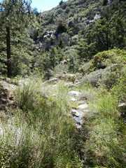 There was some water at bottom of my Hellish descent route. |
 Part of the damage done by brush on descent. I still had more to come as I climbed out of a wash. |
|
*"Dean Peak in the Hualapai Mtns (8013). This nice looking
peak turns out to be much easier than it looks from a
distance. From the windmill in McCarry Canyon a jeep
road leads SW and then west to near Yellow Pine Spring.
Hike SW through open forest to the ridge, go along the
ridge to the east face and follow a brushed out route
up through the rocks. A new repeater has been placed
on the summit and the workers have left all kinds of
junk up there. I could not find a register. It might
be feasible to do this one from the microwave station
to the west, but the hike up the jeep trail is nice.
(6, 3300)" John Vitz, 2004 report