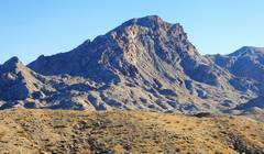
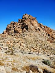
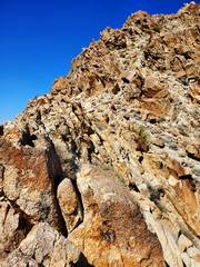
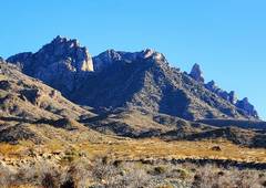
 Gendarme Peak, as seen from the N |
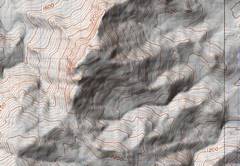 The contours on the USGS map are a little deceptive. 100m grid. |
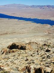
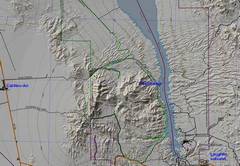 The context. 10 km grid |
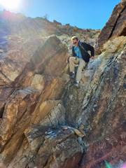
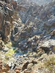
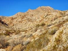 Deceptively benign View, looking up from E side. Do you like catclaws? |
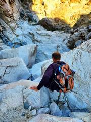
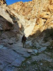 So we started up what seemed like the easiest route. I brought just 30' of 15mm webbing; and that limit was good, because it made us use thought to replace gear. |
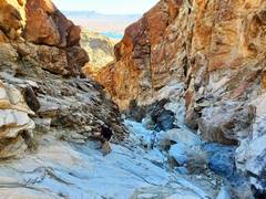
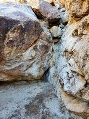 The chockstone is about 10' up. I was able to get above the stone. I then traveled quickly up-canyon, and realized more of the same was ahead. So Steve spotted my downclimb and we found a sketchy bypass on N side. |
 Lots of dryfalls, but none above class 3. |
 |
 |
 Steve decided he would take a nap, and urged Tracy and me to head on. |
 Sugarloaf PEAK in AZ. Tracy, Anji and I went there in 2017. |
 |
 Looking up at G1. Photo is deceptive; the rock is crappy, nearly vertical, and there is a huge drop to W (L). |
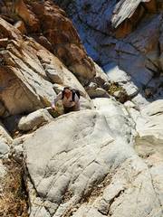
 I saw a low class 5 route, but was unsure what was in back, so we opted to skirt around. |
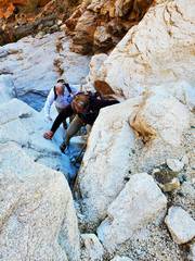
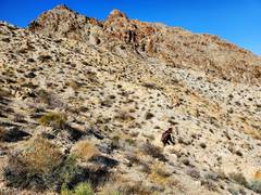
 For the next hour, I was so absorbed in route-finding, I took few pictures. Here we are going up a gentle slope near the summit. |
 Tracy summits |
 The W side looks like this (view N) |
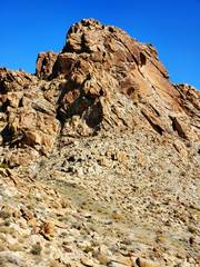
 Gendarme on ridge looks deceptively benign from this side. |
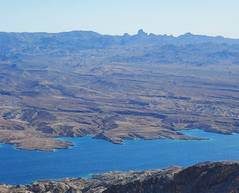
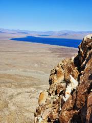
 Spirit Mt from summit. |
 The Real Devil's Thumb from summit. |
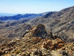
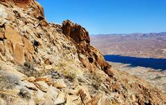
 View NE |
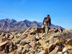
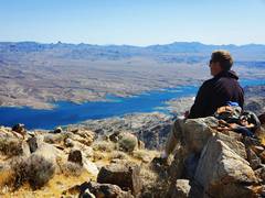 Tracy contemplates Arizona. |
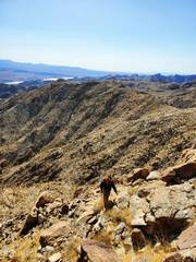
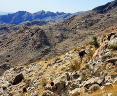
 Cicumnavigation on way back. Class 2 (except where it isn't), loose rock and big drops off-camera. |
 |
 This looks soft and fluffy on Google Earth. |
 |
 |
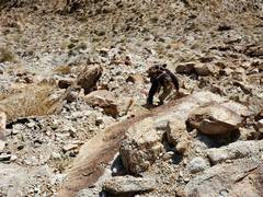
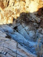
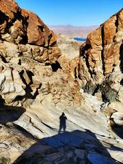 Back down through the dryfalls |
 |
 |
 |
 N side of Spirit Mt, on drive out. |
|