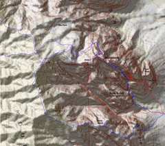
 A close up of some routes. Red is a 2008 route up the east ridge and by the arch; Blue is a route Barb and I took Last Feb., and purple is the route on Dec 6, 2015. |
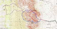 A broader map to show the trailheads. |
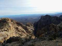
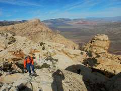
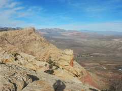
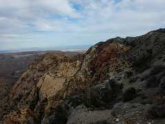
 View W from limestone ridge, just before the highest elevation of the day. We're on the purple route, about to descend to E over sandstone. |
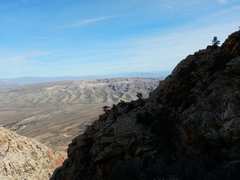
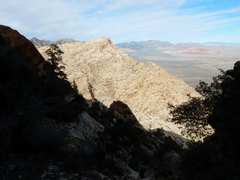
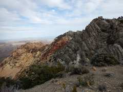
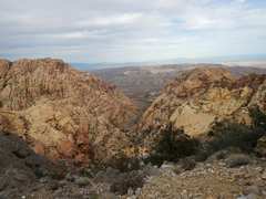
 From the limestone ridge, we get this view E over Monument and Hidden Peaks (L), the Black Velvet Canyon, and Black Velvet Peak to R. |
 |
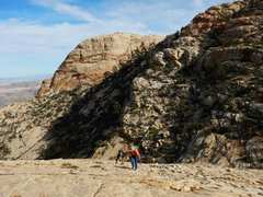
 Now we're on the L (NW) shoulder of Monument. We wind R by the level spot, then traverse, and head up two steep gullies. |
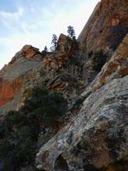
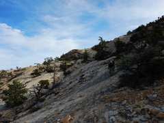
 Up the 1st gully |
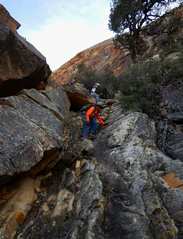
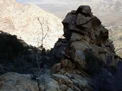 Looking NE, this rock marks where one traverses SW to next gully |
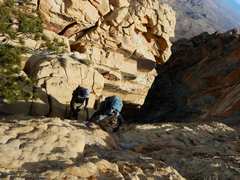
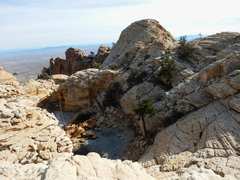
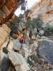
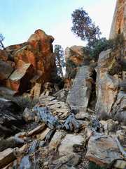 Next gully, near top (bottom is this gully is dangerous from loose rock); you need to reach the notch at center (with tree "inside") |
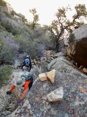
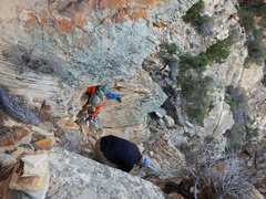
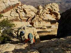
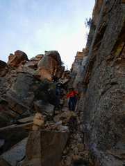
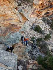 Taking convoluted route to notch |
 |
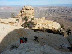
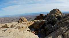
 Now above notch |
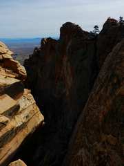 The valley drops off quickly, 2000', to E. |
 This is the short class 3+ wall just above the big drop. View NE and down. |
 |
 |
 View N, Mt Wilson in back. |
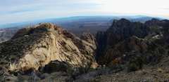
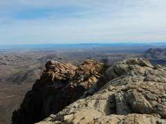 View ESE from top. |
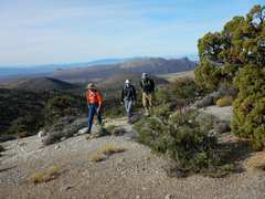
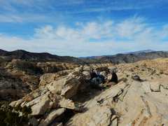 View NW with friends. |
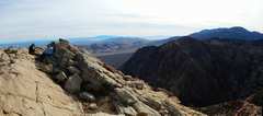 View SE from near top. |
 |
 now we stroll around W end of summit area, to look back on frozen tinajas. |
 Another view of frozen tinajas (water- filled tanks). |
 descending W above messy chute |
 |
 |
 View back up ~SE |
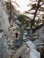
 Head of slippery class 3 in 1st chute |
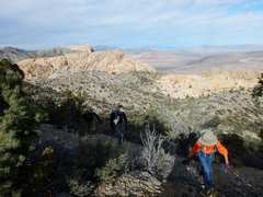
 Climbing out of valley N of Hidden Peak. Monument is the lump in back at L; the route goes around the shoulder at L. |
 across the SW side of "The Park" |
 |
 scenery on trail to Park |
 View E through Spring Canyon. |
 |
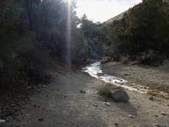 Almost back at Rainbow Springs, water in trail still frozen. |
 My cats were hungry when I got home. |