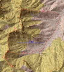
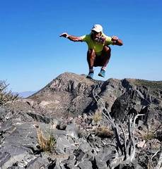
 Numbers are approximate photo locations. The roughest terrain was between #3 and #5. |
 context map. |
 Again, 5804 as viewed from Rainbow Pass Rd. The known route is behind E arete (R side), involves 30' cl 5 at last cliff band. |
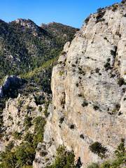
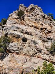
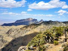
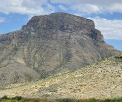
 View W to 6975, from ~#1 on map. Note large shallow cave near base. |
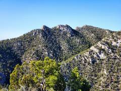
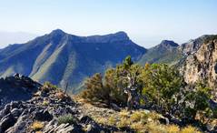
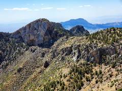
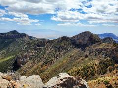
 On 6975, #2 on map. View ~NW to 7365 |
 View WSW from just below 6975 (E of location #2). |
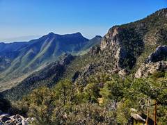
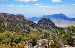
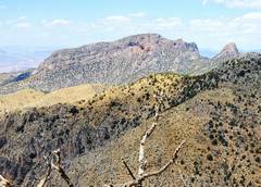
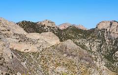 View ~WNW from 6975 (#2). USGS 7222 is on R. |
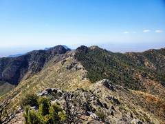
 View from #2, ~SSW, to nasty ridge I must traverse. |
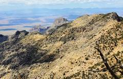
 View from 6975 (#2) ~SSE, to peaks 7083 and 6970 (old USGS maps mark 6970 as 6966) |
 |
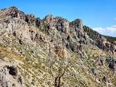
 View ~W from #3. Ridge is not flat! The rock seems good, but peels off in huge chunks |
 ~SSW from between #3 and #4. I went R around this and found a relatively brush- free path. |
 Nominal cl 4 that I could have avoided by going through brush on R. |
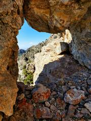 window at bottom of cl 4. I used side of window to step off, and loosed a big rock fragment (at least 100 lbs.) |
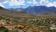
 between #4 and #5, view ~S to SSW. 7211 in gap. |
 Back ~E from #4, rough ridge route |
 S from #5, view of 7211. |
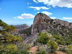
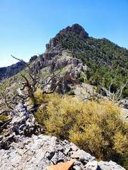 Looking S to 7211 from near #6. From this side, stay R to base of cliff, then L up ramp to hidden break in cliffs |
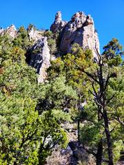
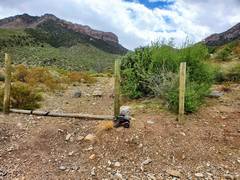
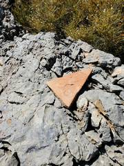 Near #6. This rock is not like others in the area, and may be a very old sign of visitation, marking route between agave roasting areas. |
 at #6, 7083 to ESE |
 |
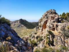
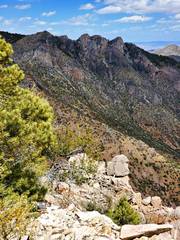
 From near #6, view back NNE to rough ridge |
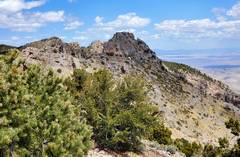
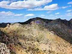
 On 7211 (#7), view ~S to #8, marked as 7189 on USGS map |
 View back ~NNE to 7211. There is a cl 2+ chute on E side summit block. Pic taken between #7 and #8. |
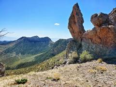
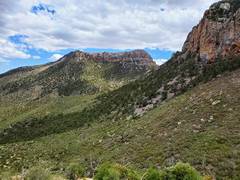
 View to Mormon Peak (L) and Shark Tooth (R) |
 View ~S to Moapa Peak at R, back. |
 S to #8, 7189. There is a narrow, vegetated break in cliffs on R side |
 From #8, view ~N to 7211, which fades into cliffs in back |
 View WSW from #8, "Warwagon" (Dome Peak, USGS 6365) peeks over shoulder. |
 From #8, view N to cliffs I traversed |
 Back between #8 and #7 Mormon Peak and Shark's Tooth at R. |
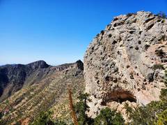
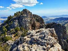
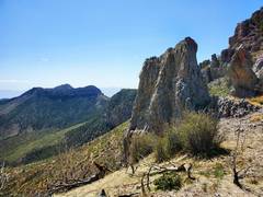
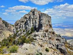 View N to 7211 summit block. There are two narrow class 2+ chutes on NE and SE sides |
 View SE from 7211 (#7) |
 View NNE from 7211. No room to maneuver, summit is tiny. |
 View of 7083 from top 7211. |
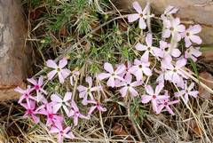 Phlox on descent east of 7211. Very few flowers in this record dry year. |
 at #9, view to 7083 and 6970 |
 This area burned ~2006, this is a stump left by firefighters |
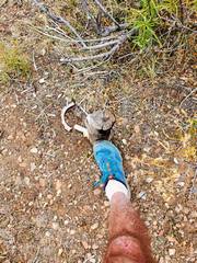
 Back at #10, view SSE to ridge of 7083 and 6970. RC toy 4x4 was here last week, but 10' to L. |
 View E to "back" of 5804, from Horse Hollow Rd. Possible 4th cl? |
 From Horse Hollow Rd., view ~WSW to 7211. |
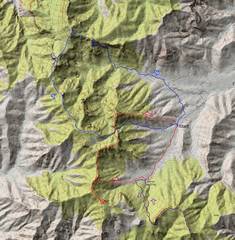 For the patient: red is this trip; blue is trip Anji and I took 2 years ago; purple is trip I took last week. Note the hypothetical blue dashed line for an easier descent. |