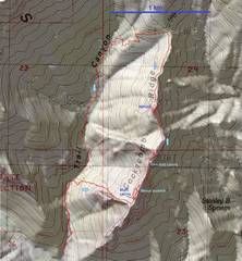
 Loop trip. |
 Detail to show photo locations. |
 BW waypoints. 11 is off, perhaps from ridge reflections (I used dual frequency gps to avoid that). |
 Context. Route starts ~1/2 mile up Trail Canyon. |
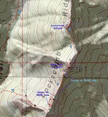
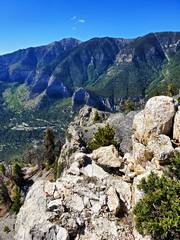
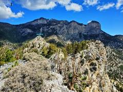
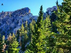 Near location A on map, view E. 2938T (m) is at L, minor peaklet at R. I saw just 1 cairn on way to ridge at far R. |
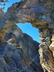 Location B, view SE |
 just beyond B, view ~S. |
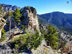 Location C, view N. To get to BW point 13, it is easiest to go L (NW) to a loose class 2 ramp (light blue line). However, to get to BW point 12, you need to retrace and follow dark blue L along W side of peaklet, then head N. |
 Near BW 13, view S. |
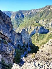
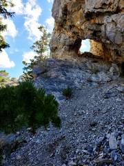
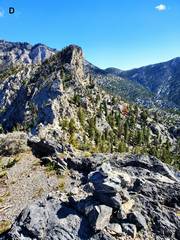 Location D, view NNE. There is a big cliff in 20'. |
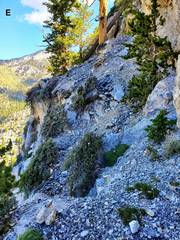 Location E. This part of route, on W side of peaklet, was fairly well- cairned. |
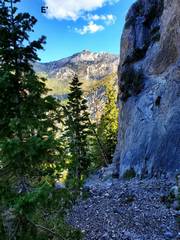 Location E'. more of route on W side of peaklet, view N |
 View NE at BW point 12. |
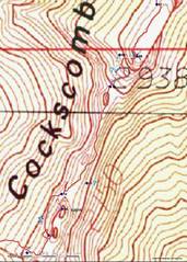
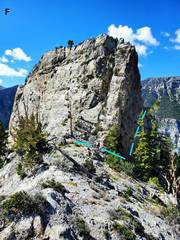 Location F, view S. BW 14 is at top of cliff. Topo map => this cliff is 20-30m high (66-98'). |
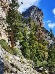 Location G, view NNE to peak 2938T. I took ~blue line, but intended route is likely to L (W) of my route. |
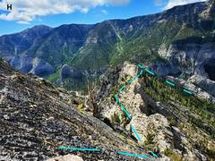 Location H, view SSW. |
 Location I, view N. |
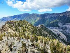 Location J, view S. Griffith in back of peak 2938T. |
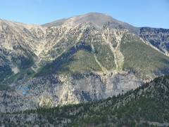 Location J. Charleston Peak to W. Joseph's class 4 route to Charleston in shown in blue. |
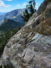 On way down NE side of Cockscomb, View S. This fixed rope appeared recently. I've come up this cliff since Nick and I found the NE route in 2003, and occasionally brought a rope to belay others, but always took it down when I was done. |
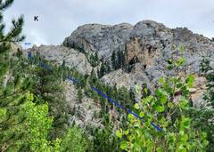 View from location K (on Trail Canyon trail), view SE, showing initial part of ascent. |