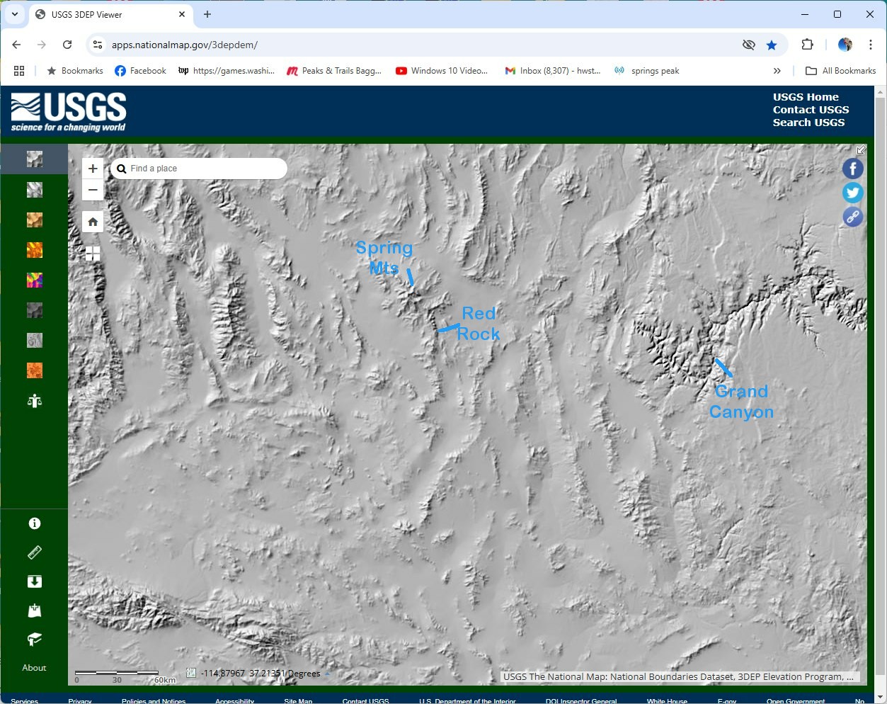
Using LIDAR from USGSH.W.Stockman
Dec 28, 2024
3) gradually zoom in on the usgs map, looking for
recognizable features at each scale. Our peak is SSE or Red Rock; I can usually
find the Grand Canyon, then the Spring Mts. And Red Rock as I start zooming.
|
