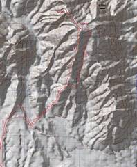
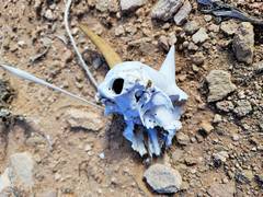
 The latter part of the hike. Starting point is the same for S route to Muddy Peak. |
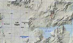 Context. |
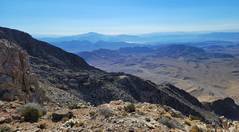
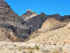
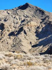 From W, the canyons on W side of Luxor look steep; but from SW one sees they are steep alternates. |
 More view of the alternate canyons. |
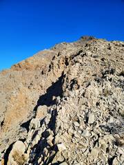 The ridge up had good footing, and was class 1-2. |
 View ~S from Luxor summit |
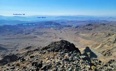
 I cut off names at top by mistake. |
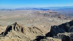
 View NW to Muddy Peak. |
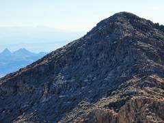
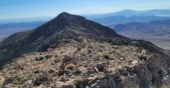 View SE back to Luxor, as I cross to Uriah |
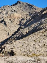
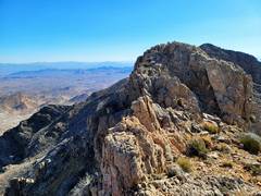
 Booth Pinnacle and Pyramid to Left of Luxor |
 View ~E |
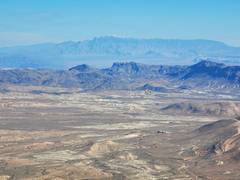 Snow-capped Virgin Mt in distance |
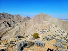
 Ridge between two peaks is mellow, with sharp ridges to clamber over and around. |
 At this point the wind gusts were knocking me over... |
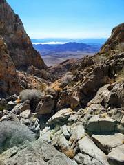
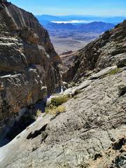 ...so I headed ~S down a canyon ~parallel to my ascent ridge. There were many slick dryfalls, but all could be avoided with class 3 routes at worst. |
 View back UP the descent canyon |
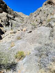
 At this point the dryfalls lessened, and soon I cut back to the ridge at R. |
 Why don't he write? |
 View !N up Lovell Canyon |
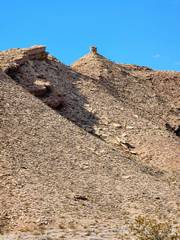 The boulder on way up ridge to peak 5254 |
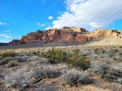 Gale Hills on way back to car. |