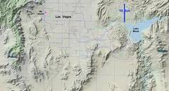
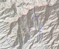
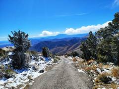
Potosi NV and Wilson AZ ...18 and 21 years later
(never say "never again")

Pics by Harlan W S & Erica
Feb 03 and 10, 2024

I went up Potosi in 2004 and 2006 from the NW, and 2x in 2003 to find the "Carole Lombard" site; the latter experience left a bad taste, so didn't feel much love.  I was told the road route from the south was a drag; but in 2024, I had the chance to do it with snow, which made it magical.

I went up Wilson AZ in 2002, and later did the much tougher traverse to North Wilson.  I liked Wilson, but it seemed a bit far across town for a casual day... until good friends persuaded me with an offer to drive.

00map0
context map

0map0a
Potosi by the road
20240203_081353
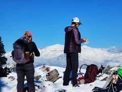
Erica's pic
proves it was shorts
and t-shirt weather
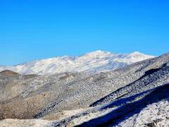
20240203_081358
Spring Mts to N
20240203_082940
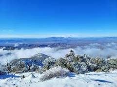
View S. Average
snow depth was ~6"
above 7500', but there
were fairly big stretches
with drifts up to 18".
20240203_084107
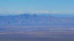
To ~W, Nopah
Mts in front.
snowy Telescope
Peak in back.
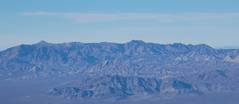
20240203_084120
Kingston range
20240203_101842
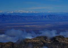
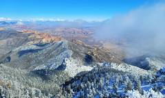
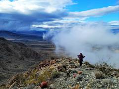
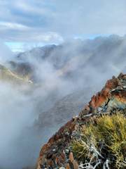
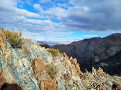
Clouds from as
humid air from
Sandy Valley
ondergoes adiabatic
cooling
20240203_101924
Telescope in back,
across Death Valley.
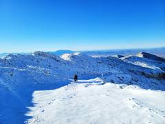
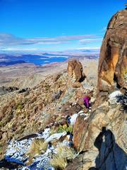
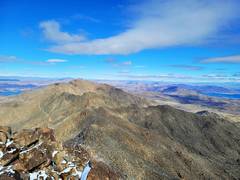
20240203_102002
On top, view N
20240203_102027 20240203_102027b
20240203_102216
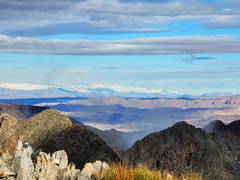
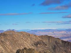
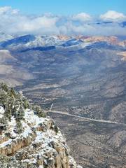
View ~NNE
to Red Rock
20240203_102231 20240203_103443
20240203_110312 20240203_115959
Road down,
much snow has
melted
20240210_082844map0
Wilson AZ from
Joe Black mine. Also
shown is descent
route from 21+
years ago.
20240210_082845
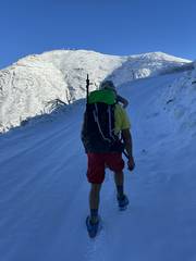
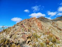
Up the start of ridge
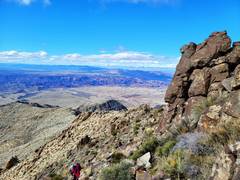
20240210_084218 20240210_095551
20240210_095603 20240210_095844
View to SSW
20240210_100702
20240210_103802
On top
20240210_103808
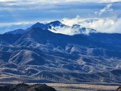
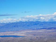
snowy Mormon
Mts in distance
20240210_103820
20240210_103832
View over Vegas
to Spring Mts
20240210_104237 20240210_105211
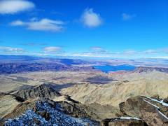
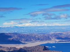
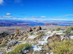
Fortification Hill
right mid-picture
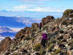
small (2)
Heading down
small (4) small (5)