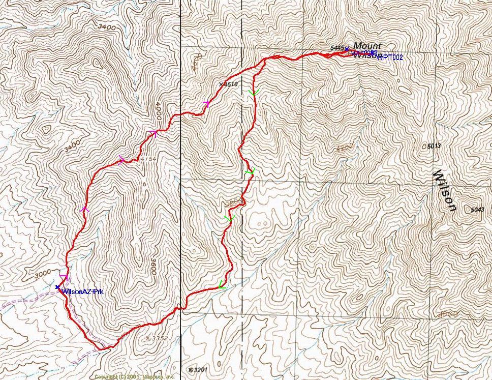
The red line is the GPS trace; the "normal" route is up the W ridge (magenta arrowheads).
Mt. Wilson, Arizona
December 28, 2002
The tallest peak near Hoover Dam.
From the Hoover Dam, travel east 5.6 miles into AZ, take a left on a 4WD gravel road, follow the road to Black Joe Mine. The basic route is described in detail by Branch Whitney.
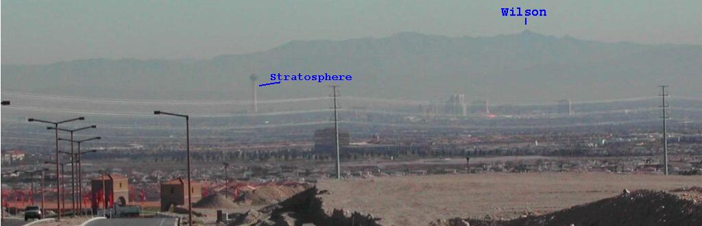
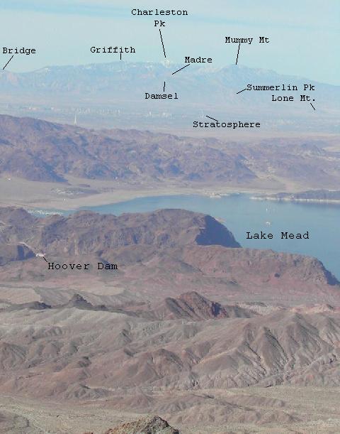
Here's how Wilson looks from Summerlin (western Vegas) on a typical smoggy day.
Click any small image to see the full-sized image.
Amon; view NE in 1st major saddle
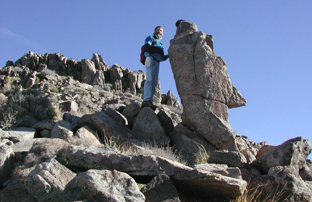
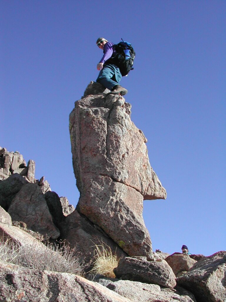
Easter Island head just below peak
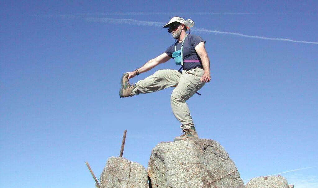
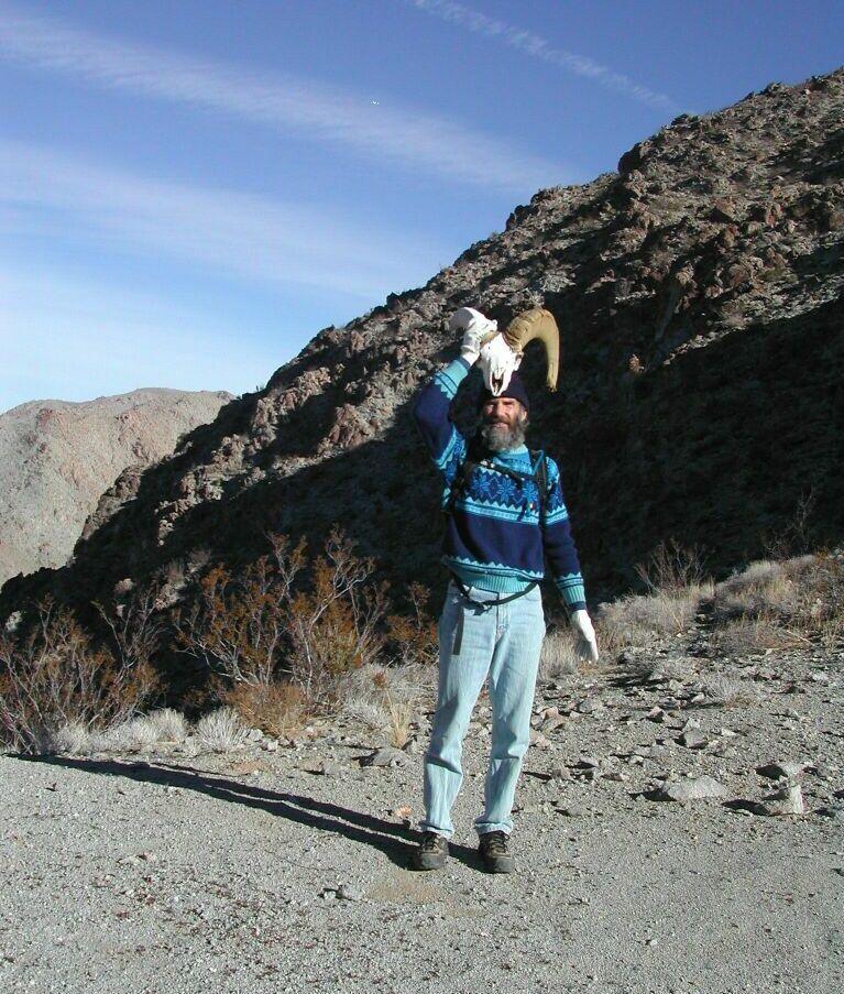
Peak fouetté*, to check my cerebellum.
View N and NE
View W and N
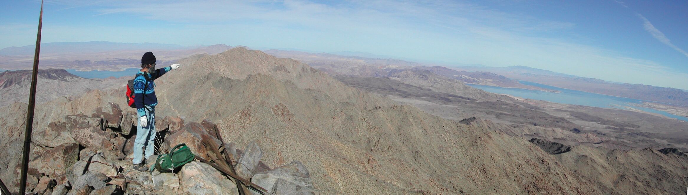
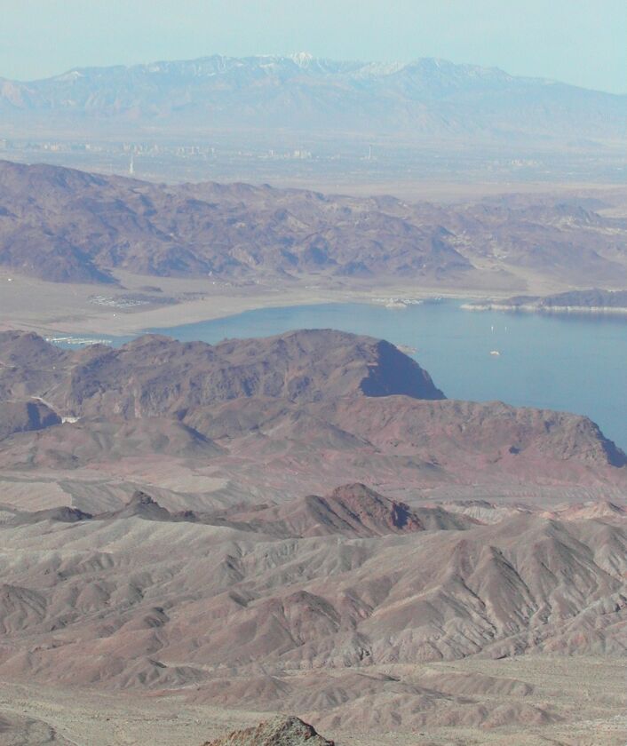
Fortification Hill (flat-top mesa) and Lake Mead in distance
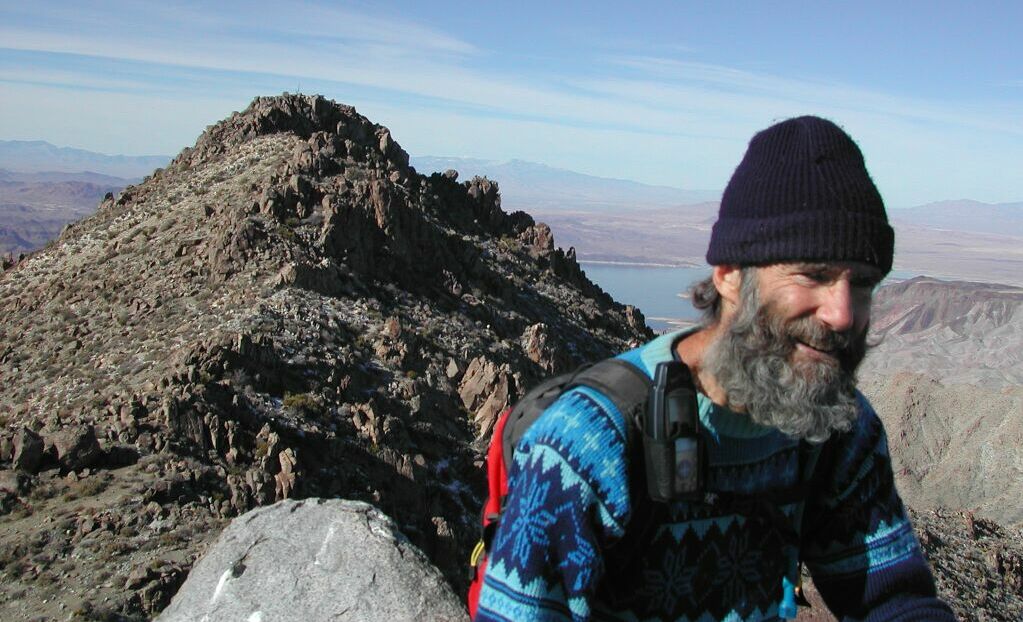
On eastern Pk of Wilson; looking WNW
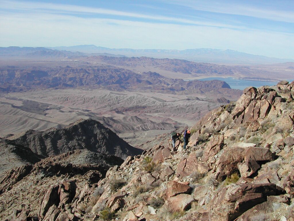
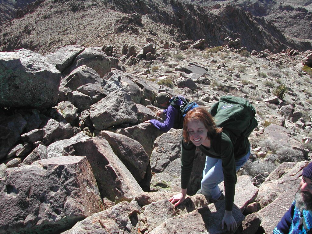
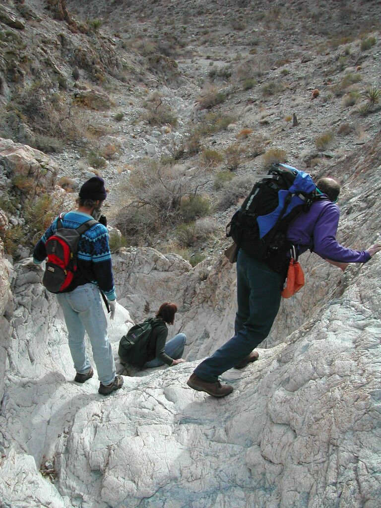
View WNW; Danny and Patti emerge, pursued by Eumenides.
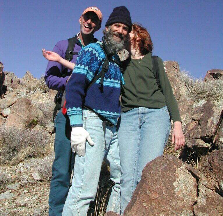
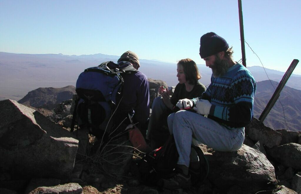
Group hug
Looking SW
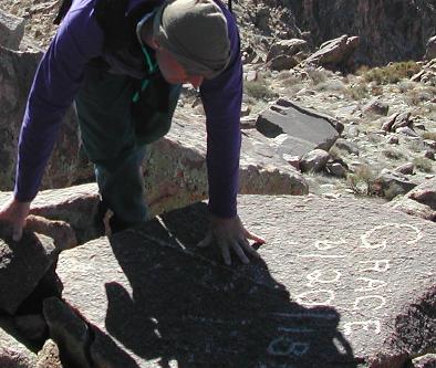
Danny reads inscription from Grace Kelly, Gracie Slick or Grace Hopper.
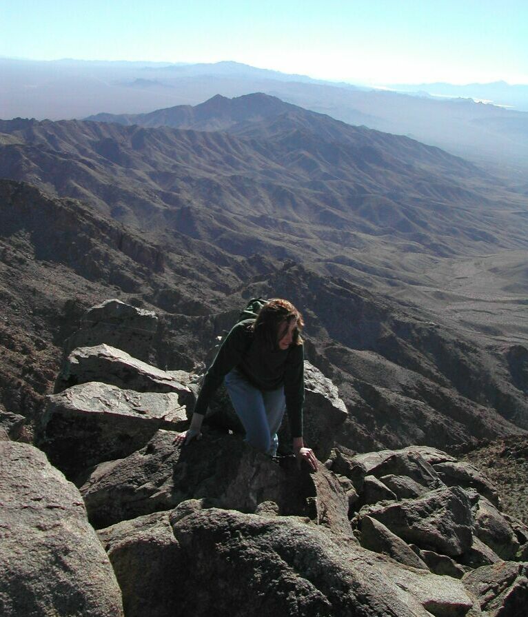
View S
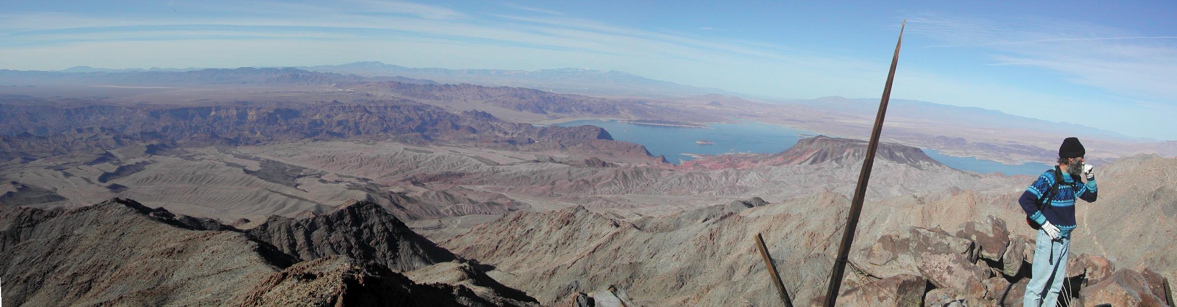
View WNW to snow-capped Charleston Pk, 65 miles away (telephoto)
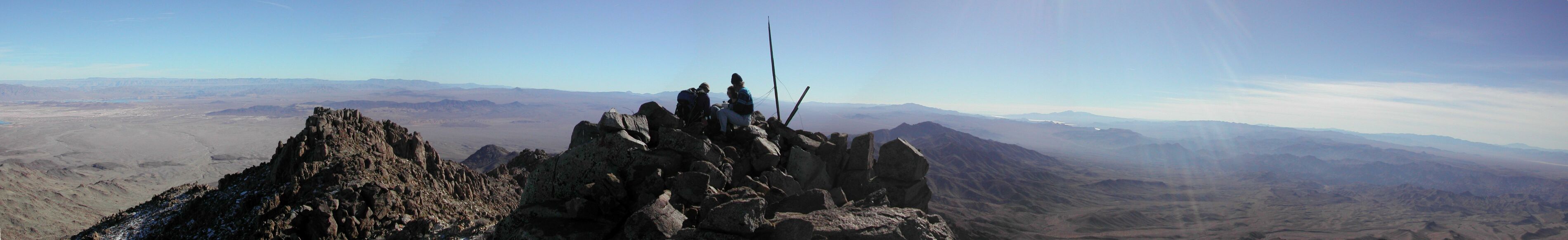
Panorama, S view at center.
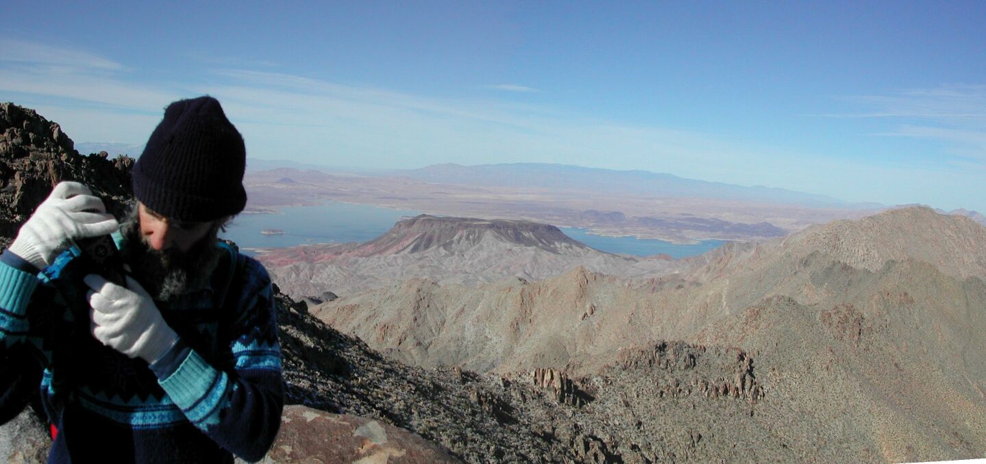
Backing down the peak… beep, beep, beep…
Nick loses his head and scares Danny
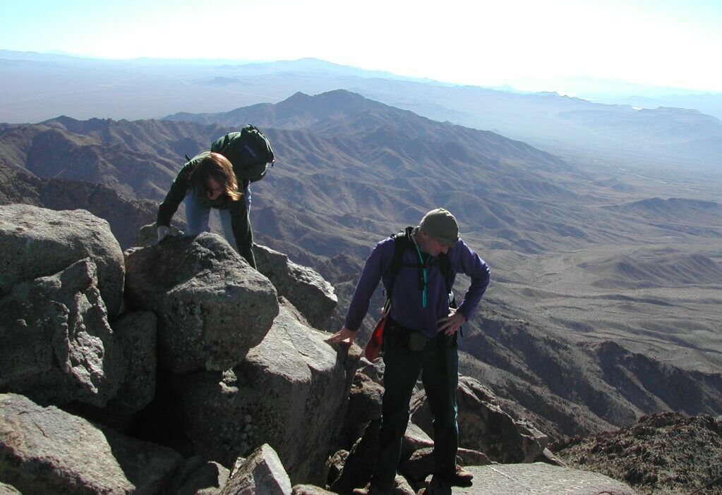
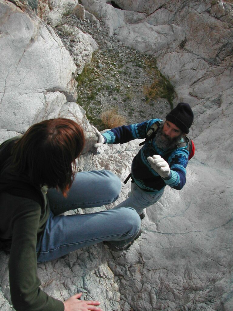
"It's perfectly safe… but you go first."
Any excuse for a hug
This space for rent
*not really.