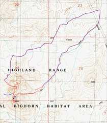
 Overview map showing the roads (purple) in. Both roads are rougher than the usual roads we take to Castle. |
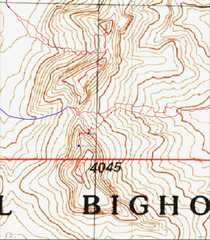 A clsoeup of the tracks near the peaks... |
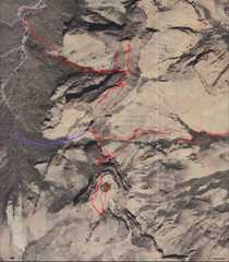 ...and the same tracks on the aerial map. |
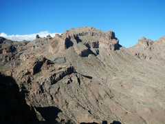
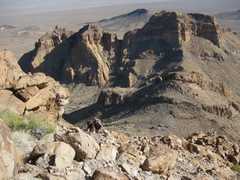 This is a view of the three summits, as seen from the W (en route to Castle Tower). The 4045' (S) peak is at R. |
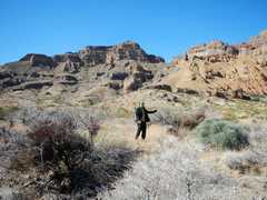
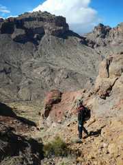
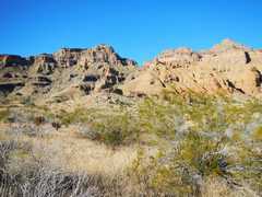 View from the 1st place we parked -- just east of peak 4045'. The highest peak (4045') is at L. |
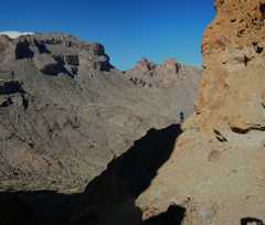
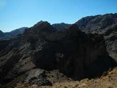
 We're at the U-notch between 4045' and the middle peak; view W to Castle Tower. |
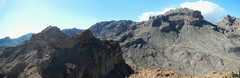
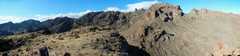 Panoramic view, from S (L) to WNW (R) |
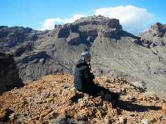
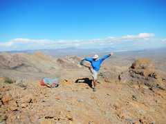
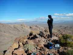 Kevin on top of 4045'. |
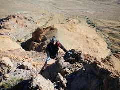
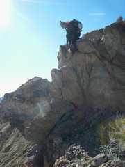
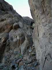
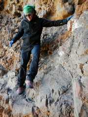 Kevin comes down the crux; he's a bove a 3-4' overhang, which could be tough for shorter folks. |
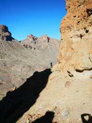
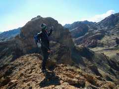
 View Kevin across (N side) U notch; Castle Tower in distance at L. |
 |
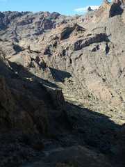 View down into valley on W side of U-notch-- you could easily descend here in order to continue on to Castle Tower. |
 |
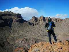
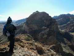
 Now we've driven around to the NW side, and have climbed the N-most peak to retrieve the "Watch your step" geocache. This view is S, over the middle peak, to 4045'. |
 Here's a panoramic view, from 4045' at L, to Castle Tower at R. |
 |
 |
 Now we head to the middle peak; Kevin is on the class 3 crux, which has some unnerving exposute to the R. |
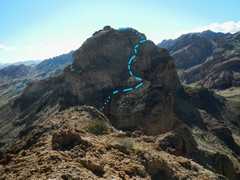 Now we're on the middle peak, view S to 4045, with the route marked. Dots indicate where the route is hidden behind rock. |
 |
 |
 |
 |
 Kevin comes down the crux. |
 We descended the "easy" valley between the N and middle peaks. |
||