Bitter
Ridge, near Lake Mead
pics by Harlan W. S. This hike is about
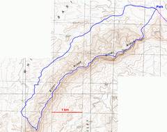
9 miles round trip, with ~3100’ accumulated elevation gain. A slight narrative
is at the end of the page. This hike would
be hot as Hell in late spring, summer and early fall. There is no trail, and
no water. Don’t go if |
|
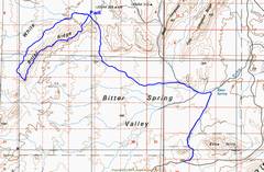
The dirt road starts about 1 mile W of Redstone picnic area; it drops over a berm, and there is a rather inconspicuous sign on the N side of the road. |
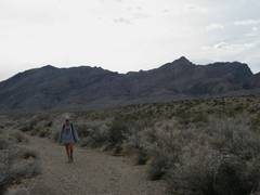
We went clockwise, first over the ridge, back to the car via the wash. |
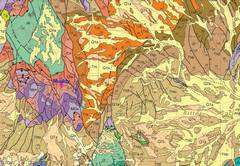
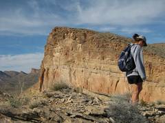
Bitter Ridge is
composed of tan, rather thinly bedded limestones, with strata separated
(possibly) by algal bedding. These are relatively young limestones (~14 my)
deposited in lakes created by the |
|
|
|
Symbols: light brown
Thb= Bitter Ridge; purple to pink at left are the Paleozoic
rocks of Muddy Mts.; Green denotes the reddish Aztec sandstone in
Maps from USGS open file report 2007-1010 (Beard et
al.) |
|
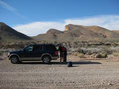
Here we are at the park spot. You can see the top of the 500’ cliff – 1000’ higher than our current position – from this “backside” view. |
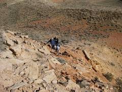
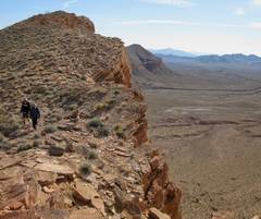
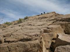
The intrepids start up; class 2 at worst. |
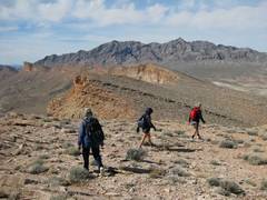
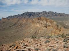
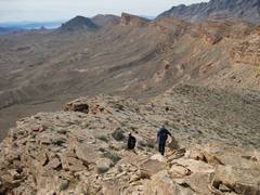
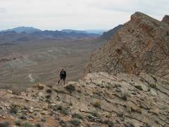
Our 1st
peak. In the far distance is our
eventual destination, the |
|
|
|
|
|
|
View NNE. Bonelli is in the far distance, middle; the Redstone Peaks are at R. |
|
|
|
|
|
|
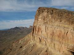
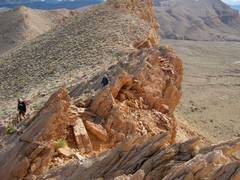
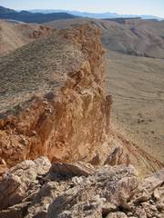
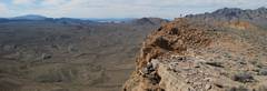
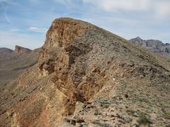
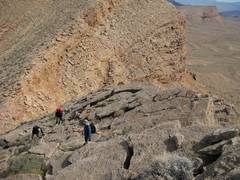
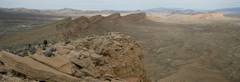
The edge is often overhung with sharp pieces of limestone. The limestone is very frictional, and clinks like broken porcelain as you walk over it. |
|
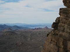
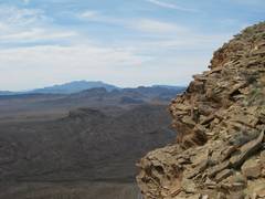
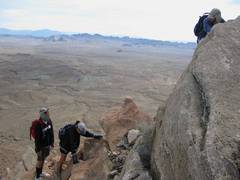
View across Bowl of
Fire to |
|
|
|
|
|
|
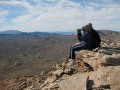
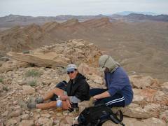
DB and CP energize. |
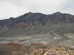
In the distance are the gray, Paleozoic limestones of Muddy Mt. |
|
|
|
|
|
|
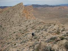
Our destination – the sharp tan peak at left – is still a ways off! |
|
|
|
|
|
|
|
|
|
|
|
|
|
|
|
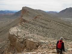
OK, so maybe some
stretches are class 2+. DB shows the
route to |
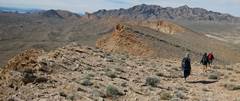
DB heads to the NEXT saddle; Muddy in background. |
|
|
|
|
|
|
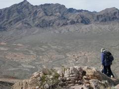
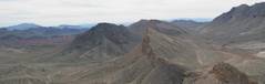
The flat-topped mesa in the background is Fortification Hill. |
|
|
|
|
|
|
|
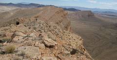
Looking back ENE at the lumps we’ve covered so far. |
|
|
|
|
|
|
|
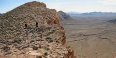
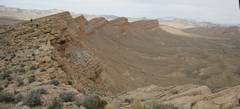
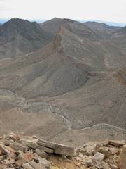
Final view of Lumps to ENE! The sunny tan lump at far R is what most people call “Bitter Ridge”; yet it is not marked so on the map, but is made of the same type rocks. |
To the SW, the rocks of Bitter Ridge Formation continue, but there is an immense drop-off where the ridge is cut by a deep canyon/wash. |
|
|
|
|
|
Lorraine and DB. |
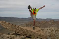
Everyone else is overdressed. Arrogance! |
|
|
|
|
|
DB, CP, and
CP’s mom (
There were great view S to
Sentinel and the
One of the highlight remarks of
the day came when CP pointed off and asked if we were looking at “Endless
Ridge” – a locally-named peak down by