 GPS track. |
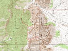
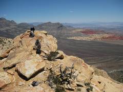
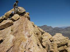
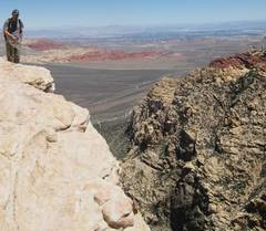
 Near the top of the North Peak Ridge; snow-covered Griffith Peak is in back. |
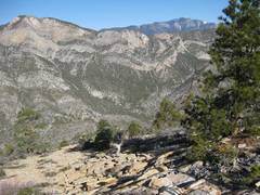
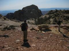
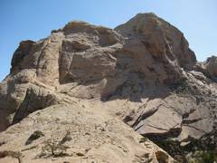
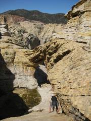
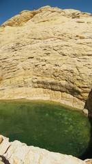
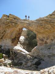
 First view of Bridge from "dragon" overlook. |
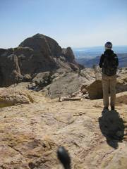
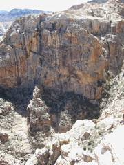
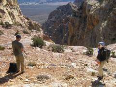 Icebox Canyon to E. |
 |
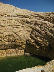
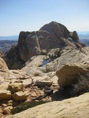 Bridge. A group of Boy Scouts has camped overnight at the pond, and climbed the peak at sunrise. |
 |
 |
 |
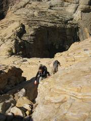
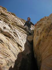
 2nd chute. |
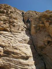
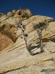 3rd chute. |
 |
 |
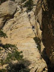
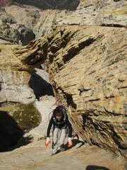
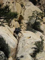
 Up the big crack. |
 |
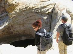
 Under the arch. |
 |
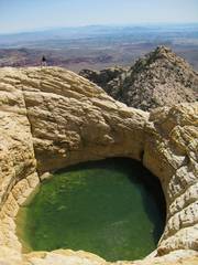
 The tinaja N of the arch. The lighting contrast was so great, that the foreground sandstone appears white. |
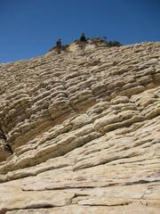
 The last ramp after Hidden Forest. |
 |
 |
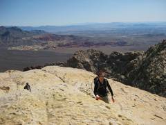
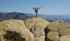 Arrogance! Not up to my normal standard-- there was a strong wind that blew the camera over before I got full extension. I just want to prove that it was shorts and T-shirt weather. |
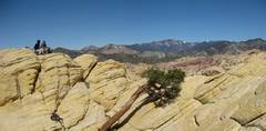 |
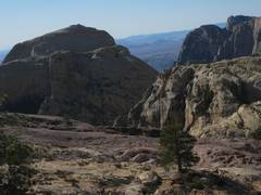
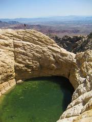
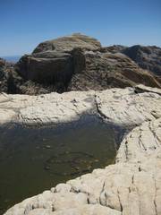
 The Tinaja E of the peak. |
 |
 |
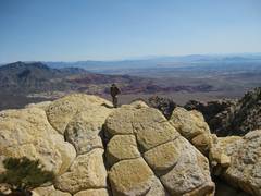
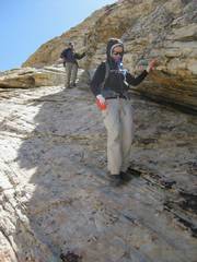
 I tricked Dagmar into providing perspective. |
 |
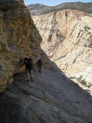
 Coming down the ramp. |
 |
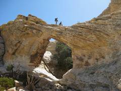
 On the arch. |
 |
 Down the big crack. |
 |
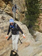
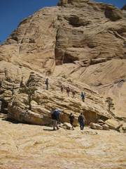 After these folks passed, I realized it was 2 groups, one of which was the Hiking Las Vegas group lead by Rick Brown. |
 They moved fast, and were soon at the top of the main crack (visible as specks!). |
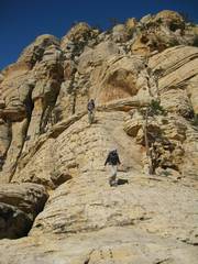
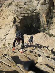
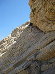
 Up the 2nd chute. |
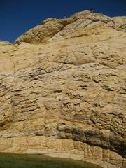
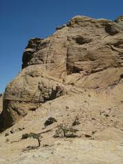
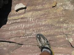
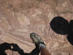 This is the breciated sandstone just beneath the the overthrust limestone. |
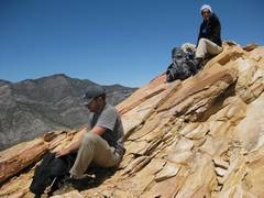
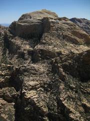
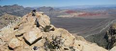 Next we went to North Peak. |
 |
 |
 |
 |
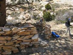 Then we went by the shelter... |
 To the Buffalo Wall overlook. |
 |
 |
 |
 Karl noticed this message in the puddle on the overlook! |
||