|
|
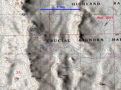
Overview map; Lori and I took the red route 12/17/11; we took the blue route Jan 10 and 14, 2012. |
This is from our 2006 trip. |
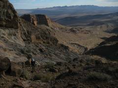
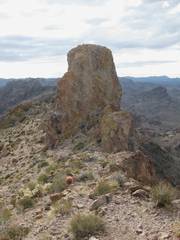
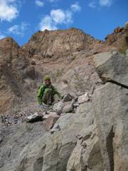
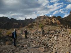
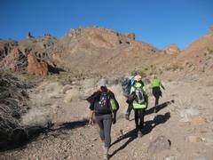
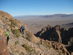
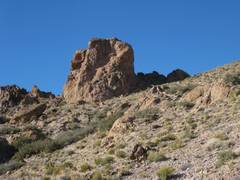
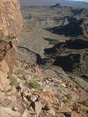
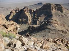
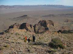
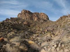
Lori and I headed up the wash. The Castle Benchmark is on the domical lump in the middle; the actual tower appears as a small nipple in the middle. |
|
|
|
|
|
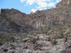
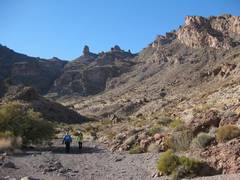
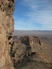
at right is Possible Mesa |
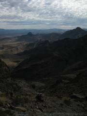
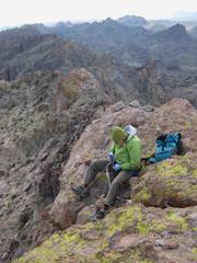
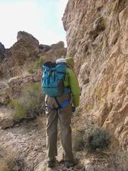
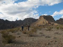
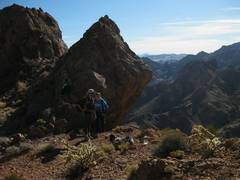
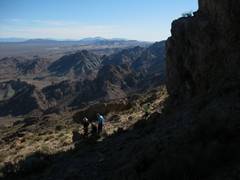
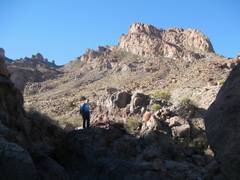
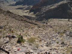
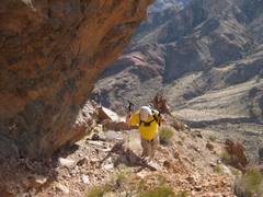
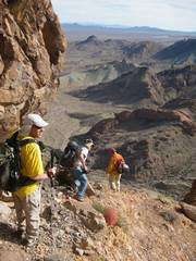
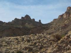
We head up pass the saddle to the base of the lower cliff band. The Ireteba Peaks are in back. |
|
|
|
|
|
|
|
|
|
|
|
|
|
|
|
|
|
|
|
|
|
|
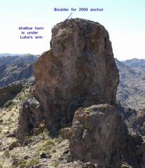
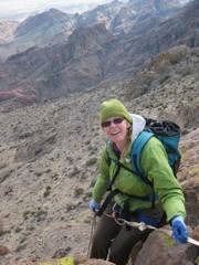
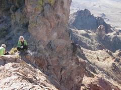
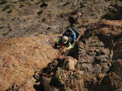
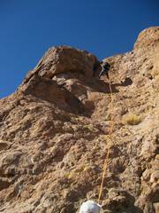
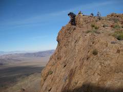
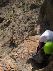
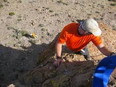
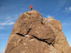
Lori sets up a great anchor on the S end of the summit block. It was 40°F at most, with a 20mph wind. |
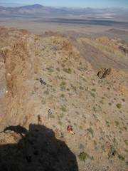
View N from summit. The drop to the W is substantial, probably over 200’. |
|
|
|
|
|
|
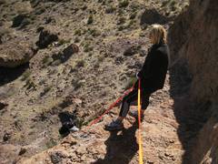
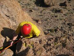
Lori put the rapide way down, so the rope wouldn’t get too abraded, and we wouldn’t stress the anchor too much. Seemed fine by me, but others didn’t seem comfortable this “right off the edge” placement. |
|
|
|
|
|
|
|
|
This is the “oops” chute. 3 out of 5 times, I’ve been gabbing, took the wrong ramp, and had to go up this class 3+ chute. |
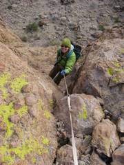
Lori skitters down the marbles-on- cement section below the oops chute. |
|
|
|
|
|
Dennis meets us. |
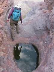
This is the pothole that fractured my ankle 2 years back. Bad pothole! |
Lori points to “Monkey Fist.” |
|
|
|
|
|
|
|
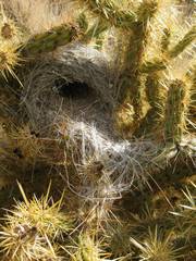
Birds nest, using cactus to discourage predators. |
|
|
|
|
|
|
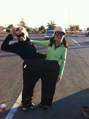
Start of Jan 10, 2012 trip. Gina and Cory explore the BIG PANTS. |
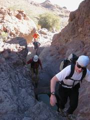
We head in. All the ladies chose to wear tights for some reason. Cori and Gina wore the same outfit to the prom. |
|
|
|
|
|
|
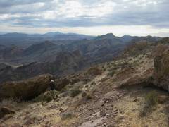
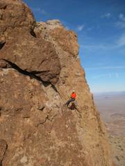
View back east at the technical summit to the east. Finally we take the upper ramp, no “oops” chute. |
Don’t fall to the left; steep talus leads to a 200’ cliff. |
|
|
|
|
|
|
Note Gina’s arm is in a sling. |
Same location as last photo; this is where the upper route breaks through the cliffs. |
|
|
|
|
|
|
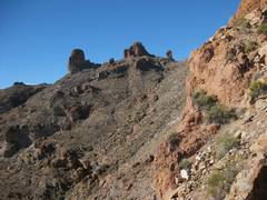
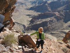
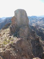
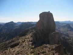
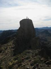
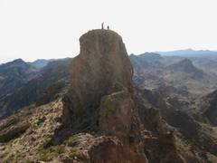
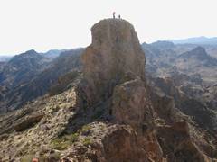
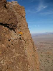
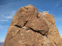
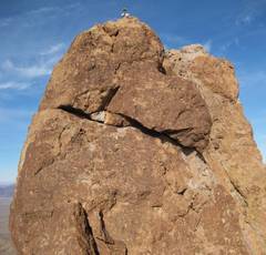
View of the tower from the east, down below. |
View of tower from N. |
|
|
|
|
|
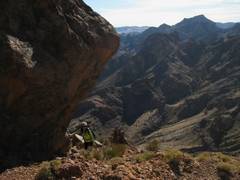
There is a very big cliff on R side, to W of peak. |
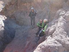
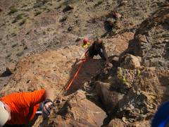
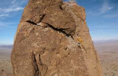
Gina directs handline to Fabe. |
Jack does backup for Cory. |
|
|
|
|
|
benchmark point to catch others on tower. |
Gina. |
|
|
|
|
|
|
Cory. |
|
Fabe. |
|
|
|
|
|
|
|
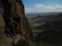
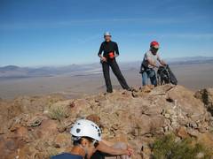
I try to grab some lunch while the other folks sit in the sun. |
|
|
|
|
|
|
|
|
|
|
|
|
|
|
|
|
|
|
|
|
|
Start of Jan 14, 2012 trip with |
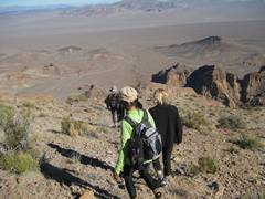
I do the dog trick—rush up ahead to show the way, then wait for folks. |
|
|
|
|
|
|
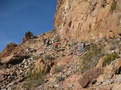
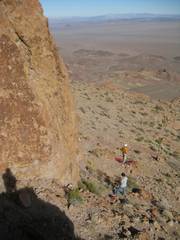
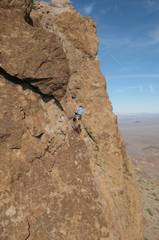
Folks head around the last cliff to the break-through-cliffs area. I wait for the other folks. Doesn’t look bad, but the steep talus at L falls down to a 200’ cliff. |
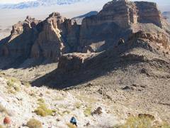
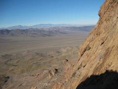
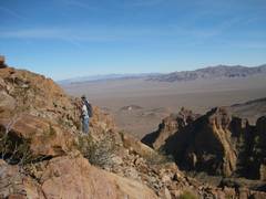
View back at Possible Mesa. |
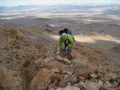
Ali breaks through the cliffs. |
|
|
|
|
|
|
Lynda looks off W side, over a very, very long drop. |
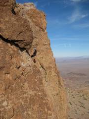
OK, now I’ve climbed up to the upper crux on the tower, ready to set a handline. Bill hands me my pack. |
|
|
|
|
|
Folks below, waiting for the good word. |
Folks to N, by the benchmark. |
Dan put loops in the handline, and guides from just below crux. |
|
|
|
|
|
|
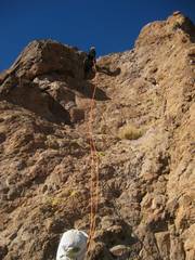
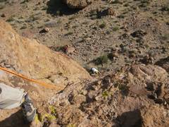
Meanwhile, Bill and I set up rap. I rapped down, realized I had left my pack on top, climbed back up. only to find that Bill had already rapped down with my pack. |
Ali heads down. |
|
|
|
|
|
Michelle and Eric, with James in foreground. Eric gets ready to toss his atc off the cliff. |
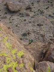
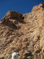
I rapped down again. rushed to the benchmark point and took a few pics of folks on top. |
|
|
|
|
|
|
|
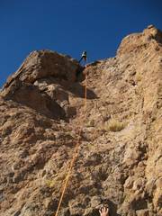
Then I went to a spire S of the peak. Here Fred D raps down. |
|
|
|
|
|
|
|
|
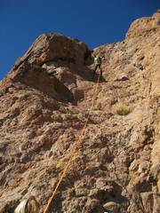
Then Michelle. |
|
|
|
|
|
|
|
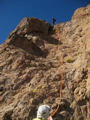
Then Matt R. |
|
|
|
|
|
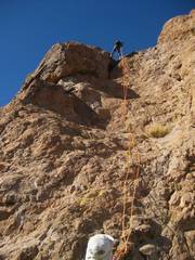
Then Dan. |
Heading home. |
Back through the break in the cliffs. |
|
|
|
|
|
|
|
|
|
|
|
|
|
|
|
|
|
|
|
|