Gumby
(Sheep
|
|
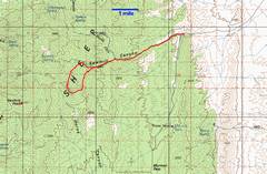
The route on a 100k topo. You could drive about 1/3 mile farther in, at the risk of foundering your car in the loose gravel. |
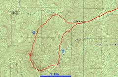
The 24k map for the last part of the trip. The blue dotted line shows CP’s approximate route back. |
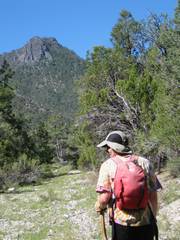
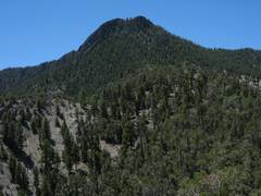
Gumby, as seen from early on, while walking WSW on the old road. |
|
|
|
|
|
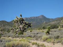
I thought this peak might be the un-PC-named “Negrohead” (which is actually a trivial lump farther off), and commented that it reminded me more of Gumby’s head. |
|
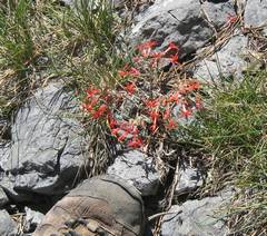
Scarlet Gilia. |
|
|
|
|
|
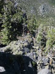
The ridge had little brush. |
In places the ridge route consisted of very large, stable limestone boulders. |
|
|
|
|
|
|
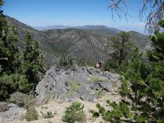
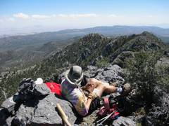
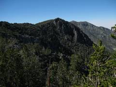
I’m on top, looking down of DB, still chugging up the ridge. |
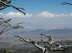
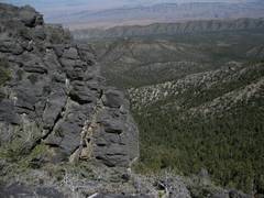
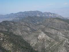
The 2nd-highest peak in the range is at R. |
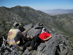
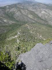
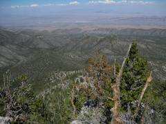
Now I’m looking SE over out planned descent route & ridge “run.” Hmmmm, looks rougher than I thought. |
|
|
|
|
|
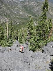
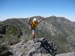
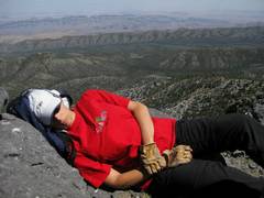
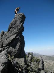
On top, DB immediately nodded off. Given her ability to fall asleep with ease, she might have gone to medical school. |
The wind came up as CP was taking the picture, so I had to hop into the wind. Arrogance! |
|
|
|
|
|
|
|
|
|
|
|
|
|
|
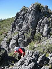
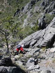
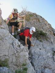
Well, the SE ridge proved a lot more complicated than we surmised. I felt guilty taking DB through this crap, but she soldiered on without complaint (maybe I just didn’t hear her!). I kept breaking dead branches in the way, earning the sobriquet “Branch Harlan.” |
|
|
|
|
|
|
|
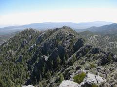
The ridge was full of little surprises, which one might climb expecting a walk-off on the SE, only to find… |
|
|
|
|
|
|
|
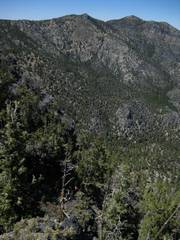
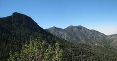
View N toward Ram Peaks. |
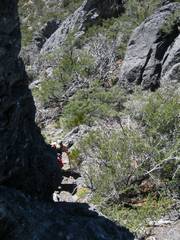
CP pushes DB down a chute, using his mountain-lion cane. (OK, I almost used a synonym for “mountain lion.” Mea Culpa.) |
DB and I parted with CP for his ridge run, and I took one look back W to Gumby, and the 9782’ peak to the R. I looked for break in the cliffs, and headed down a mostly-open, pleasant alternation of streams an ridges. DB and I made good time back to the road, and had little to slow us down. |
|
|
|
|
|
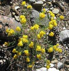
Buckwheat. |
|
|
|
|
|
|