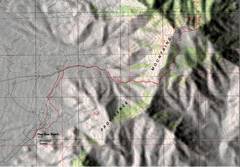
 Relief map with shading. |
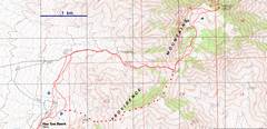 A clearer topo with an alternate route. |
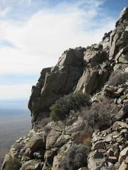
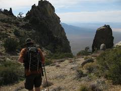
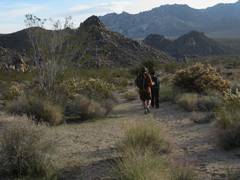
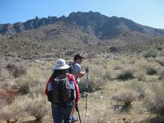 This view W was taken from a point just W of the "prospects" marked on the map. |
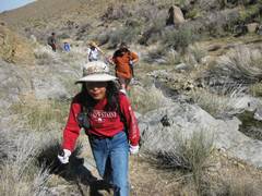
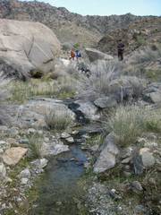
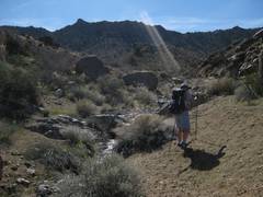 Water in the Mojave! Eric receives instructions from the Supreme Being. |
 |
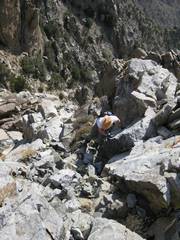
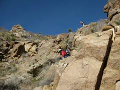
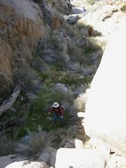 Kay approaches one climb. |
 |
 |
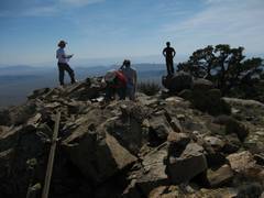
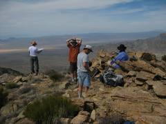
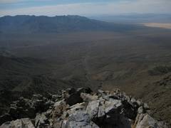
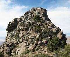
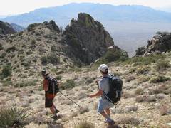
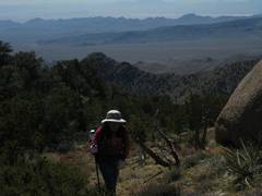 Now we're ~ 1850 m, just E of the "U" (in "mountains") on the map. |
 |
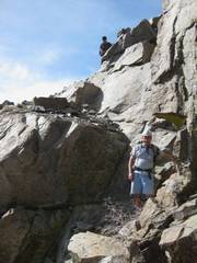
 Amazingly enough, someone had been on this little-traveled peak the day before-- we saw his prints. |
 |
 |
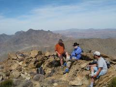
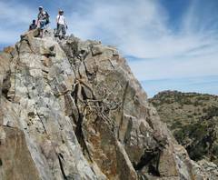
 Mitchell and Edgar in back. Arrogance! |
 Mitchell and Edgar again. |
 |
 |
 |
 Now I'm looking down from the top of the sharp peaklet ("Decaying Molar" Peak) at Kevin, who tries an alternate chute. |
 View W at Matt as he comes over edge. Note Kelso Dunes to R. He found a large teetering rock on the very edge. |
 |
 Now I head down across the edge and get a view back at (L to R) Matt, Eric and Kevin. |
 |
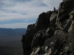 A better idea of the exposure. |
 |
 |
 |
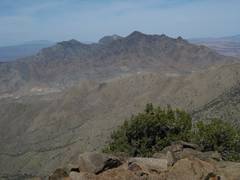
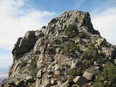
 HTMM is on R with the full "Decaying Molar" peak to N. |
 |
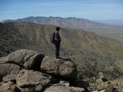
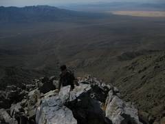
 Jeff pauses to wonder if it would be faster to jump off the cliffs on the W side. |
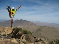
 Matt imitating Don B. |
 |
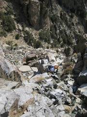
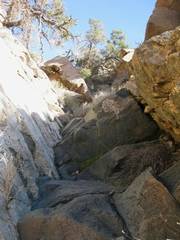 View up a dryfall we ascended in the morn (we avoided it on descent, as it was slippery). I realized it was a basaltic dike eroded down between two granitic slabs. |
 More water in the desert! |
 Eric pumps water for Kevin. |
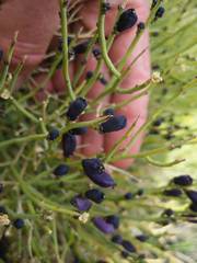 Turpentine bush. |
 Granite in back; we're close to the cars. |
||