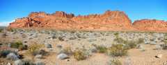
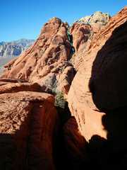
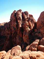
 Peak 2972 NV (Valley of Fire) |
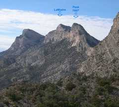 Peak 7667 NV (Near Red Rock Canyon) |
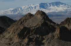
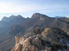
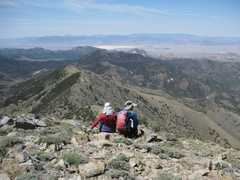
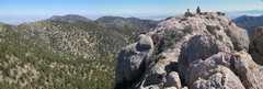 Peak 8749 NV (Spring Mountains) |
 Arch Mountain AZ (Lake Mead) |
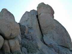
 Arrow1 NV ("Broken Arrow" east of rte 93) |
 Arrow2 NV (USGS Arrow Range 5205') |
 Arrow3 NV (South Arrow) |
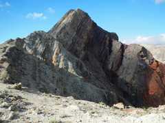
 Bat Mountain CA (east of Death Valley) |
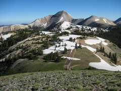 Belknap and Baldy UT (Tushars east of Beaver) |
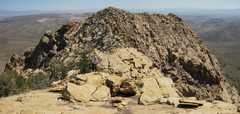
 Big John NV (Sheep Range north of Las Vegas) |
 South Black Mountain NV (near Henderson) |
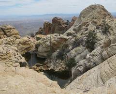
 South Calco Tanks Peak NV (Near Red Rock Canyon NCA, west of Las Vegas) |
 Canaan Mountain UT (South of Zion NP) |
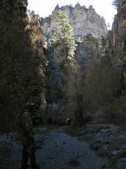
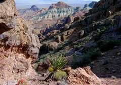
 Canine Crag NV (Slaon Canyon area) |
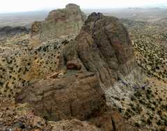
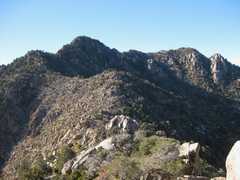
 Castle Ridge NV (Highland Range, SW of Boulder City) |
 Castle CA "South" (peak #2 in Summitpost) |
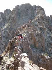
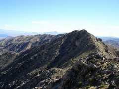
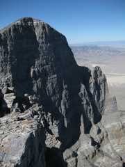
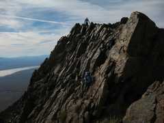
 Castle Tower NV |
 Cathedral Peak NV (Meadow Valley Range, near Alamo) |
 Last Chance NV (West of Pahrump) |
 Clinton Peak NV (Spring Mountains) |
 Copper Peak NV (East of Searchlight) |
 Dean Peak AZ (Hualapai Mts, south of Kingman) |
 Devil Peak NV (SW of Jean) |
 Dove Benchmark CA (SW of Searchlight) |
 El Bastardo NV (View from; near Red Rock) |
 "Elbow" Mountain Peaks NV (West of rte 93) |
 El Padre NV (North of Sandstone Quarry on Red Rock Scenic Loop) |
 Endless Ridge NV (View from; Lake Mead area) |
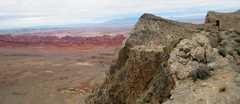 North Fire Peak NV (View from near, south of Valley of Fire) |
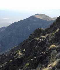
 Gottlieb Peak NV (View from, west of Las Vegas) |
 The Guardian NV (View from; near Lake Mead) |
 Impossible Mesa NV (SW of Boulder City) |
 Middle Ireteba Peak NV (South of Boulder City) |
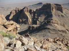
 Jumbo Peak NV (near Gold Butte) |
 North Kingston CA (South of Pahrump) |
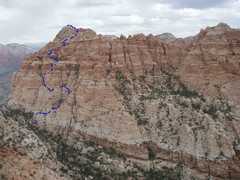
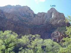 Lady Mountain UT (Zion Canyon) |
 La Madre NV (View from; north of Sandstone Quarry, west of Las Vegas) |
 Meeker Peak NV (NE of Rachel) |
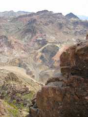
 Mica Peak NV (View from; near Gold Butte) |
 North Castle Butte CA (SW of Searchlight) |
 Notch Peak UT (west of Delta) |
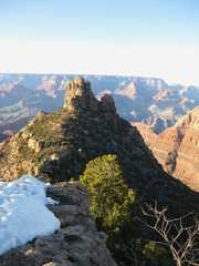
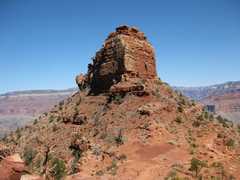 O'Neill Butte AZ (Grand Canyon) |
 Pincushion Ridge NV (west of Las Vegas) |
 Pinnacle NV (Lake Mead) |
 Noth Quinn Mountain NV (View from; north of Rachel) |
 South Quinn Mountain NV (view from; north of Rachel) |
 Railroad Peak NV (NW of Boulder City) |
 Red Book Peak NV (West of Las Vegas) |
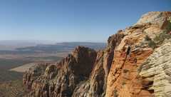
 Sandstone Peak NV (Red Rock Canyon NCA, west of Las Vegas) |
 Sentinel NV (Also called Rainbow; Lake Mead) |
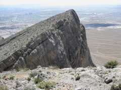
 Sinking Ship AZ (Grand Canyon) |
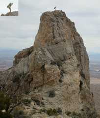
 Thimble Peak CA (Death Valley) |
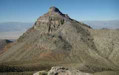
 Ubehebe Peak CA (Death Valley) |
 The Watchman UT (Zion Canyon) |
 Wheeler Toiyabe NV (Spring Mts, north of Pahrump) |
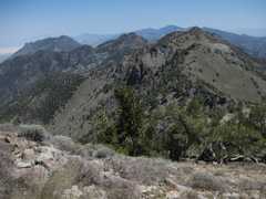
 Willow Peak NV (Spring Mts, north of Pahrump) |
 Woody NV (West of Las Vegas) |
 Monument NV (Red Rock CNCA, west of Las Vegas) |
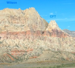 Cactus Flower Tower NV (Red Rock CNCA, west of Las Vegas) |
|